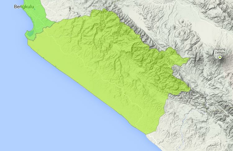
LOCATION OF SELUMA
This map image shows the Seluma District involved in StIRRRD:
For our online interactive map of the project click here
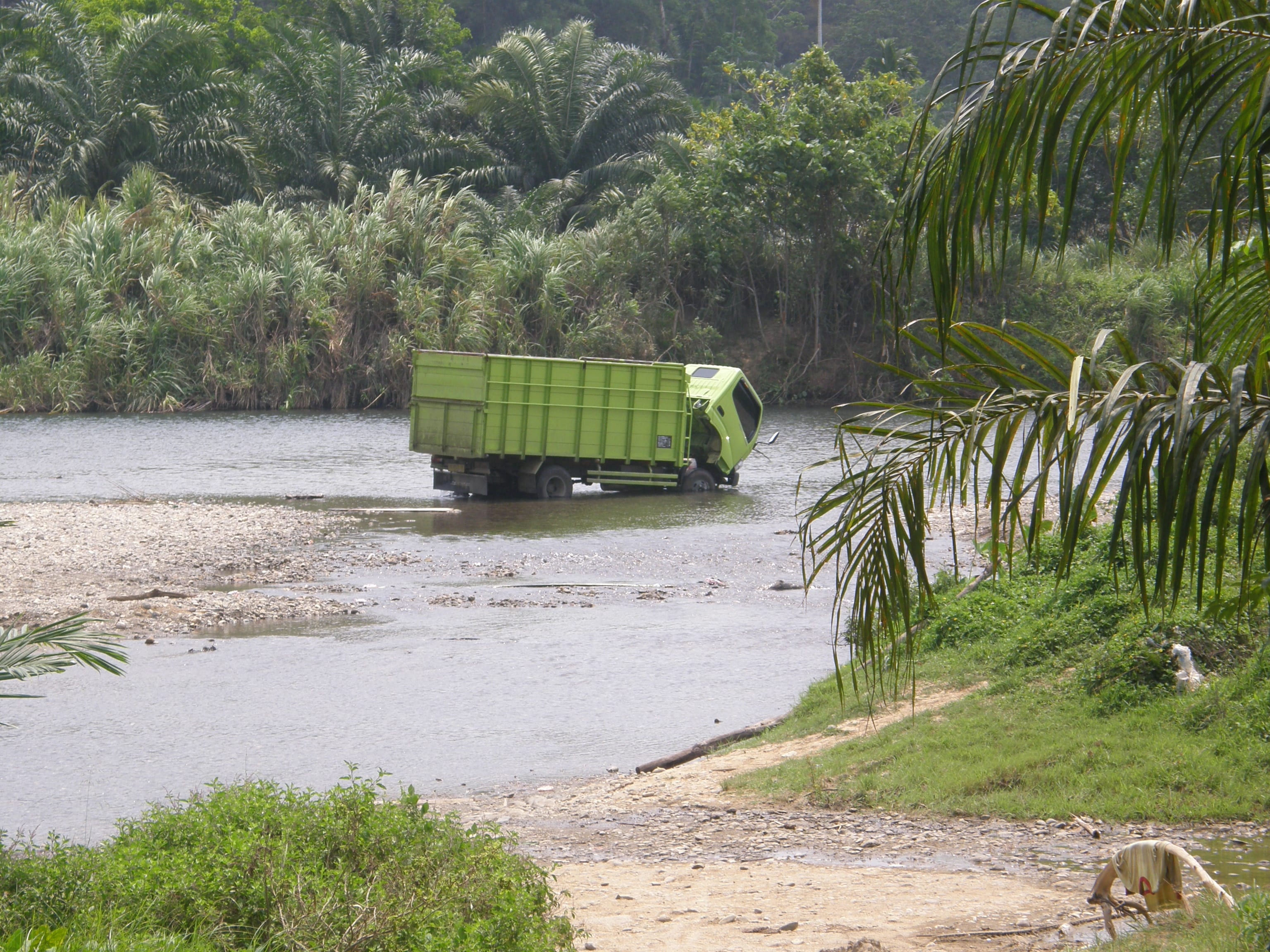
August 2017 Earthquake Shakes Bengkulu
SELUMA ACTION PLAN
The Disaster Risk Reduction Action Plan developed for Seluma is available in English and Bahasa Indonesia
For comment on the progress of the Seluma Action Plan as at July 2017 click here
For comment on the progress of the Seluma Action Plan as at March 2017 click here
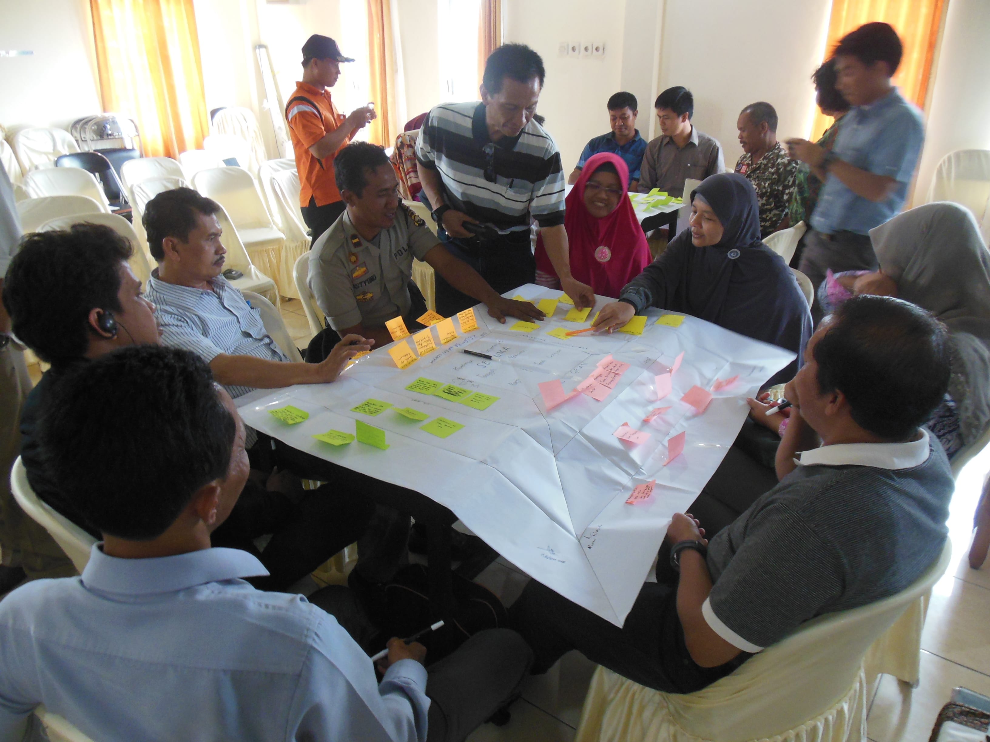
SELUMA ACTION PLAN WORKSHOP
The Seluma DRR Action Plan workshop in Pasar Tais developed a Draft DRR Action Plan. Click the link for the workshop report
To see the Field Visit held as part of the Action Plan Workshop held in August 2015 click here
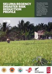
SELUMA DISASTER RISK REDUCTION PROFILE
Seluma Regency – Disaster Risk Reduction Profile (English) summarises the vulnerability of Seluma’s Natural, Social, Built and Economic environments to natural disasters, and outlines some of the measures currently being undertaken to reduce risk. The profile is also available in Bahasa Indonesia Seluma Regency – Disaster Risk Reduction Profile (Bahasa)