
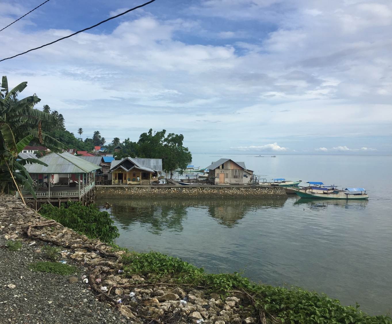
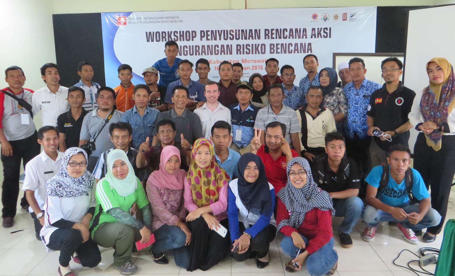
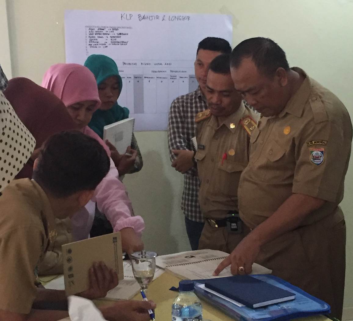
Held on 16 February, Morowali’s Action Plan workshop received positive feedback from local stakeholders and parliamentarians. Having experienced frequent flooding and coastal abrasion issues in recent years, local authorities have been concentrating reduction efforts on mitigating the impacts of these natural hazards, largely through physical works.
Morowali’s Vulnerability Profile
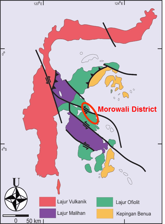
Working through Morowali’s vulnerability profile showed that while flooding and coastal abrasion are frequent occurrences, the threat of large earthquakes affecting the district is very high. Due to the presence of active faulting across Central Sulawesi and the specific location of some faults (see image), Morowali ranks in the top 40 out of 500 districts prone to earthquake activity across Indonesia.
Earthquakes: So what’s the risk Morowali?
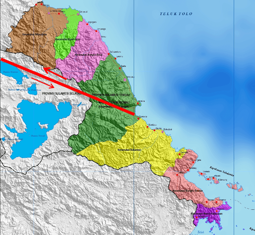
In his presentation to workshop participants, Professor Iman Satyarno from UGM University, described the prevalence of the Matano Fault in central Morowali (see image). On 16 April 2012, a magnitude 5.8 earthquake occurred, located on or nearby this fault. The earthquake heavily damaged houses in two communities while also damaging Morowali’s government buildings. Two years later another earthquake occurred further to the east, causing less damage but still being felt across central Morowali. This recurrent activity is a reminder of the prevalent earthquake risk across the district.
Earthquakes: What are the DRR options?
While large earthquakes are relatively infrequent in Morowali, compared to other natural hazards, their impact may be substantially larger than the combined impact of smaller events. This concept has been recognised by members of local government, the emergency management agency (BPBD) and other key stakeholders attending the workshop.
These members of the community are now considering many initiatives to reduce the risk from future earthquakes. Such initiatives include methods to strengthen existing buildings, socialisation of information on building earthquake resistant structures, microzonation of land in close proximity to active faults and regulations for future development and construction.
A Quick Win for Morowali and StIRRRD
Having a wide representation of stakeholders to consider disaster risk reduction initiatives is key to ensuring efforts are coordinated. On 17 February, the StIRRRD team visited the local parliament to raise awareness of the project’s focus on Morowali District and seek support for the community’s action plan going forward.
During this meeting, local parliamentarians (DPRD) raised concerns regarding Morowali’s earthquake risk, particularly in regard to the Matano Fault, which had only been located in the district after boundary changes in recent years. DPRD representatives attending the previous day’s workshops were able to convey the district’s vulnerability profile to decision makers within a matter of hours. As a result, Morowali is now considering implementing earthquake resistant regulations and micro-zonation of properties in close proximity to the Matano Fault.
A great result for Morowali District and StIRRRD team from their short visit! The StIRRRD team will return to Morowali later in 2016 to provide feedback on the district’s risk reduction action plan.