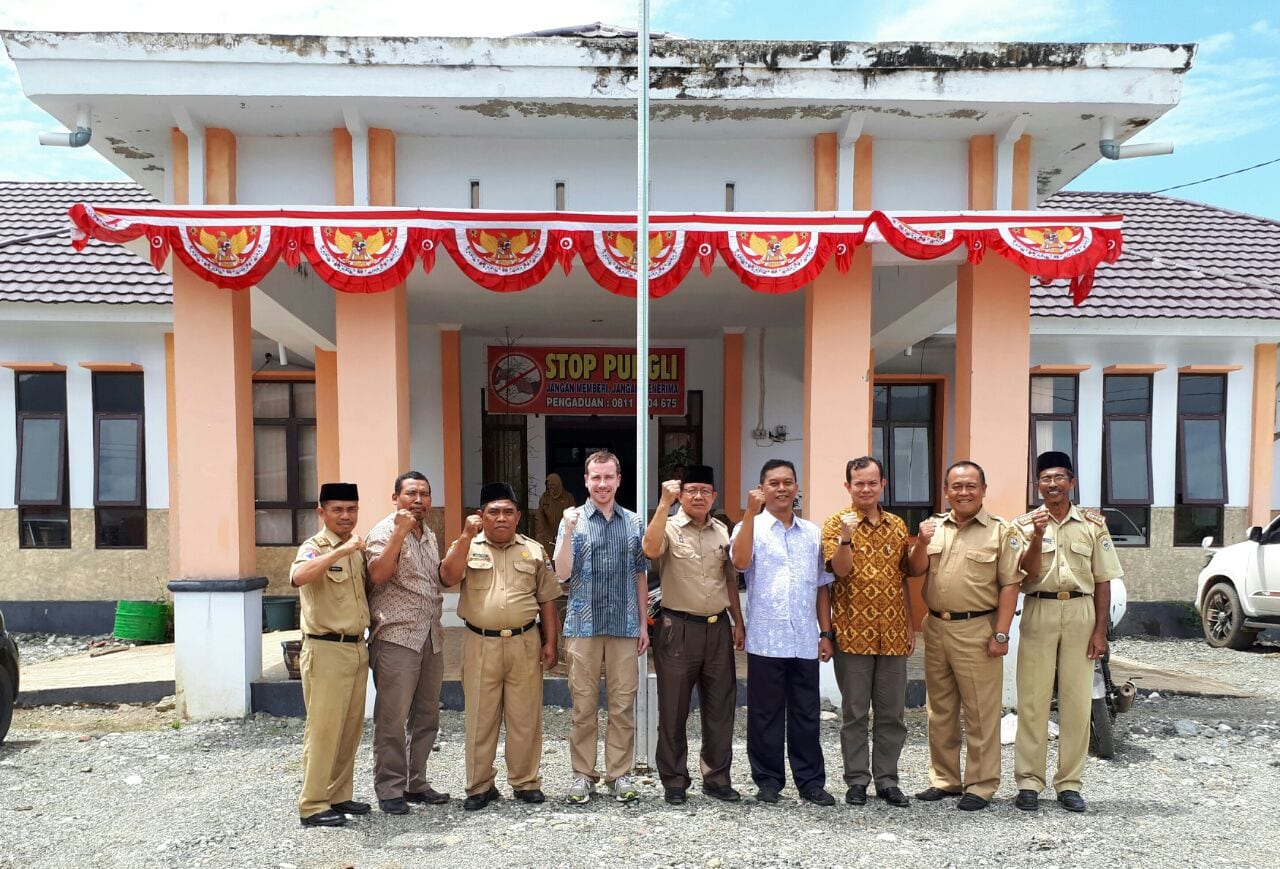
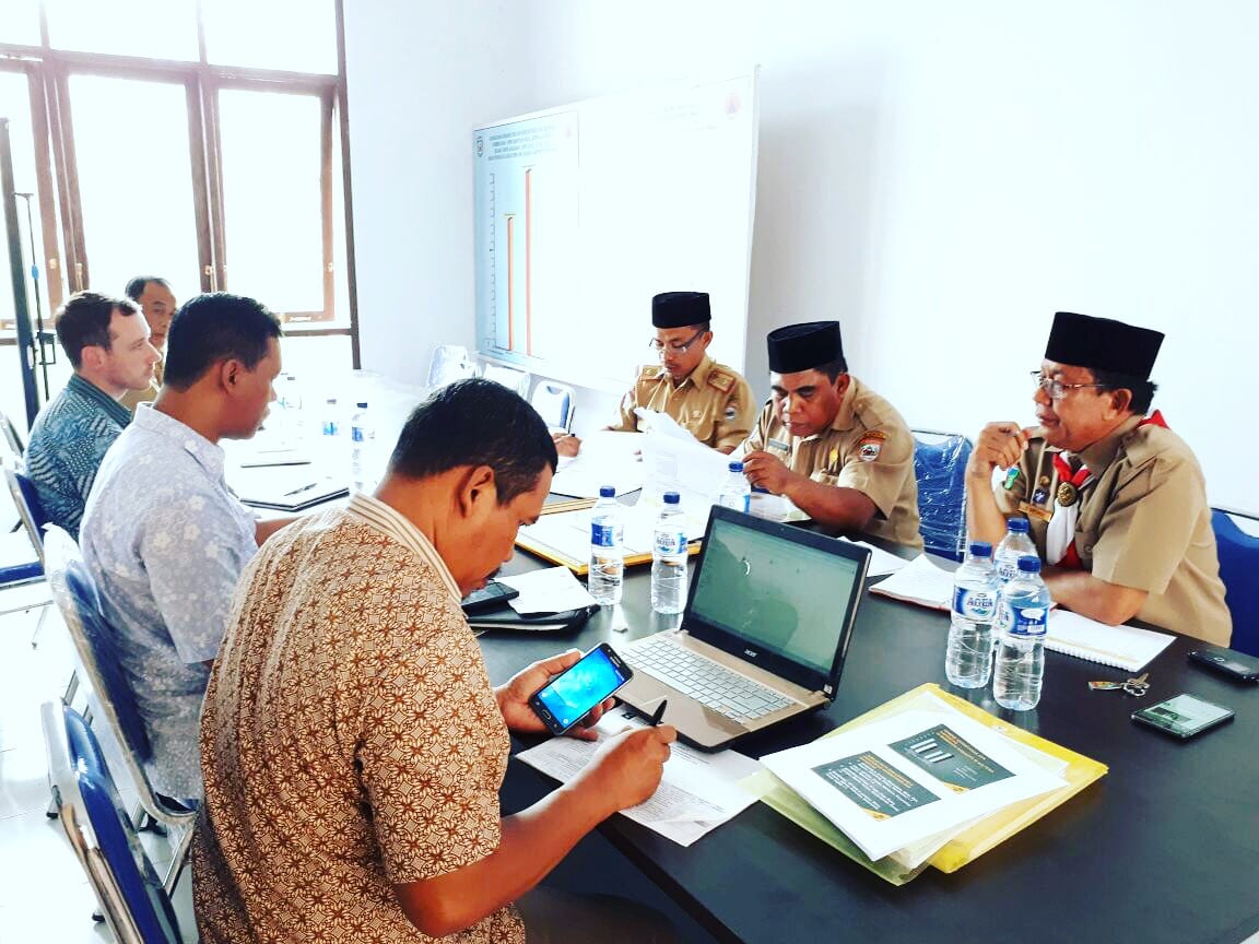
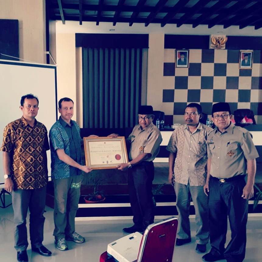
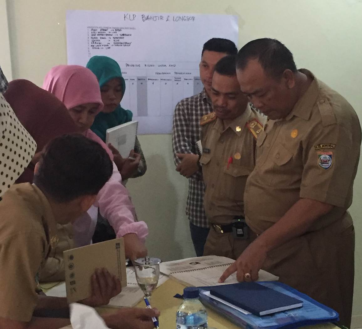
As part of the coaching and mentoring phase, StIRRRD team members visited Morowali on 14 and 15 August. This was a good opportunity to meet Pak Nafsahu, the new head of BPBD, and congratulate the district on graduating stage one of the StIRRRD programme. On Monday morning, the team met with staff from BPBD to discuss action plan progress where Pak Nafsahu reiterated the strong support Morowali has for StIRRRD. That afternoon the District Secretary was presented with a graduation certificate, commemorating Morowali’s graduation of StIRRRD phase one followed by a DRR training session for staff from many local government departments.
StIRRRD team members meet with BPBD staffMorowali phase 1 graduation ceremony
Morowali has made significant progress on action plan activity implementation since the last visit in March, highlights include:
The implementation of a text based warning service partnering with BMKG, Telkomsel and Indosat. Morowali was the first district in Indonesia to pilot the implementation of this successful public-private initiative.
A disaster management plan was commissioned with the support of BNPB.
A district specific risk assessment has been conducted and is being reviewed by BNPB. This document specifically identifies the Matano Fault risk where the fault location is being used to inform spatial land use plan boundaries.
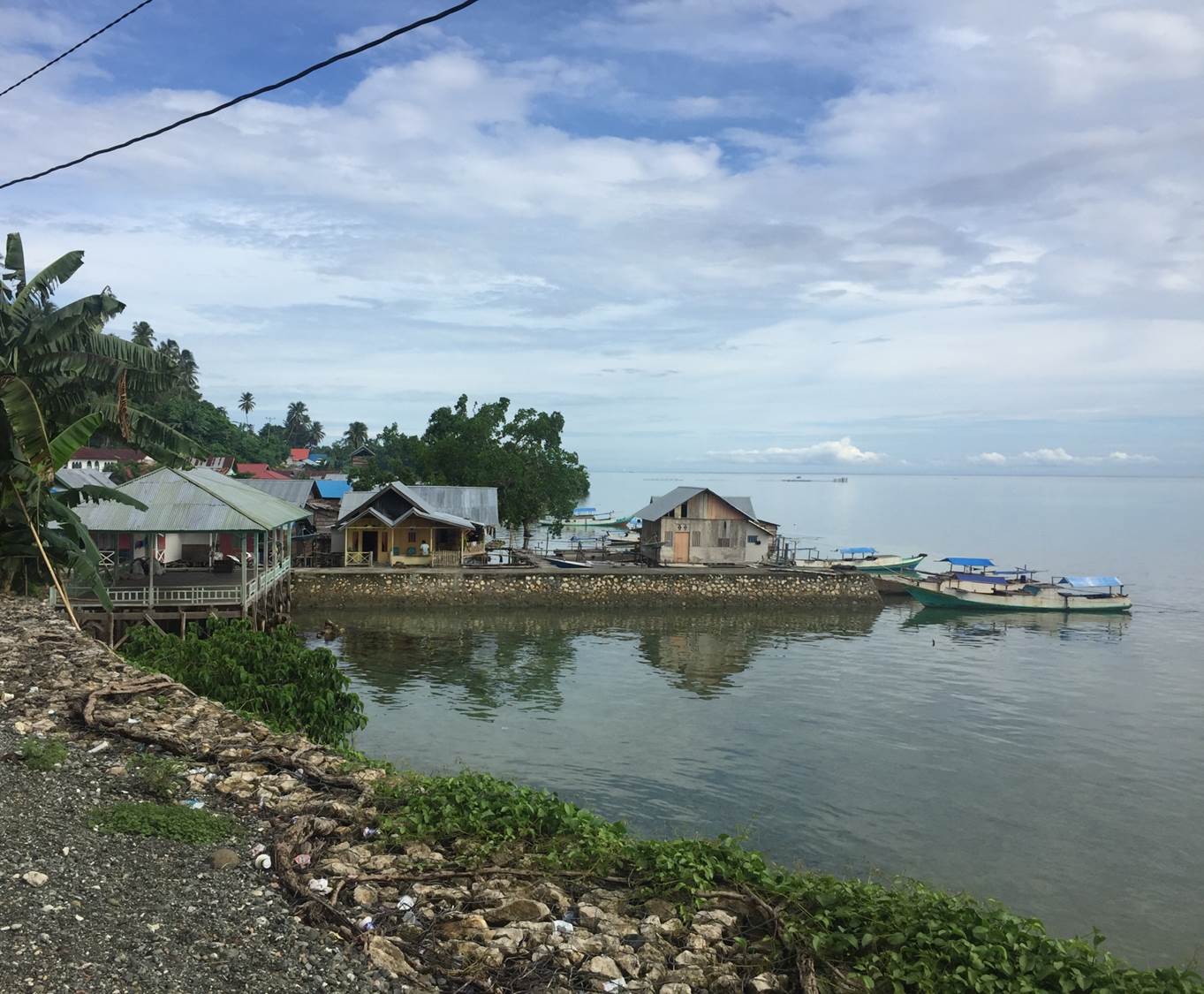
A response coordination facility has been erected on Sombori Island.
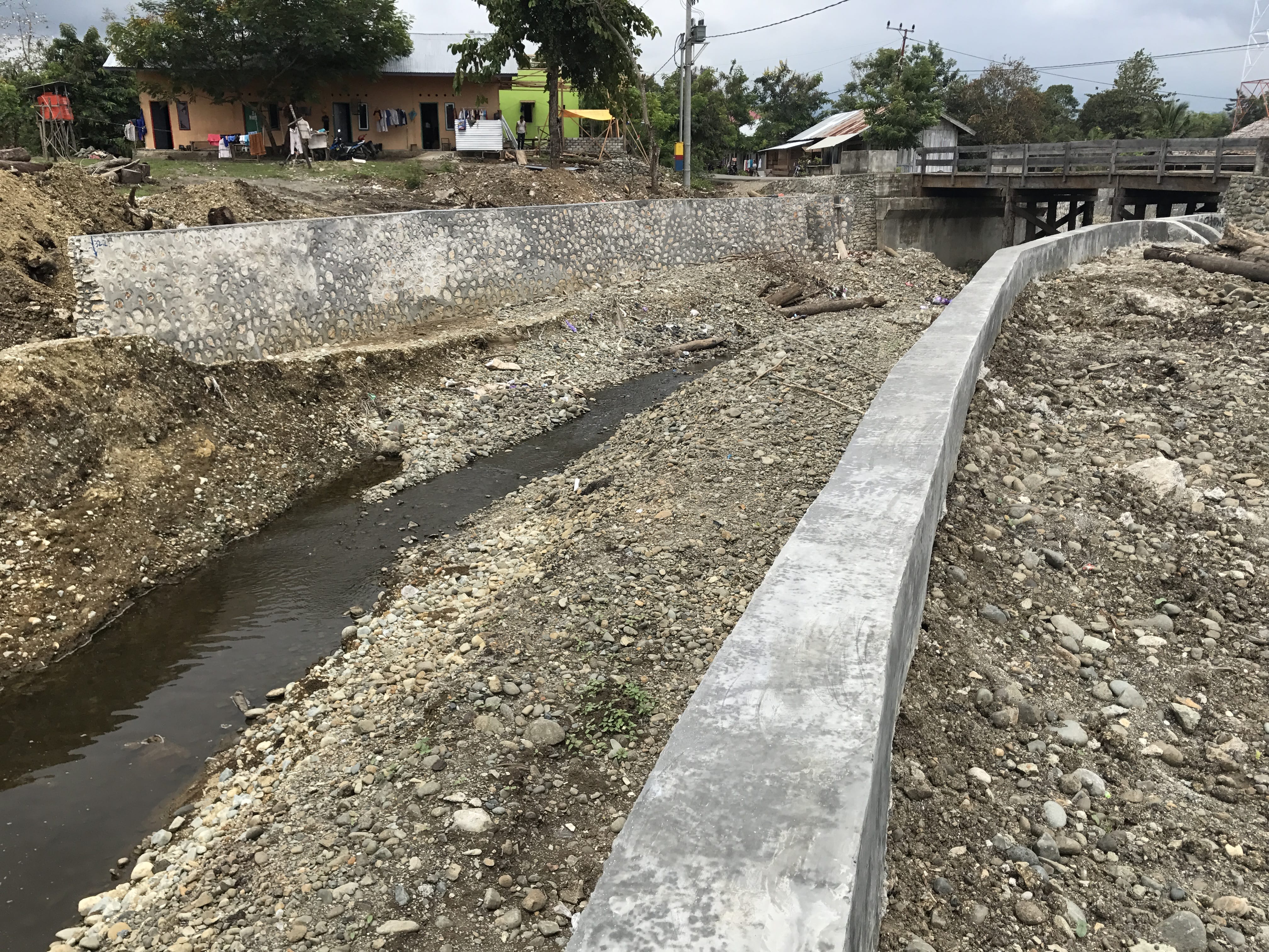
Multiple physical works, to reduce the impacts of flooding and coastal waves, have been constructed across the district.
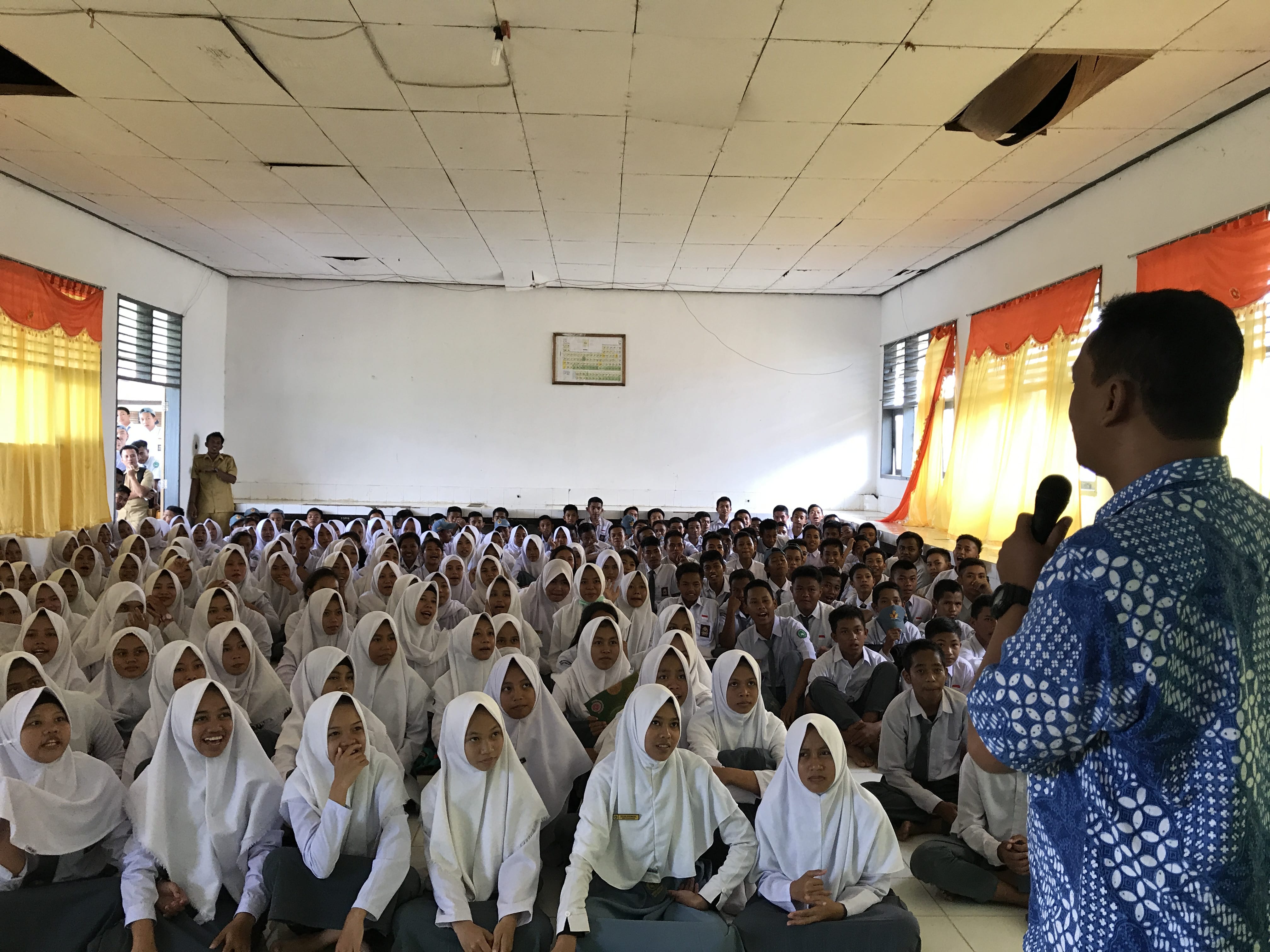
StIRRRD team members discuss DRR activities at a secondary school in Bahadopi VillageRecent river work improvements to reduce flooding in Bahadopi village
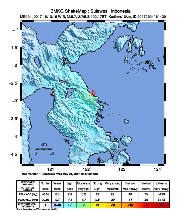
At 4.10pm on 24 May 2017, a magnitude 5.7 earthquake occurred off the coast of South Bungku District, Morowali. The earthquake is thought to have occurred on the Matano Fault at a depth of around 10km. Several felt aftershocks have occurred since the initial earthquake.
Shaking was felt strongly in Morowali with reports of people running from houses. Subsequent media reports note that at least 20 homes were damaged, most lightly, with one house severely damaged in Siumbatu Village, South Bungku District.
Map showing the location of the earthquake and indicative shaking intensities. Source: www.bmkg.go.id
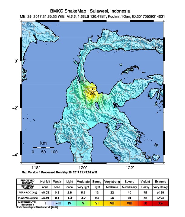
Only five days later, at 9.35pm on 29 March, the province was again shaken, this time by a magnitude 6.6 earthquake centred 38km from the village of Poso. This earthquake was strongly felt in Poso and according to media reports, generally felt in most parts of Central Sulawesi. Media reports indicate that some buildings were damaged in Poso from this earthquake:
Map showing the location of the earthquake and indicative shaking intensities. Source: www.bmkg.go.id
Matano Fault and StIRRRD
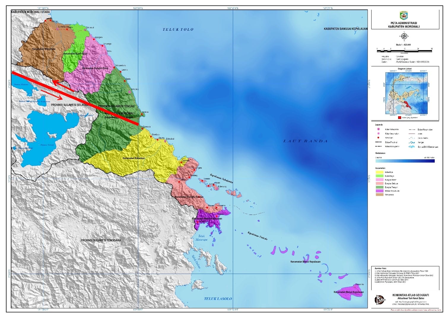
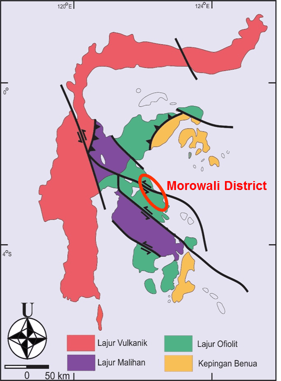
As part of the StIRRRD programme, staff from the Universitas Gadjah Mada (UGM) are working with Morowali BPBD and Action Plan partners to improve knowledge and raise awareness of the risk associated with the Matano Fault. This fault creates a significant hazard for Morowali, cutting right through the district and extending offshore (see figure below). BMKG, Indonesia’s earthquake monitoring agency, estimate that the Matano Fault can generate earthquakes up to around magnitude 7.3.
The Morowali DRR Action Plan, being led by the Morowali BPBD, includes a project to undertake more research on the Matano Fault and the fault’s associated risks. This information will inform planning and development in areas close to the fault and help inform future public education.
Map of Morowali District and the Matano Fault. Source: Universitas Gadjah Mada.
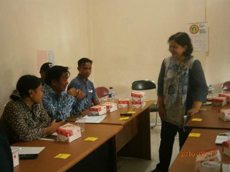
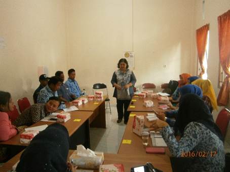
Bencana yang sama bisa membawa dampak yang berbeda bagi kelompok gender yang berbeda. FGD ini dilakukan pada hari Selasa, 18 Februari 2016 di Kantor BPBD Kabupaten Morowali. Kegiatan FGD ini tidak hanya melibatkan para perempuan akan tetapi juga para laki laki. Selain perwakilan dari beberapa lembaga pemerintah di Kabupaten Morowali, juga melibatkan perwakilan kelompok masyarakat yang berasal dari Karang Taruna, Majelis Mualimat dan NGO.
Kegiatan ini bertujuan untuk; 1) menjelajahi konteks lokal seperti konteks geografis dan konteks sosial (peran gender), 2) menjelajahi pemahaman masyarakat terhadap ancaman bencana di daerah mereka, 3) memetakan masalah dan kerentanan yang timbul ketika berhadapan dengan bahaya dan bencana, 4) relasi gender dalam kegiatan PRB, dan mengeksplorasi gagasan dari pemerintah, masyarakat dan para pihak yang terkait untuk perencanaan program PRB di masa mendatang.
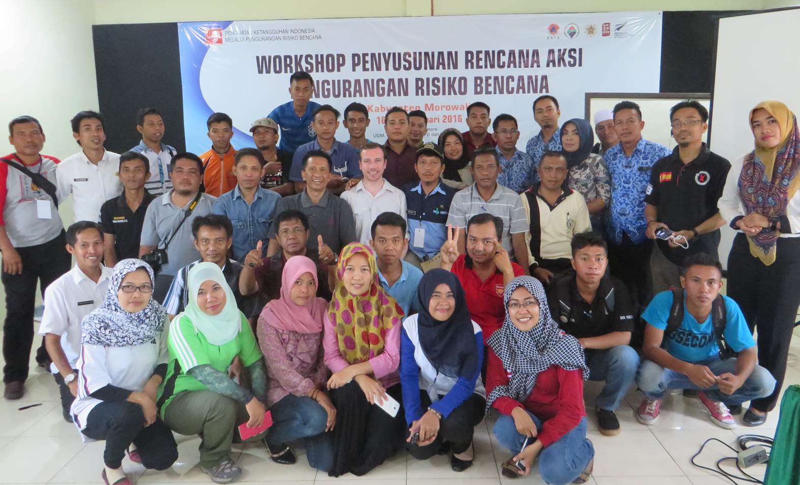
Held on 16 February, Morowali’s Action Plan workshop received positive feedback from local stakeholders and parliamentarians. Having experienced frequent flooding and coastal abrasion issues in recent years, local authorities have been concentrating reduction efforts on mitigating the impacts of these natural hazards, largely through physical works.
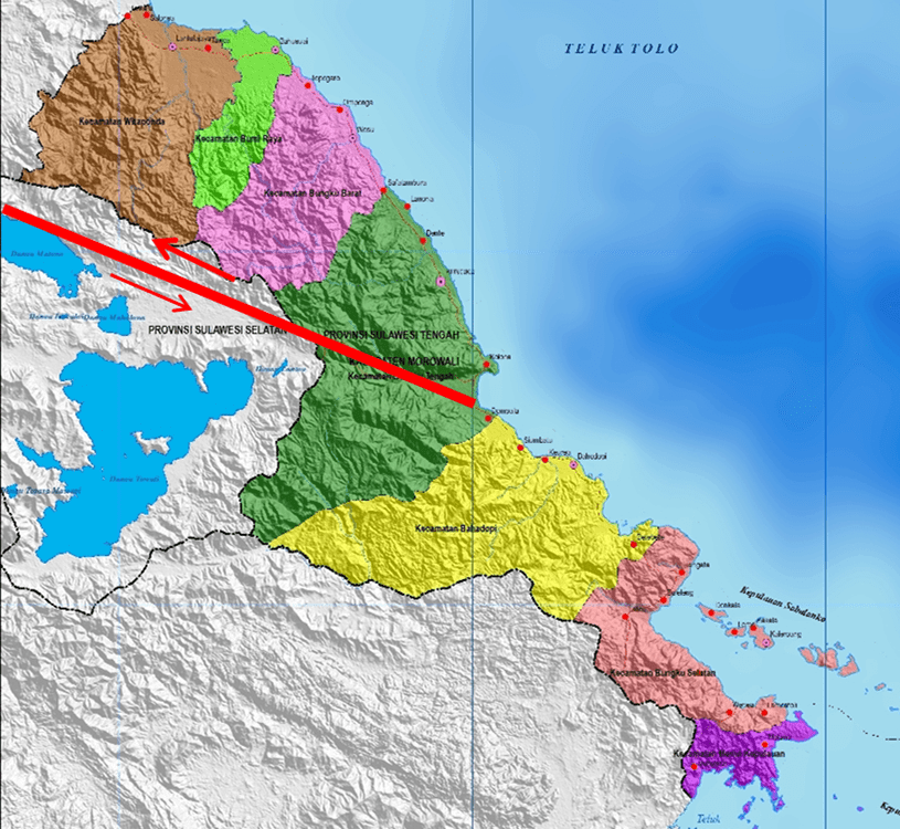
Morowali action plan workshop participants, 16-17 February 2016.Central Sulawesi, Indonesia showing locations of major active faults. Image: Dr Agung Setianto, UGM.
Morowali’s Vulnerability Profile
Working through Morowali’s vulnerability profile showed that while flooding and coastal abrasion are frequent occurrences, the threat of large earthquakes affecting the district is very high. Due to the presence of active faulting across Central Sulawesi and the specific location of some faults (see image), Morowali ranks in the top 40 out of 500 districts prone to earthquake activity across Indonesia.
Earthquakes: So what’s the risk Morowali?
In his presentation to workshop participants, Professor Iman Satyarno from UGM University, described the prevalence of the Matano Fault in central Morowali (see image). On 16 April 2012, a magnitude 5.8 earthquake occurred, located on or nearby this fault. The earthquake heavily damaged houses in two communities while also damaging Morowali’s government buildings. Two years later another earthquake occurred further to the east, causing less damage but still being felt across central Morowali. This recurrent activity is a reminder of the prevalent earthquake risk across the district.
Morowali District, Central Sulawesi showing the location of the active Matano Fault. Image: Dr Agung Setianto, UGM.
Earthquakes: What are the DRR options?
While large earthquakes are relatively infrequent in Morowali, compared to other natural hazards, their impact may be substantially larger than the combined impact of smaller events. This concept has been recognised by members of local government, the emergency management agency (BPBD) and other key stakeholders attending the workshop.
Morowali workshop participants discuss the district’s vulnerability profile. Photo: Richard Woods.
These members of the community are now considering many initiatives to reduce the risk from future earthquakes. Such initiatives include methods to strengthen existing buildings, socialisation of information on building earthquake resistant structures, microzonation of land in close proximity to active faults and regulations for future development and construction.
A Quick Win for Morowali and StIRRRD
Having a wide representation of stakeholders to consider disaster risk reduction initiatives is key to ensuring efforts are coordinated. On 17 February, the StIRRRD team visited the local parliament to raise awareness of the project’s focus on Morowali District and seek support for the community’s action plan going forward.
During this meeting, local parliamentarians (DPRD) raised concerns regarding Morowali’s earthquake risk, particularly in regard to the Matano Fault, which had only been located in the district after boundary changes in recent years. DPRD representatives attending the previous day’s workshops were able to convey the district’s vulnerability profile to decision makers within a matter of hours. As a result, Morowali is now considering implementing earthquake resistant regulations and micro-zonation of properties in close proximity to the Matano Fault.
A great result for Morowali District and StIRRRD team from their short visit! The StIRRRD team will return to Morowali later in 2016 to provide feedback on the district’s risk reduction action plan.
Strengthened Indonesian Resilience – Reducing Risk from Disasters
[EN] We use cookies to help our viewer get the best experience on our website.
--
[ID] Kami menggunakan cookie untuk membantu pengunjung kami mendapatkan pengalaman terbaik di situs web kami.I Agree / Saya Setuju