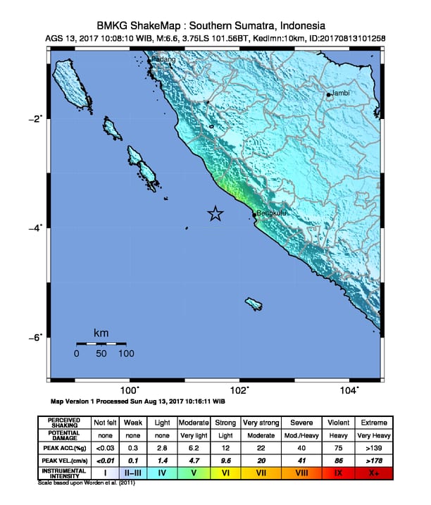
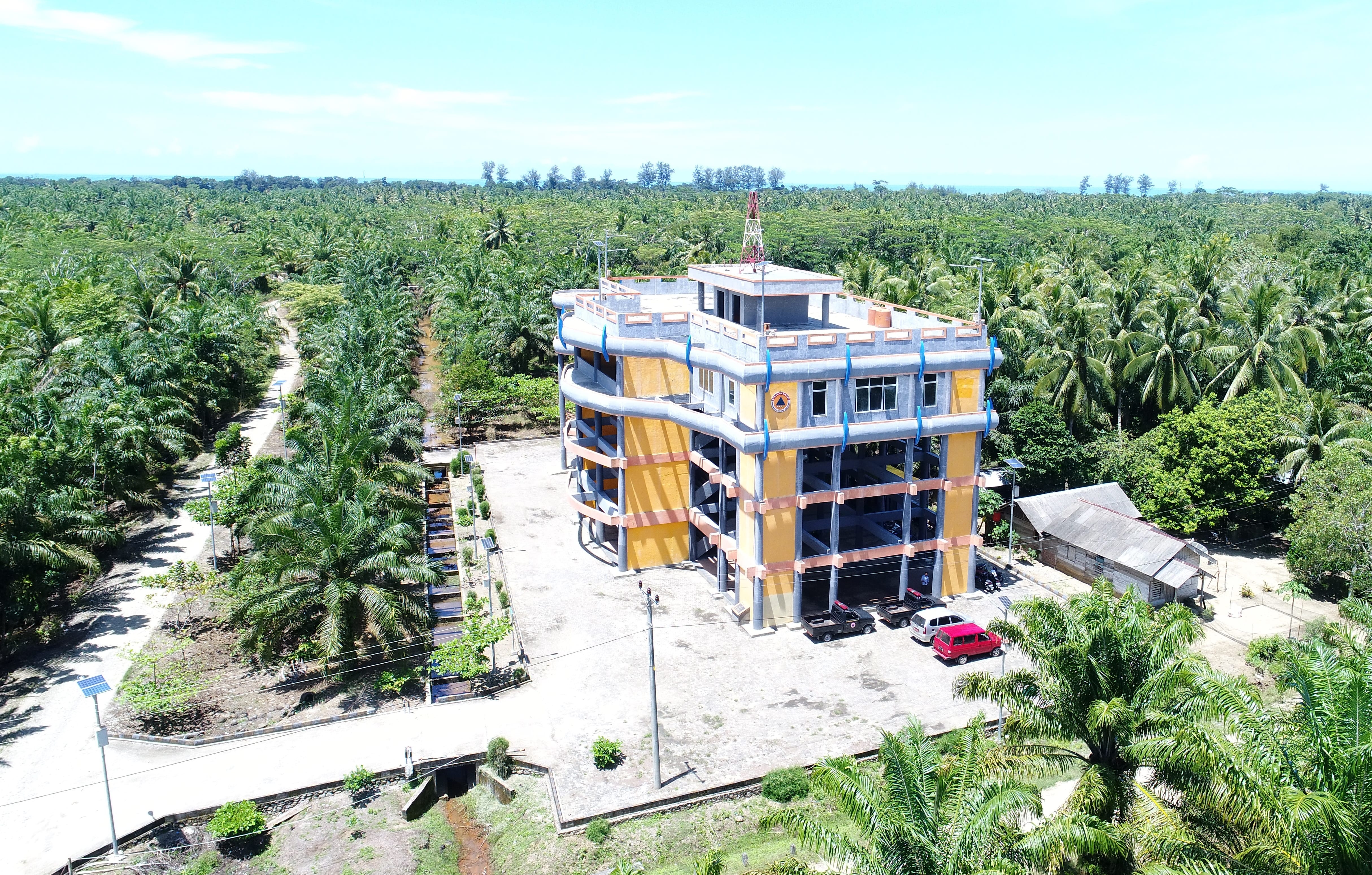
The StIRRRD team was in Rawa Indah, Seluma, Bengkulu Province to initiate a tsunami awareness community project. Rawa Indah is a village of about 2500 people located on the broad coastal plain of Seluma and is at risk from tsunami, with no nearby high ground suitable for evacuation. In 2014, BNPB (the National Emergency Management Agency), with the assistance of international development aid and the National Public Works, built a 16-m high tsunami shelter near the village. Responsibility for the shelter has only recently been passed to the local emergency management agency, Seluma BPBD. Little or no work to improve community awareness of tsunami hazard, possible natural warnings or the function of the shelter has been undertaken, and the Seluma BPBD do not have the capacity to maintain the shelter or carry out extensive consultation. As a result, the condition of the shelter has deteriorated.
This initial visit (27 Feb – 1 Mar 2018) of the StIRRRD team was to get to know the people, gain an understanding of their current level of tsunami awareness, and help them to understand the risk associated with this significant hazard.
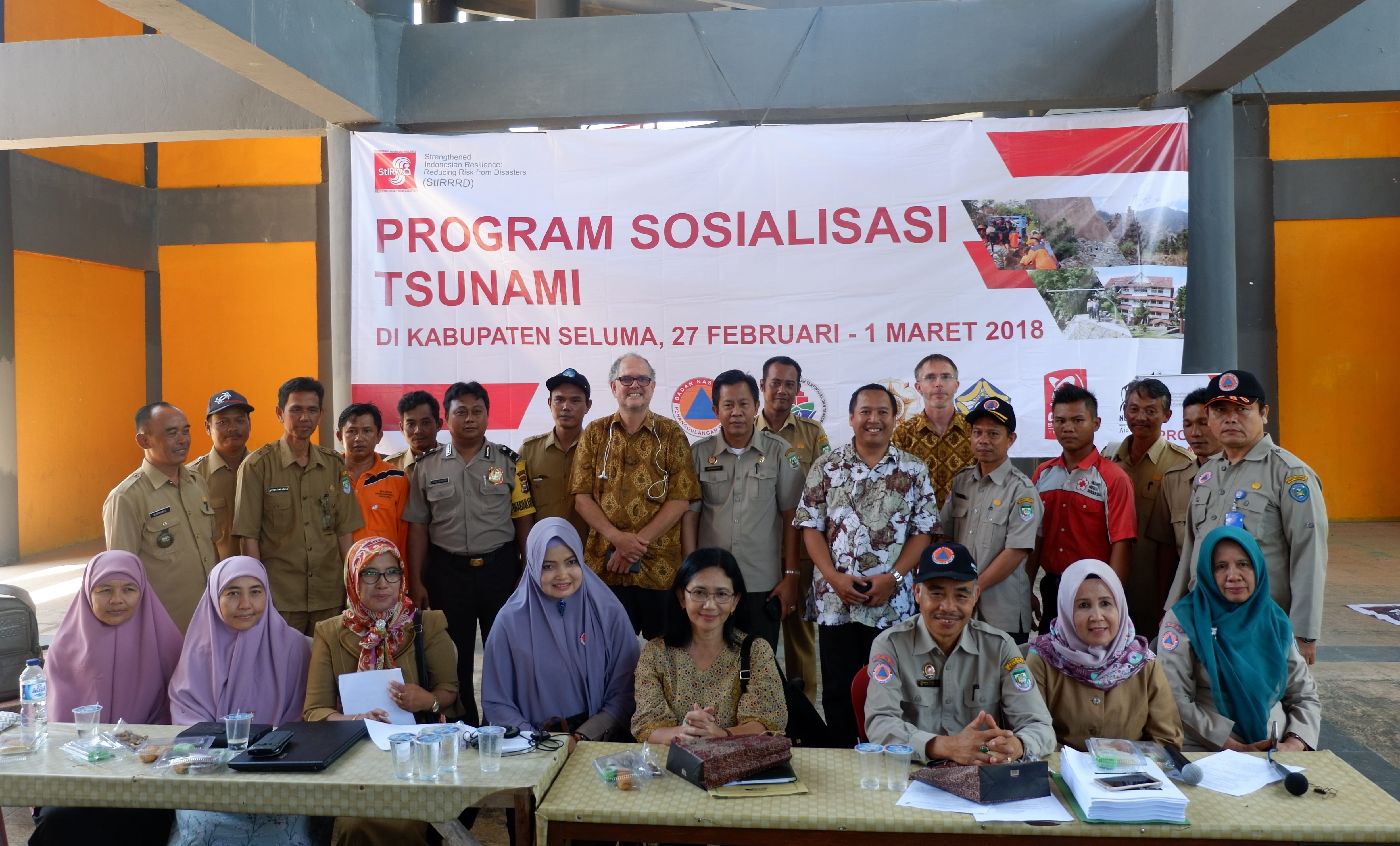
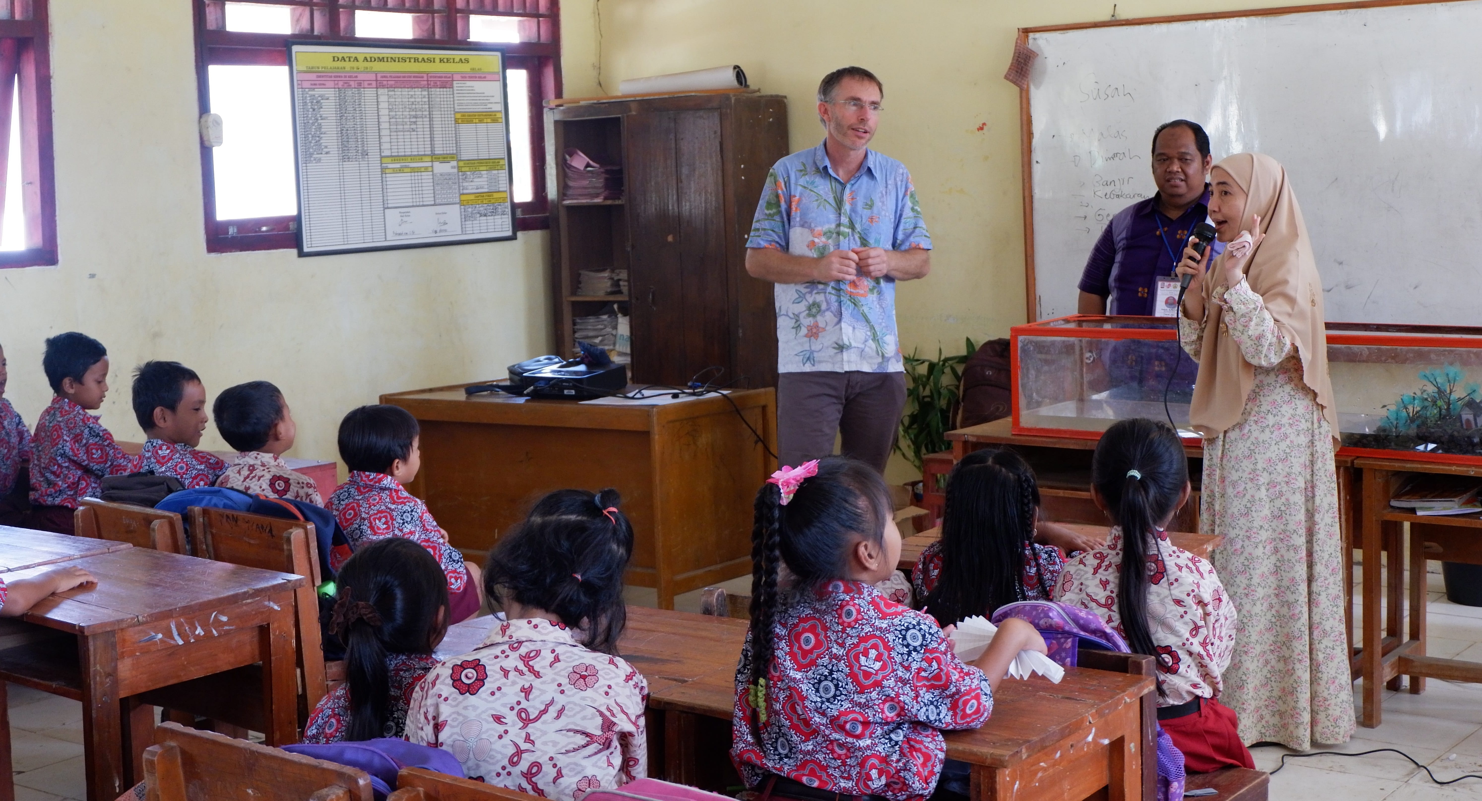
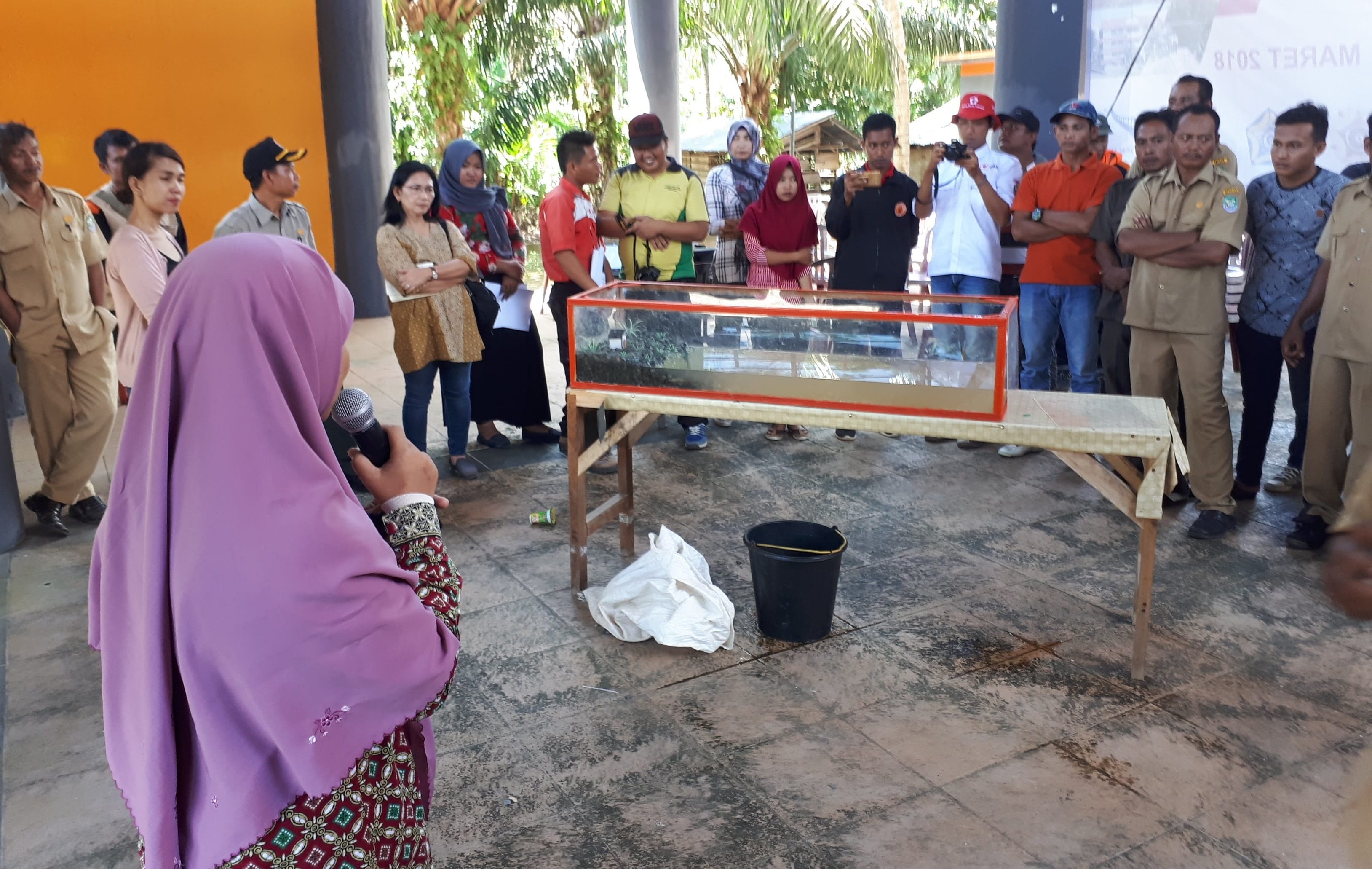
Ultimately, the community will develop their own evacuation plan and develop ongoing tsunami awareness centred around better use of the tsunami shelter for village activities. Students from the UNIB (University of Bengkulu) undertook a survey with more than 100 residents, to gauge tsunami awareness and preparedness. With the help of the local Red Cross (PMI), BPBD and UNIB, the team spent a day in the local school discussing hazards, tsunami, preparedness and action with 300 school children as well with the teachers. UNIB also built, and bought with them, a tsunami wave model tank which demonstrates tsunami formation and potential impacts.

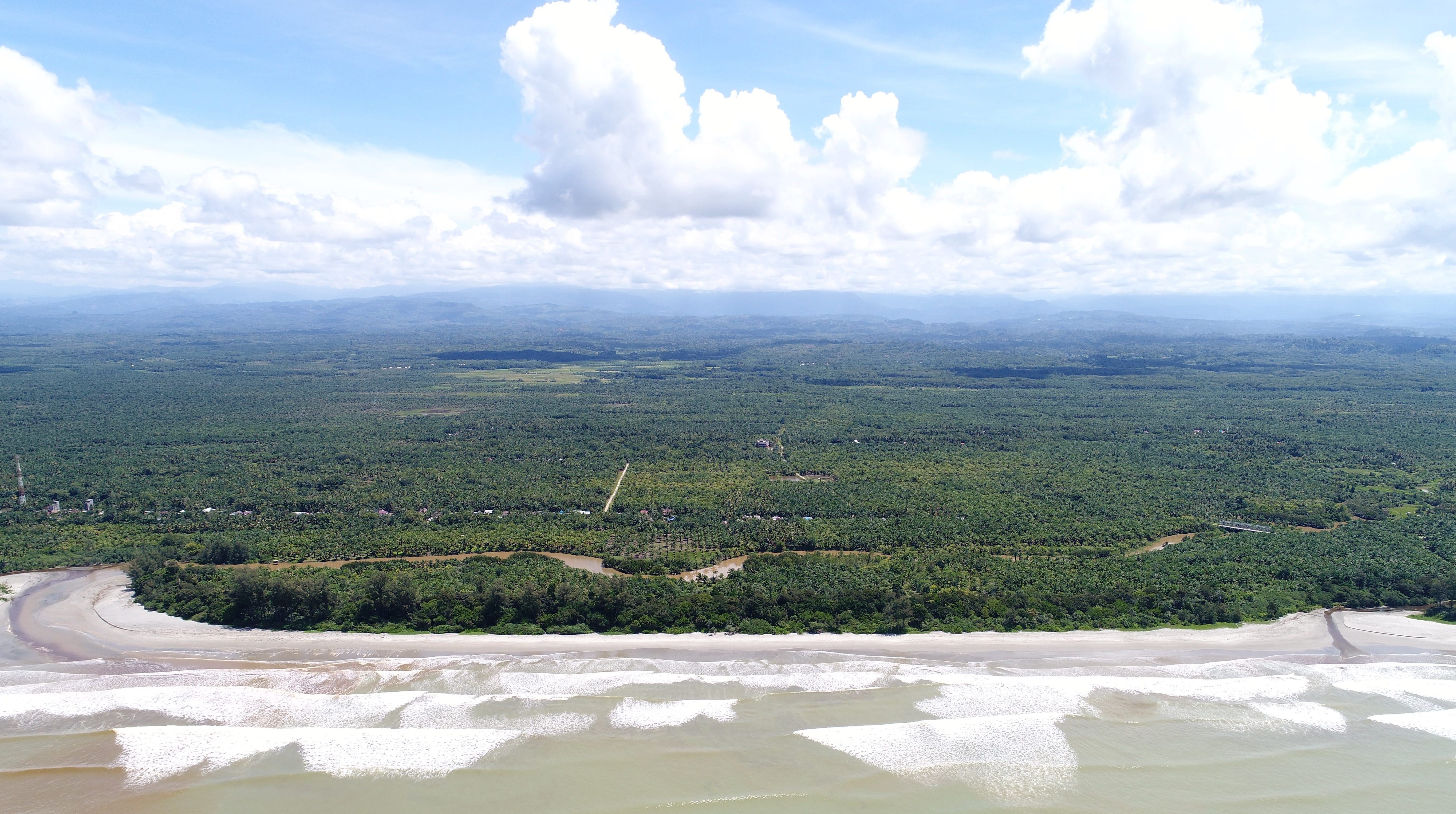
University Gadjah Mada (UGM) flew an aerial survey and took video of the village surrounds.
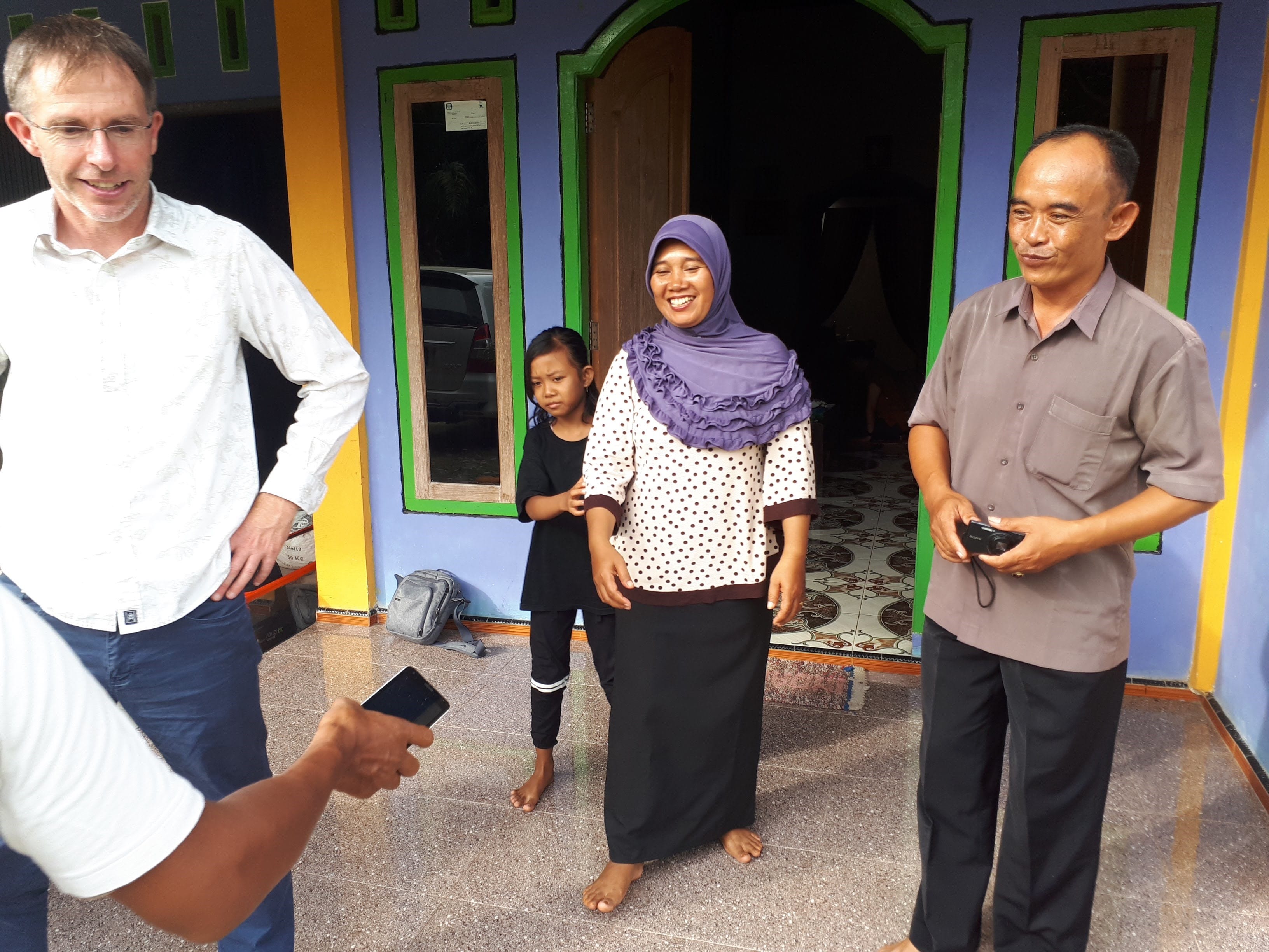
A good relationship has been established with the head of the village Pak Rubimanto, and he and his family, and the villagers generously hosted members of the team for 3 nights. Village leaders are extremely keen to be involved and want to utilise the shelter as best they can, and instigate other awareness and preparedness initiatives that the StIRRRD team will help facilitate.
It is intended that nearby villages with a similar risk from tsunami will also benefit from this project, as it will provide a template for the development of other evacuation plans. By working closely with BPBD and PMI, it is anticipated that the capacity of these agencies to assist other villages will improve.
Phase 2 of the engagement in April 2018 will involve some workshops and meetings with key village groups and responsible agencies and continued engagement with the school. It is also planned to hold an information drop-in session in the tsunami shelter on a Saturday, where the draft tsunami plan can be discussed, followed by a movie night. The third phase, later in the year will include a whole of village evacuation simulation and a repeat questionnaire survey.


