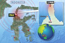
Palu and Donggala are both StIRRRD districts and the StIRRRD team have been working in these areas over the past 7 years. We have many colleagues and friends in the community and we wait anxiously for news of how they are.
The team were last in Palu and Donggala in March 2018, installing seismometers in 3 schools in the area plus one at the university. The seismometers are intended as an educational tool to help the students understand the seismology of the area and to stimulate discussions about earthquakes and tsunami; their causes, hazard mitigation, preparedness and response actions. Students learned the importance of natural warnings for tsunami, and how to Drop, Cover and Hold. We hope these discussions in March were able to help those teachers and students with their actions in this event.
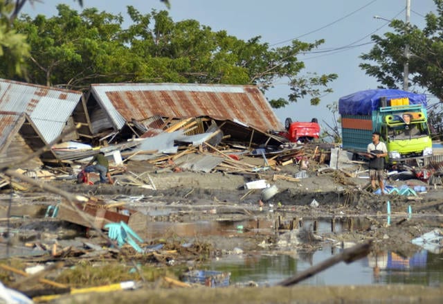
The current death toll has exceeded 840 and is expected to rise sharply over the coming days and weeks, leaving the StIRRRD team deeply concerned for our friends and colleagues who we’ve not been able to contact. In addition to the death toll, an estimated 2.4M people have been affected, with six hundred people hospitalised and 48,000 people displaced. The isolation of affected communities and the scarcity of resources is making response efforts difficult.
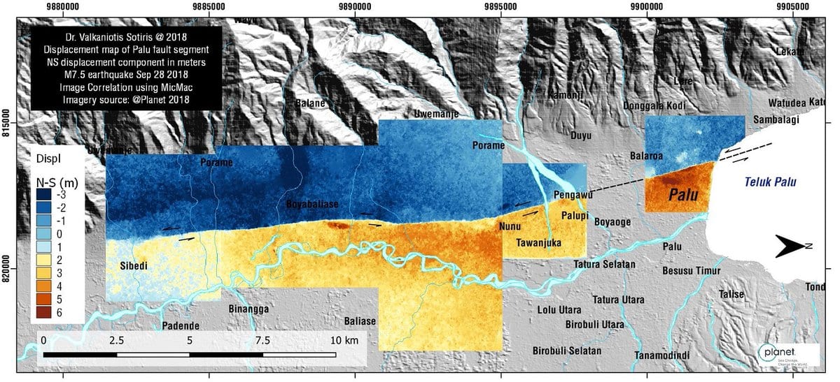
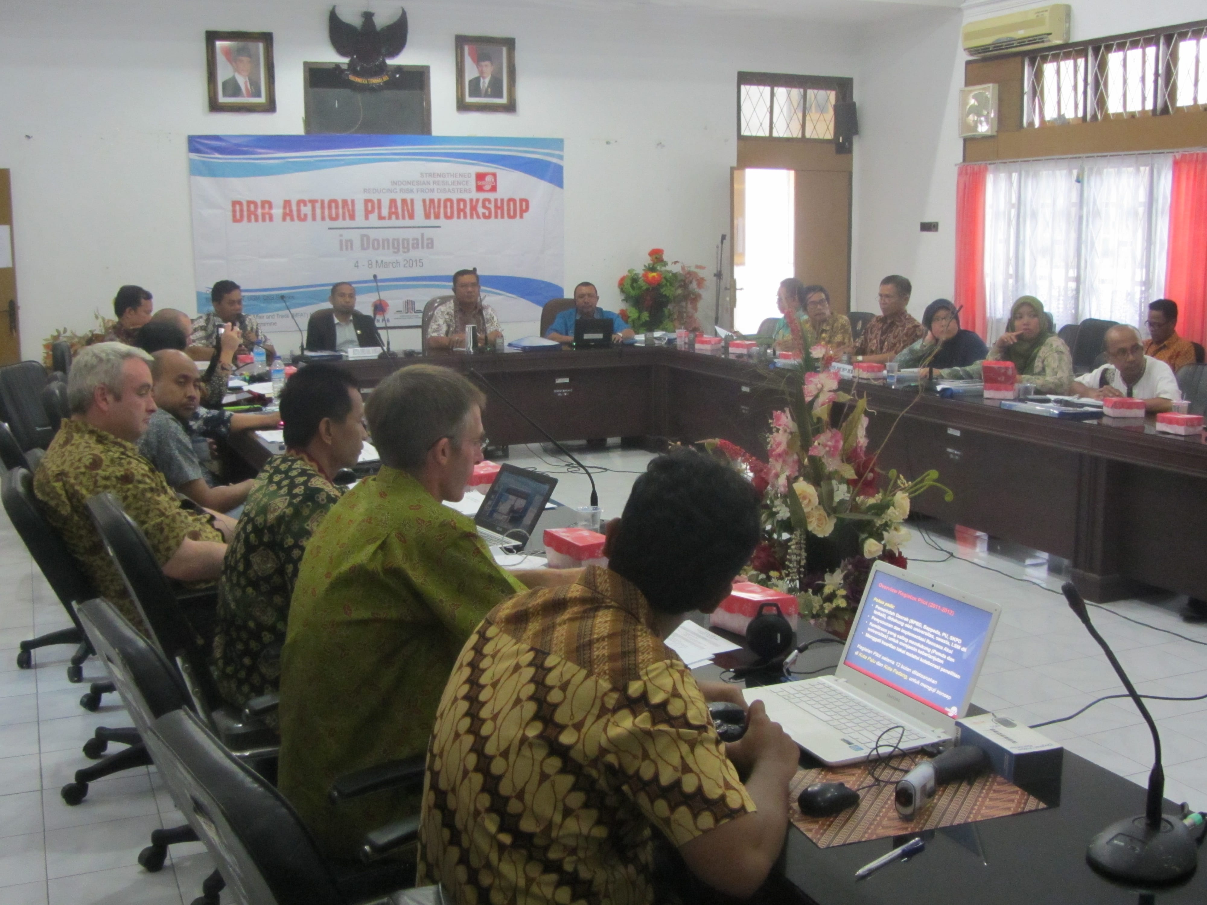
Palu and Donggala have been working towards the implementation of Risk Reduction Action Plans – a set of actions inspired by NZ and Indonesia working and learning together. Since they have been introduced, they have resulted in a number of enhancements: expansion of earth sciences and risk modeling at Tadulako University, a new public education programme, micro-zonation studies in Palu, increased budget for risk reduction, the establishment of a spatial mapping capability in the planning department and a collaborative research and awareness raising programme into the Palu-Koru Fault (http://voinews.id/index.php/component/k2/item/2109-palu-koro-expedition-unveils-the-great-earthquake-potential-in-central-sulawesi ).
Tadulako University was also about to host its first international conference on Urban Disaster Resilience in November 2018: (http://fatek.untad.ac.id/icudr/)
It’s still early days, and building resilience requires a sustained effort over generations. This combined earthquake and tsunami event has been devastating. This has always been possible in this part of the world but it’s not what you ever anticipate will actually happen. This will set Palu and Donggala back, but it has redoubled our resolve to work with our friends and colleagues there to look to the future and ensure risk reduction is built into the recovery process.