Category Archives: Uncategorized
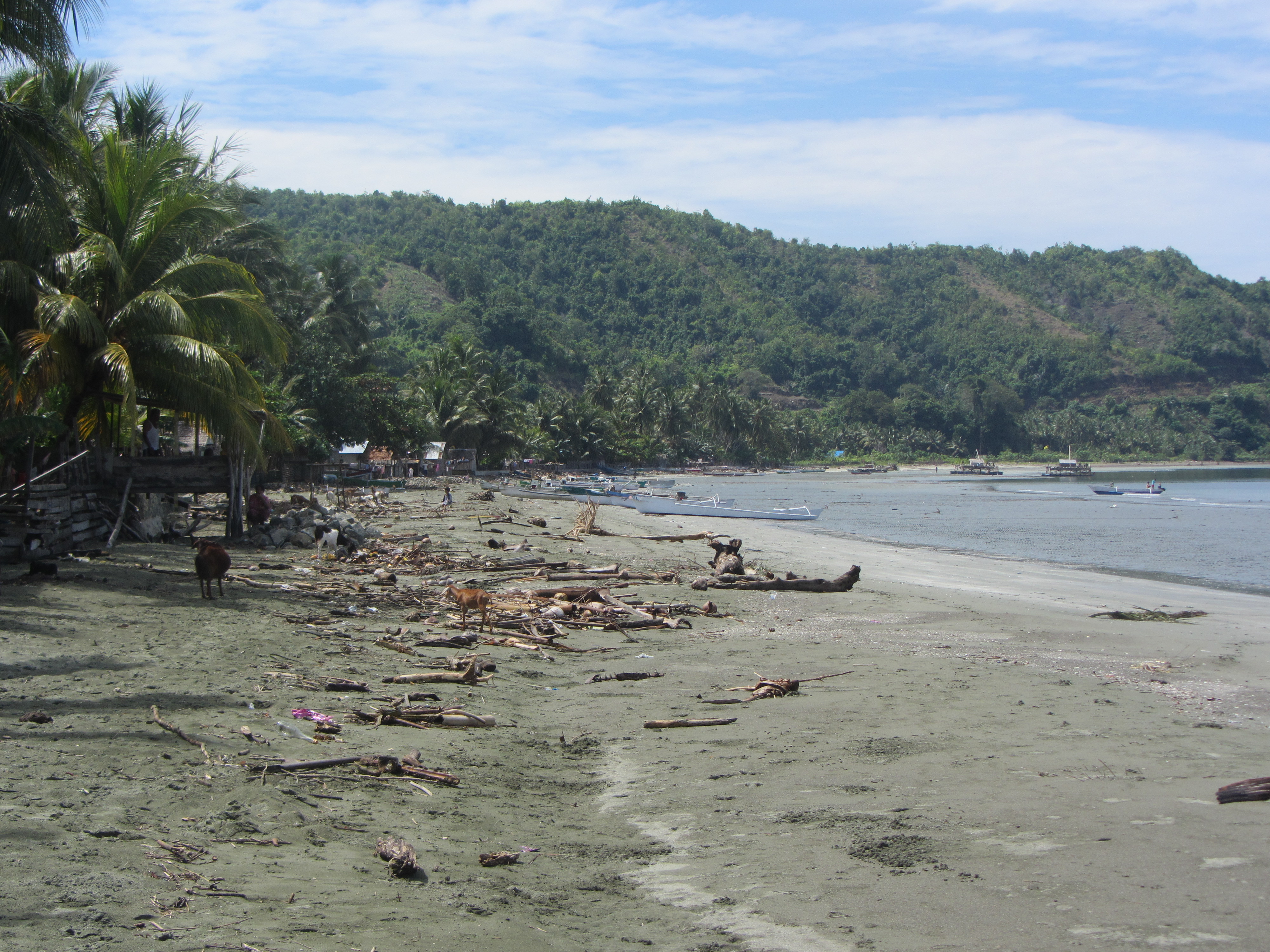
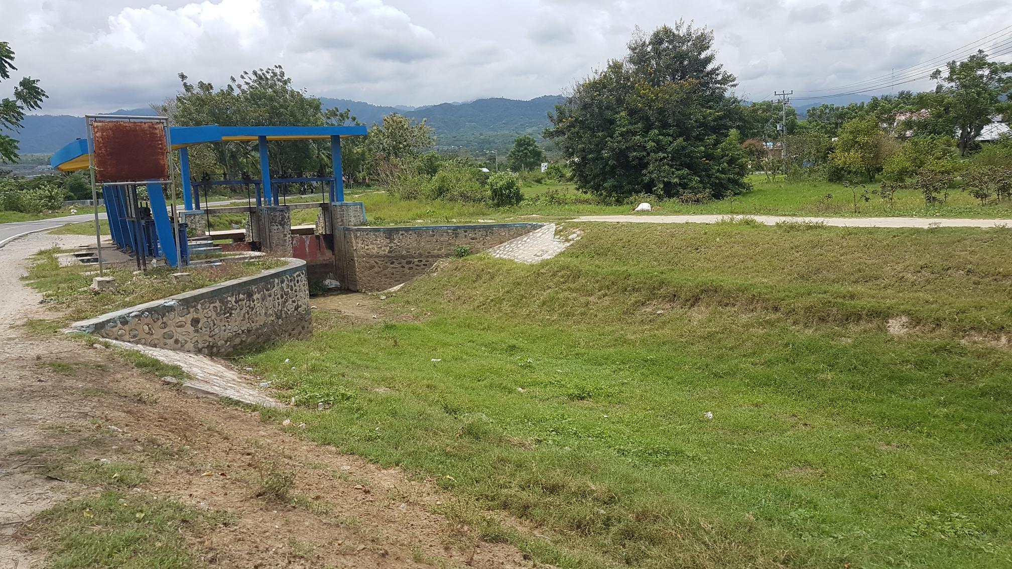
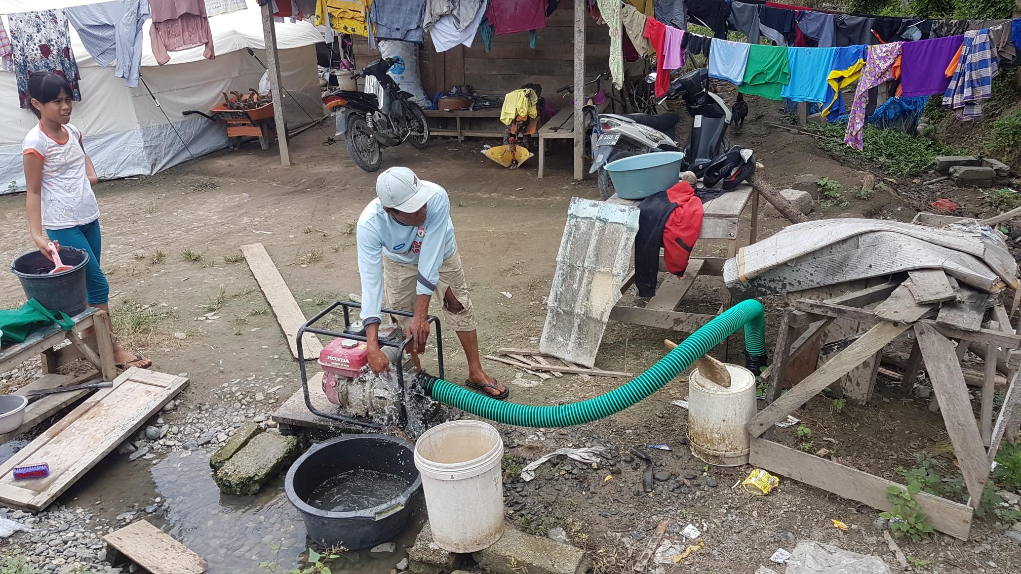
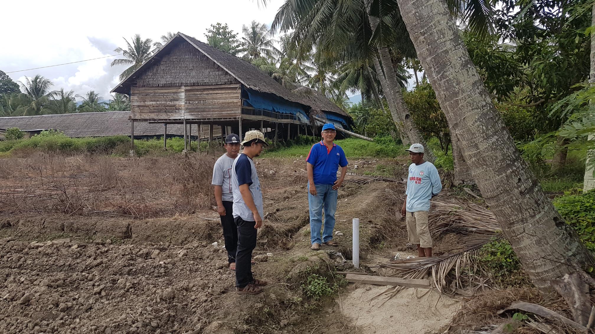
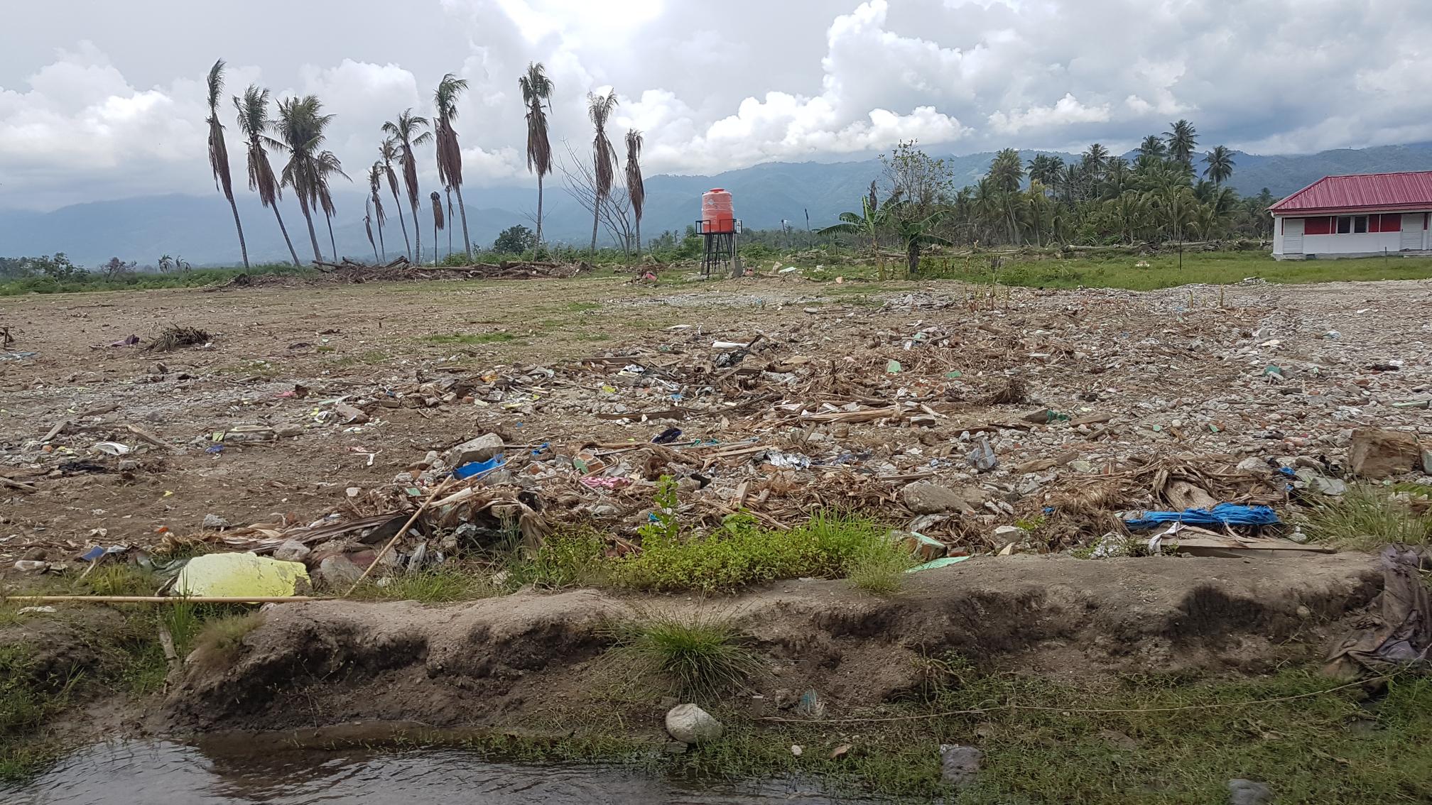
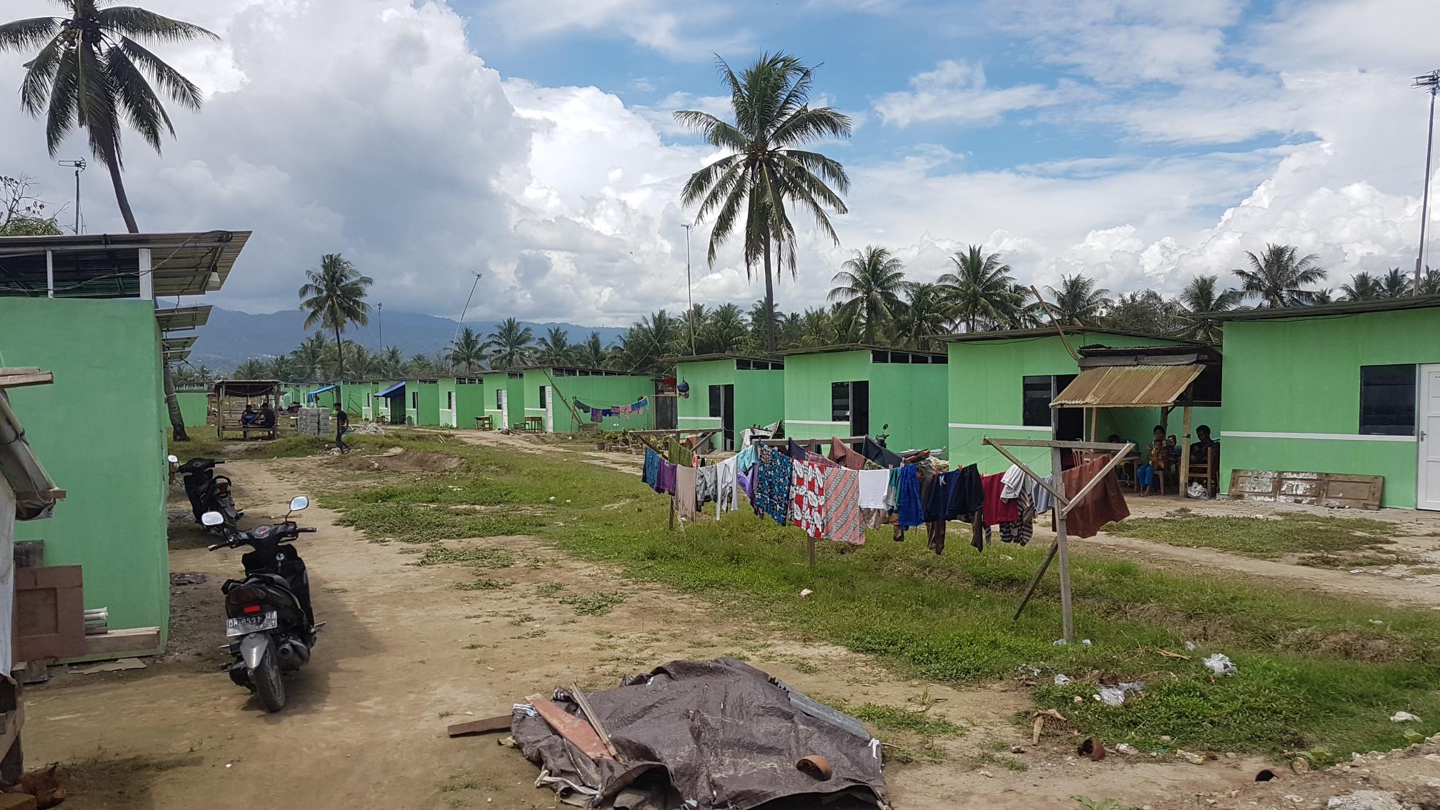
Damage in sigi district

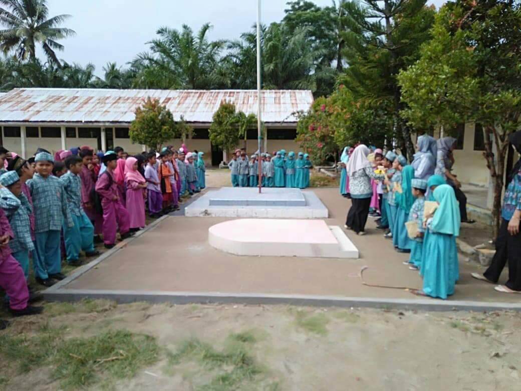
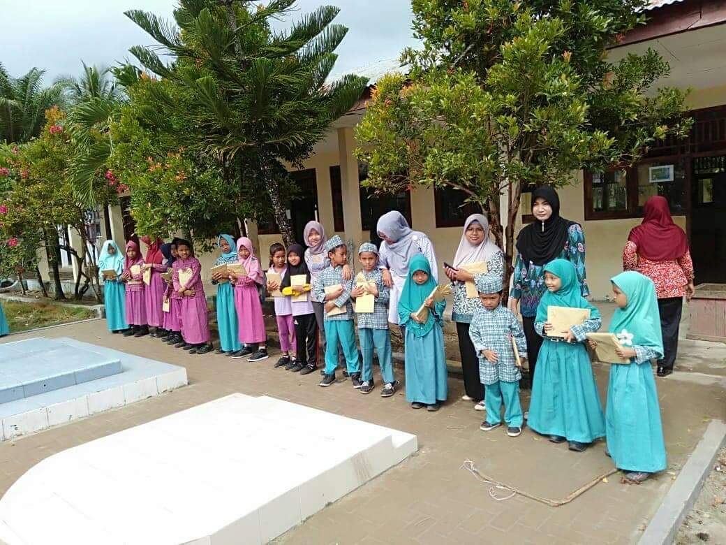
Rawa Indah Village School
 |
 |
New Zealand-Indonesia Palu Tsunami Survey Team
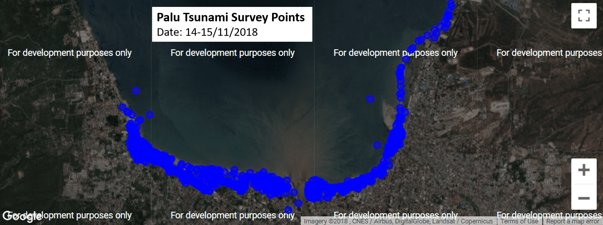

New Zealand-Indonesia Palu Tsunami Survey Team
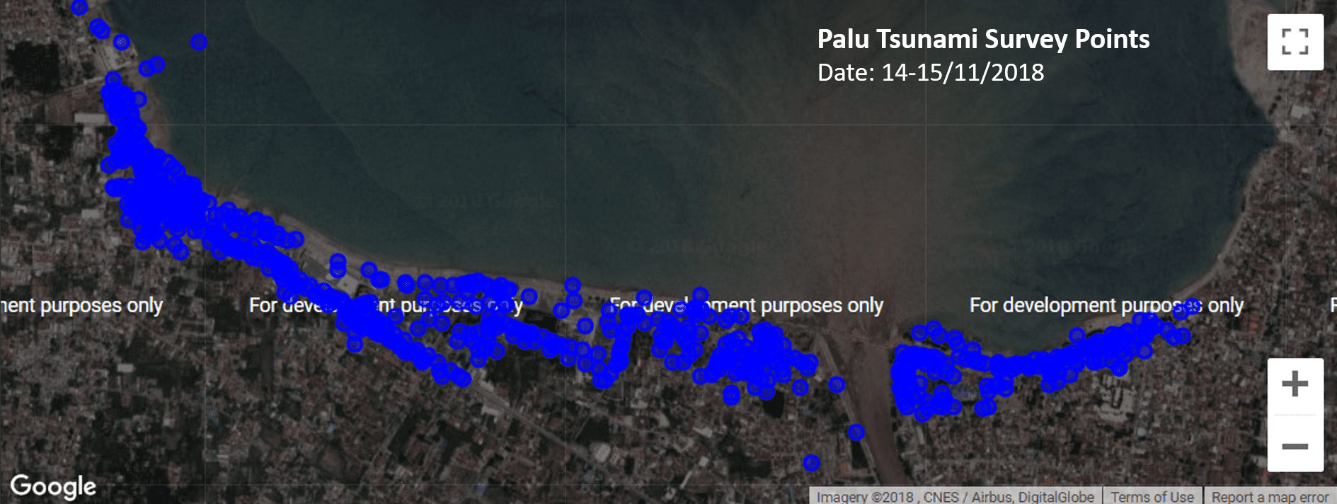
New Zealand-Indonesia Palu Tsunami Survey Team

Concluding the Tsunami Safe Community Project in Rawa Indah, Seluma
Written by Elizabeth Garlick, Michael Goldsmith & Phil Glassey
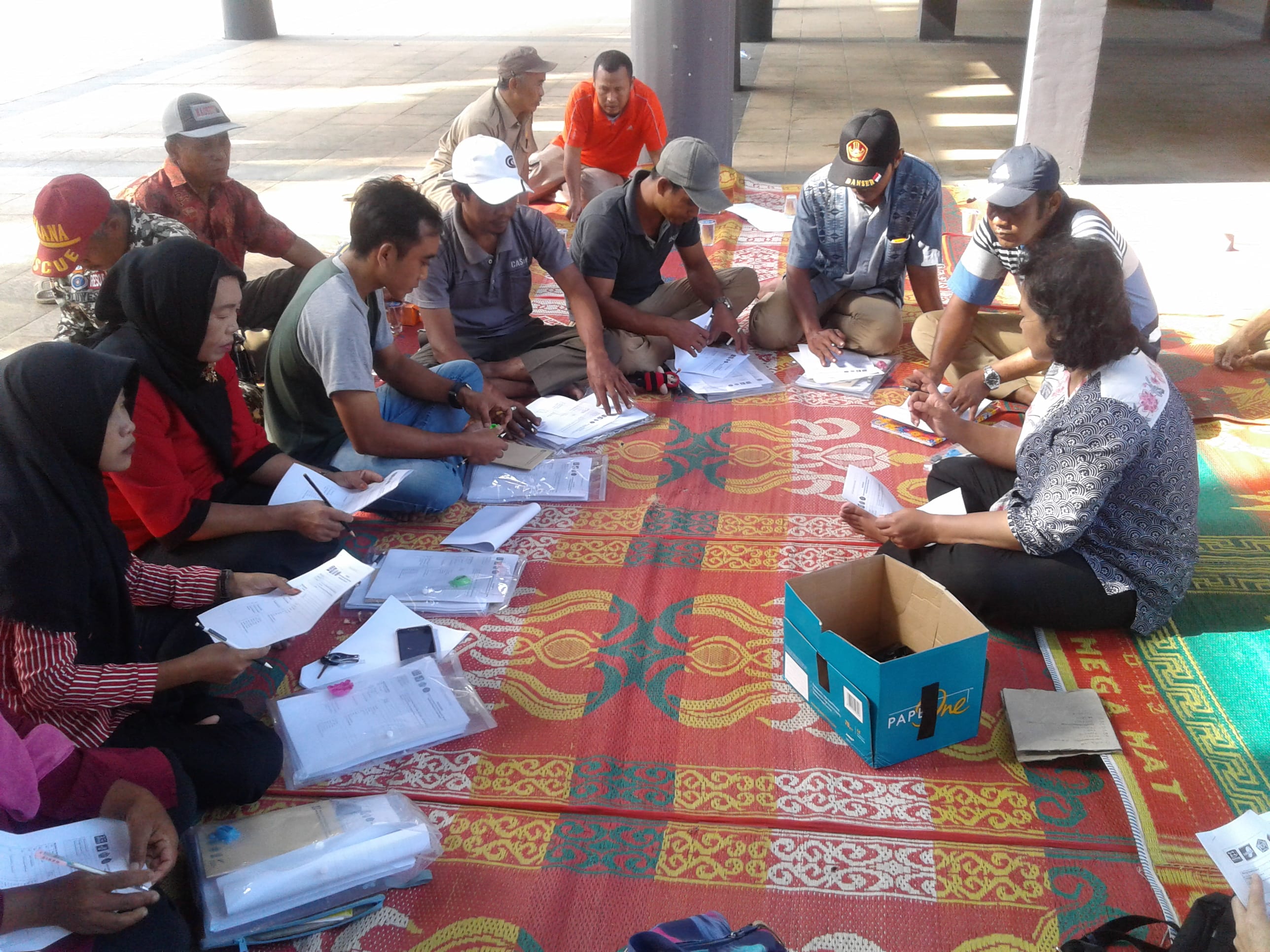
Following our previous two visits, the StIRRRD team were again in Rawa Indah, Indonesia in July 2018 to build on the work they’ve already undertaken in developing a Tsunami Safe Community Action Plan with locals. This visit was focussed on facilitating a village-wide tsunami evacuation simulation. It involved working with village leaders, local schools, community groups and the district Disaster Management Agency (BPBD) to finalise the arrangements for the evacuation; as well as measure and observe the evacuation itself to get a better understanding of how the locals responded. The team was once again assisted by its experienced project partners – The University of Bengkulu (UNIB), Indonesian Red Cross (PMI) and the National Board for Disaster Management (BPBD). The team was once again assisted by its experienced project partners – The University of Bengkulu (UNIB), Indonesian Red Cross (PMI) and the National Board for Disaster Management (BPBD).

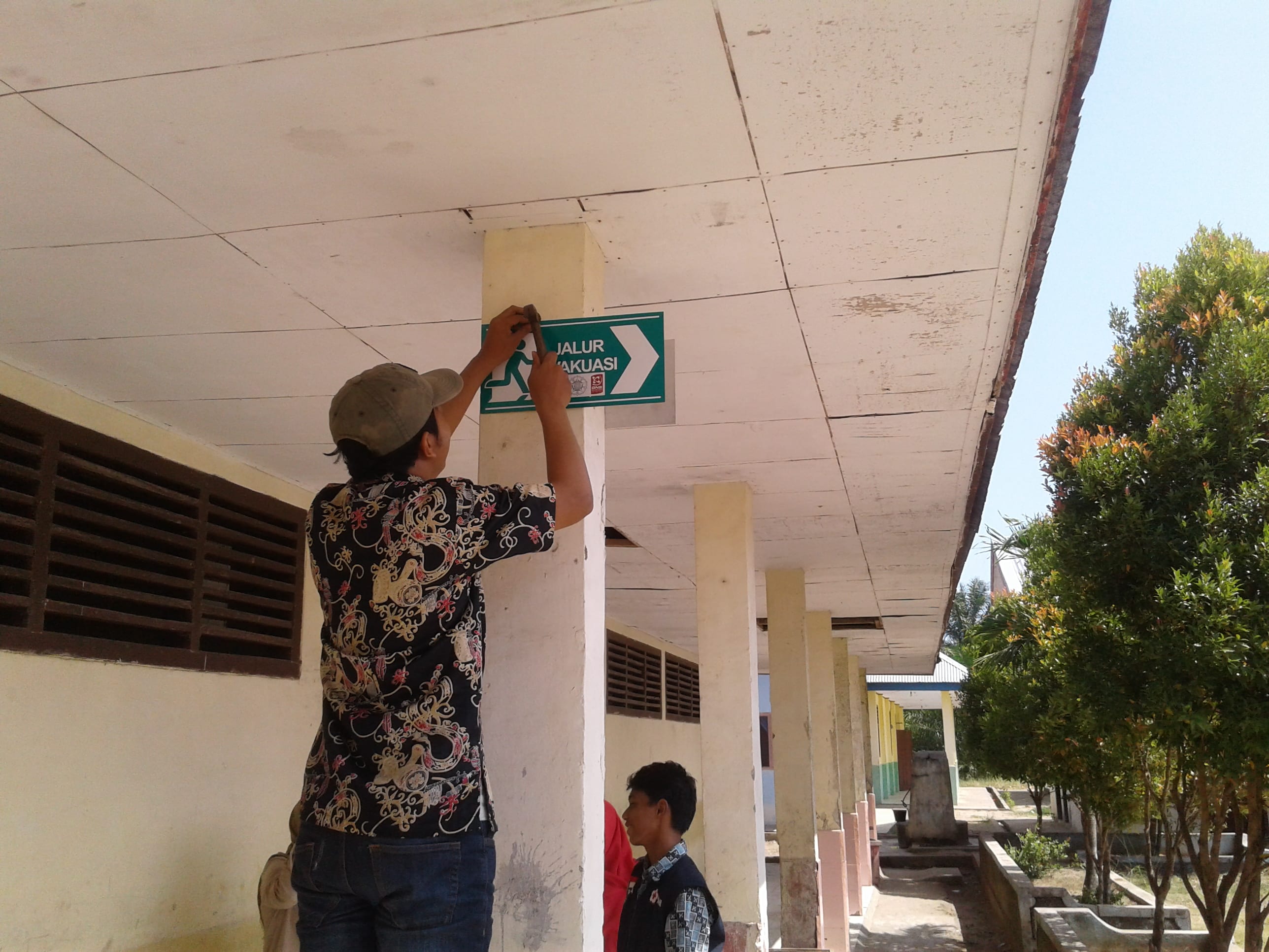
The day before the simulation we visited Rawa Indah school to hand over the resources developed with them during previous visits. These included framed tsunami evacuation posters for each class, signs for the assembly area, evacuation signs and a large information poster to be displayed in a high-traffic area by the school gate. These resources were much-needed and attracted the attention of many students who were eager to learn tsunami safety information. While at the school, we made final plans for the simulation and encouraged the principal to let all classes participate, even new entrants. Children that know about tsunami hazard and response will go home and educate their families, which in turn leads to safer communities.

The simulation worked well, with around 240 people from the village making their way to the tsunami shelter – 177 of these people were children – with most people arriving by motor-scooter. The simulation started at 9.04 am and most people had arrived at the shelter by 9.30 am. After everyone had gathered, local agencies kept the children engaged with hazard education including songs. PMI distributed food packages and we gave away a ‘grab and go’ emergency bag from New Zealand.
We worked with local agencies to debrief after the simulation and created some action points for improvement. Most people heard a warning, either the siren or kentongan (traditional wooden instrument that makes a noise when struck), which was a great start. The kentongan is robust and reliable and has been used for centuries by locals to warn of threats. It was noted that multiple sources of warnings should be used though, and it was noted that BPBD hope to install a system which can provide official warnings directly to the village in the near future.

Training workshop with local volunteers, to finalise arrangements for the tsunami simulation
After the simulation, we initiated some actions that will have an impact on how ready the community will be in the event of a tsunami. Another positive outcome from this project is that the school has agreed to run the simulation at the start of every school year to keep the information fresh in the children’s minds. The schoolchildren also picked up the evacuation information quickly due to being familiar with the shelter and from the songs previously learnt.
Also, during the week, we undertook a repeat survey about tsunami hazard and response. The survey will give an insight into the effectiveness of our community education programme as well as highlight issues.
In addition to the Community Project work, the team met with BPBD leaders in Seluma District and also in nearby Bengkulu City, to get an update on the DRR activities they have implemented recently, or are planning in the coming year. Both agencies are making good progress, and are building on the original DRR Action Plans they developed as part of the StIRRRD project. Highlights include:
- Bengkulu BPBD working with the private sector to formalise access to buildings near the coast, so they can be used in the event of a tsunami warning.
- Bengkulu BPBD participating in a large-scale Pacific Partnership Exercise that coordinated a field response to many emergency simulation situations including devastating earthquakes. They were proud of their involvement in this and it has given them further confidence in their response capabilities.
- Bengkulu BPBD are hoping to erect a building using sound construction techniques, that would become an example of sturdy design for locals to adopt themselves. The building could also be used as a station for disaster risk reduction training. The StIRRRD team offered help to gain some additional funding for this project.
- Seluma BPBD have a number of projects underway. These include adding to their early warning system network, evacuation simulations, and facilitating additional ‘disaster resilient village’ programs.
In addition, some of our team attended a workshop about the Safe Schools programme in Seluma. A short presentation was given regarding the simple-action messages used in New Zealand, such as “drop, cover, hold” and “long or strong, get gone” as well as the emergency ‘go bag’ concept. Some of our insights and experiences of the Rawa Indah School evacuation simulation were also shared.
The StIRRRD team have returned to New Zealand with several action points to work on to keep the progress moving along in Rawa Indah. The team is happy with the progress made by local agencies and the community throughout the project, and especially with how well the schoolchildren responded to the evacuation simulation. Thanks to everyone who generously hosted the team during the 3 project visits, and to the local volunteers who gave up their time for an important community cause.
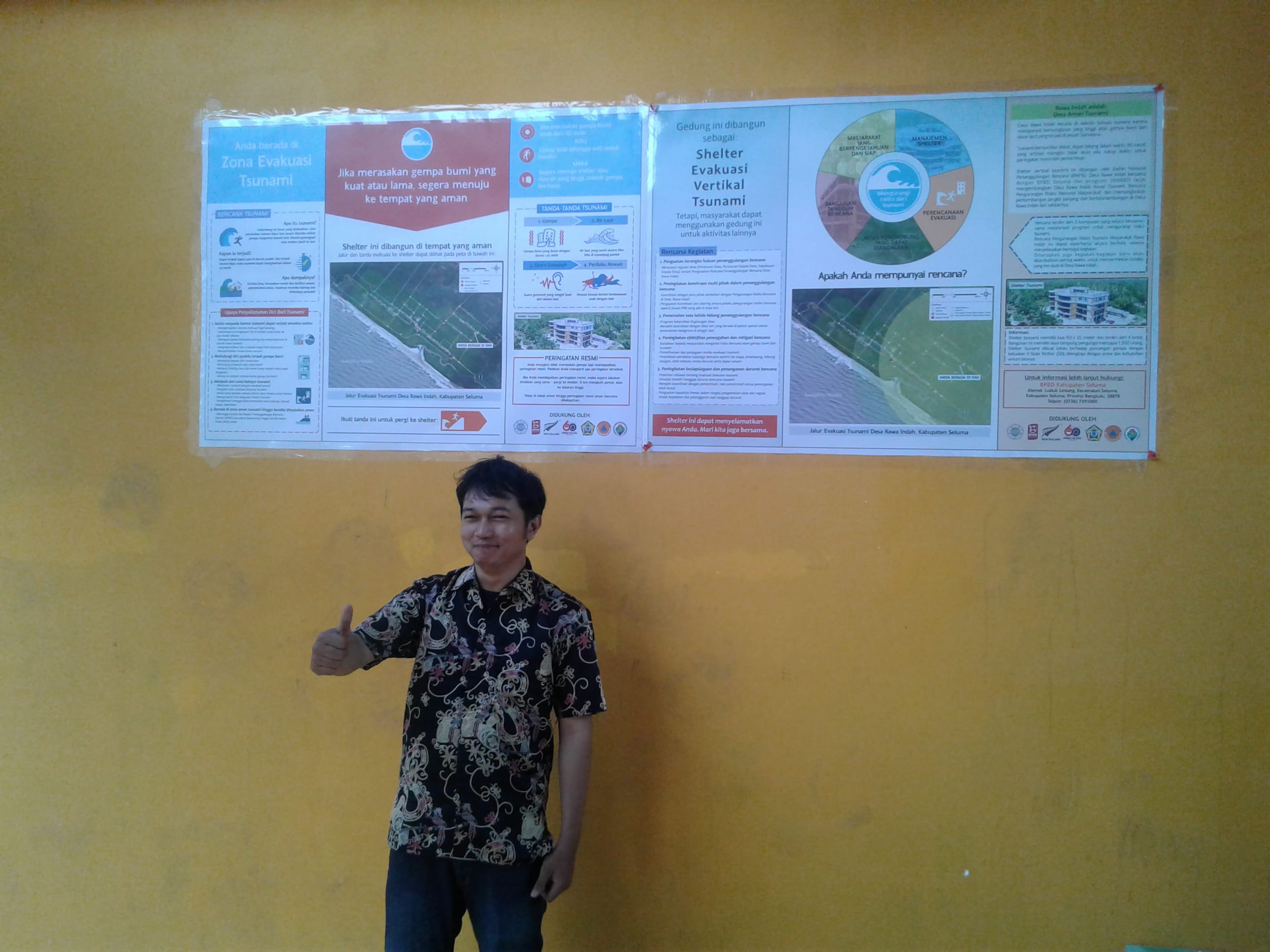
Tsunami information boards at the shelter
Coaching & Mentoring – West Sumatra
As part of the StIRRRD teams ongoing monitoring and coaching role, we visited all of the districts in the project to gauge their respective progress and where possible, provide some support and advice for building on the initial success of the program.
Following on from a successful visit to Seluma and Bengkulu City in Bengkulu Province, the StIRRRD team travelled to West Sumatra to meet with BPBD in Agam, Padang, and Pesisir Selatan. There, we discussed the progress of the BPBD-led DRR actions plans, as the project moves from phase 1 (plan development and training) to phase 2 (implementation and monitoring). In both Agam and Pesisir Selatan, we presented the district heads with a certificate and a small NZ-themed gift. We checked in with the BPBD in Padang to see how they were progressing as they were one of the pilot districts. The team also met the district parliaments to discuss on-going support of the DRR measures initiated mainly by BPBD.
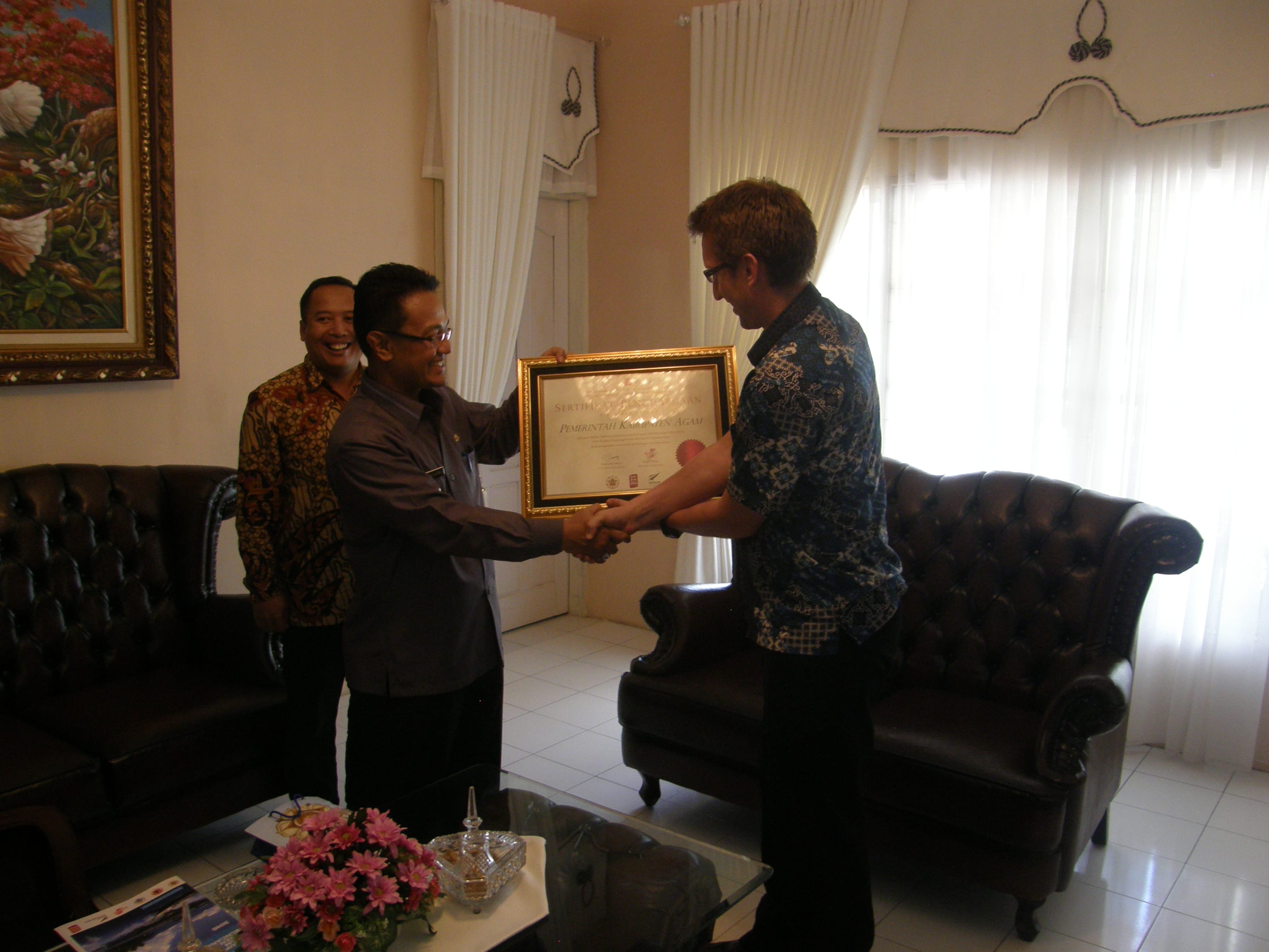
In Agam we met with members of the district parliament to discuss how the program has progressed, and the success they have had so far. We then met with the regency head (Bupati) who has been a vocal supporter of BPBD Agam’s efforts in raising the understanding of DRR in schools and communities. He even has a music video to raise awareness of DRR. The commitment to the project allowed us to present the Bupati with a certificate to recognise the progress made in Agam towards increased resilience to disasters.
The staff at BPBD Agam are very effective at developing programs and involving other stakeholders in DRR activities. Combined with the government support, there is great hope that Agam will continue to excel and be used as a successful case study for other districts to learn from.
A visit to the Tiku sub-district allowed us to talk with the KSB (Community Disaster Group) about their preparedness plans. They have a special focus on tsunami due to their close proximity to the coastline and they were able to show that they were reasonably well prepared. This has taken a lot of coordination with many government departments and NGO’s (especially Jemari Sakato) under the leadership of the BPBD. It was also here that we learnt from the district BPBD that there was more money allocated in the budget for preparedness than for response, which means that the message of DRR is getting through.
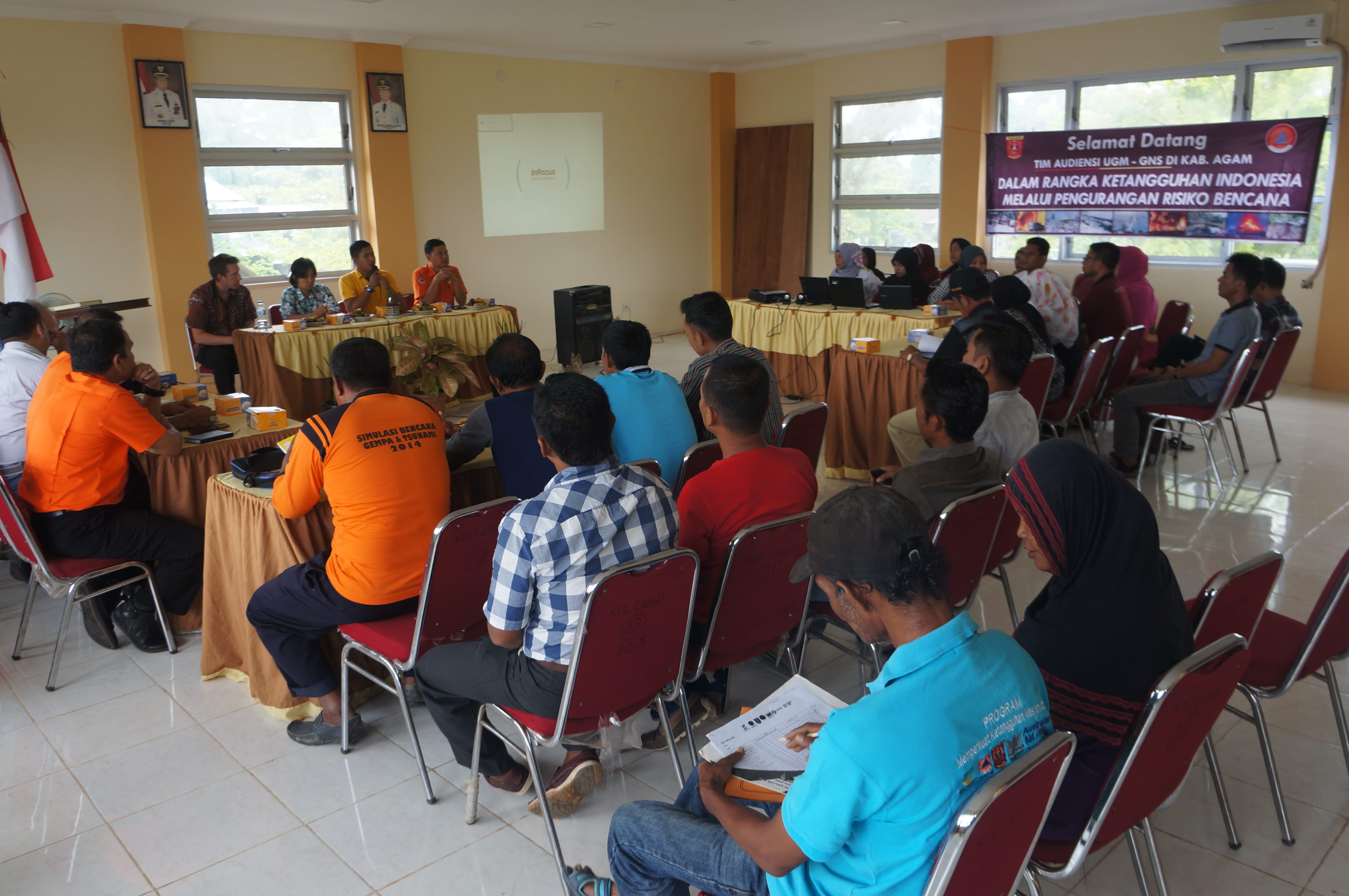
We travelled a short distance back to Padang to check the progress of Kota Padang and see some old friends from the early part of the project. We first met with the BPBD Province, who take a more regional view of the issues that cut across the districts. They are involved in a number of initiatives that involve key stakeholders and NGO’s. They were very supportive of the StIRRRD program and hoped that we could assist with other districts in the province. We believe that the lessons learnt by districts within the program could be very useful for other districts as they start the long process of DRR. We then had a very useful meeting with Kota Padang BPBD who updated us on their progress and the many programs involving schools, local community groups and media outlets.
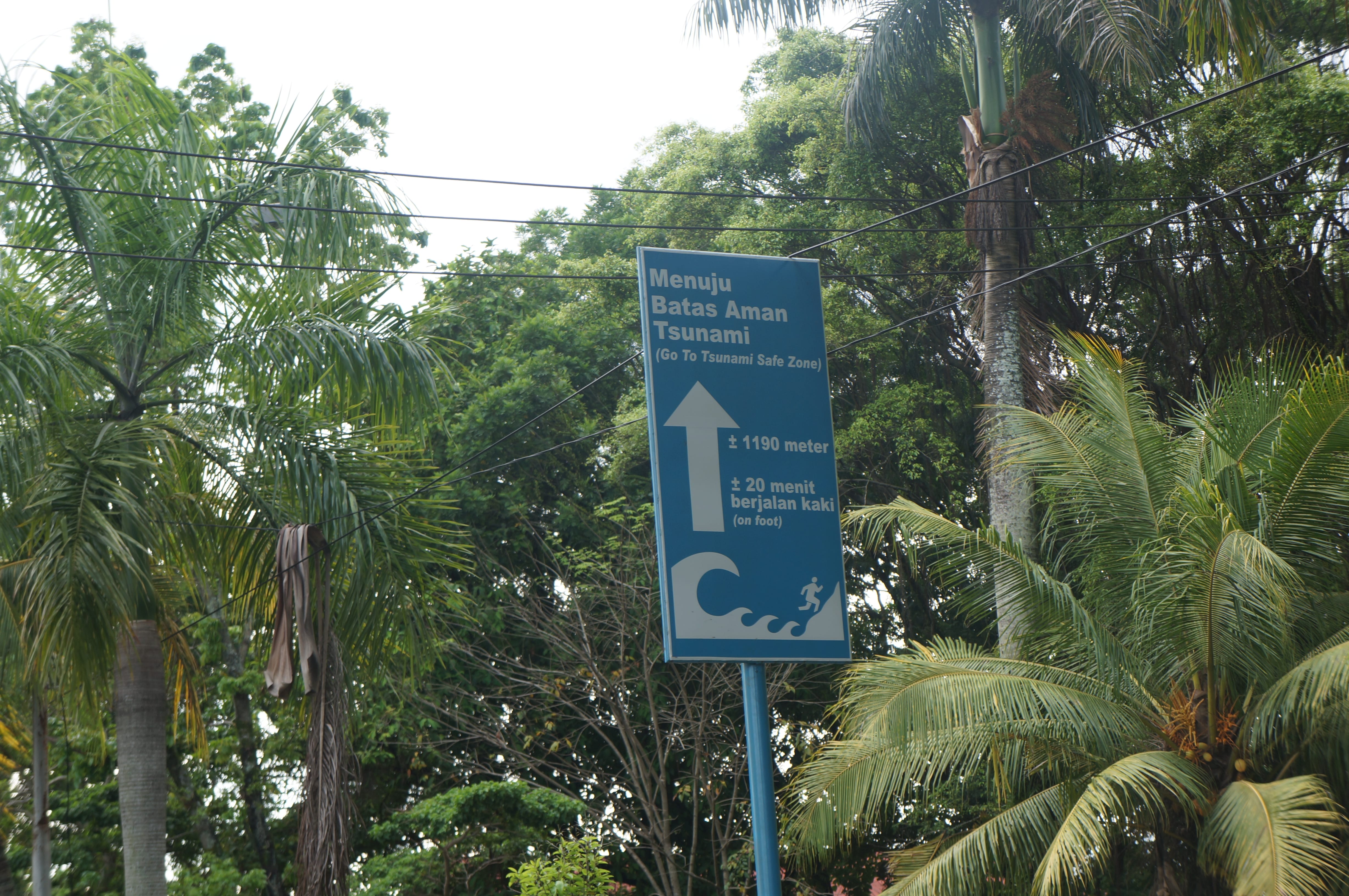
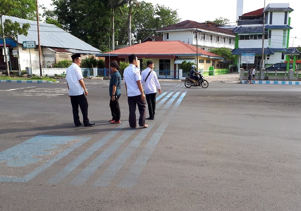
In 2009, Padang experienced a M7.6 earthquake that caused significant damage, caused over 1000 fatalities, and generated a small tsunami. During that event, it was clear that building structures were not able to withstand the ground-shaking and that there were insufficient evacuation shelters and routes to safety. This experience has focussed BPBD Kota Padang to push for the enforcement of existing building specifications. In addition, progress has been made in the development of tsunami evacuation plans and signage. This includes the identification of existing buildings (such as schools, commercial buildings etc.) that could be used as temporary shelters in the case of a tsunami. Kota Padang have trialled a tsunami evacuation route on one of the main roads in the city. The road has a number of signs that provide a route to safety and the distances required to reach a safe elevation above sea level. A Blue Line has been painted on the road itself but this isn’t signposted at all – we even drove past it the first time!
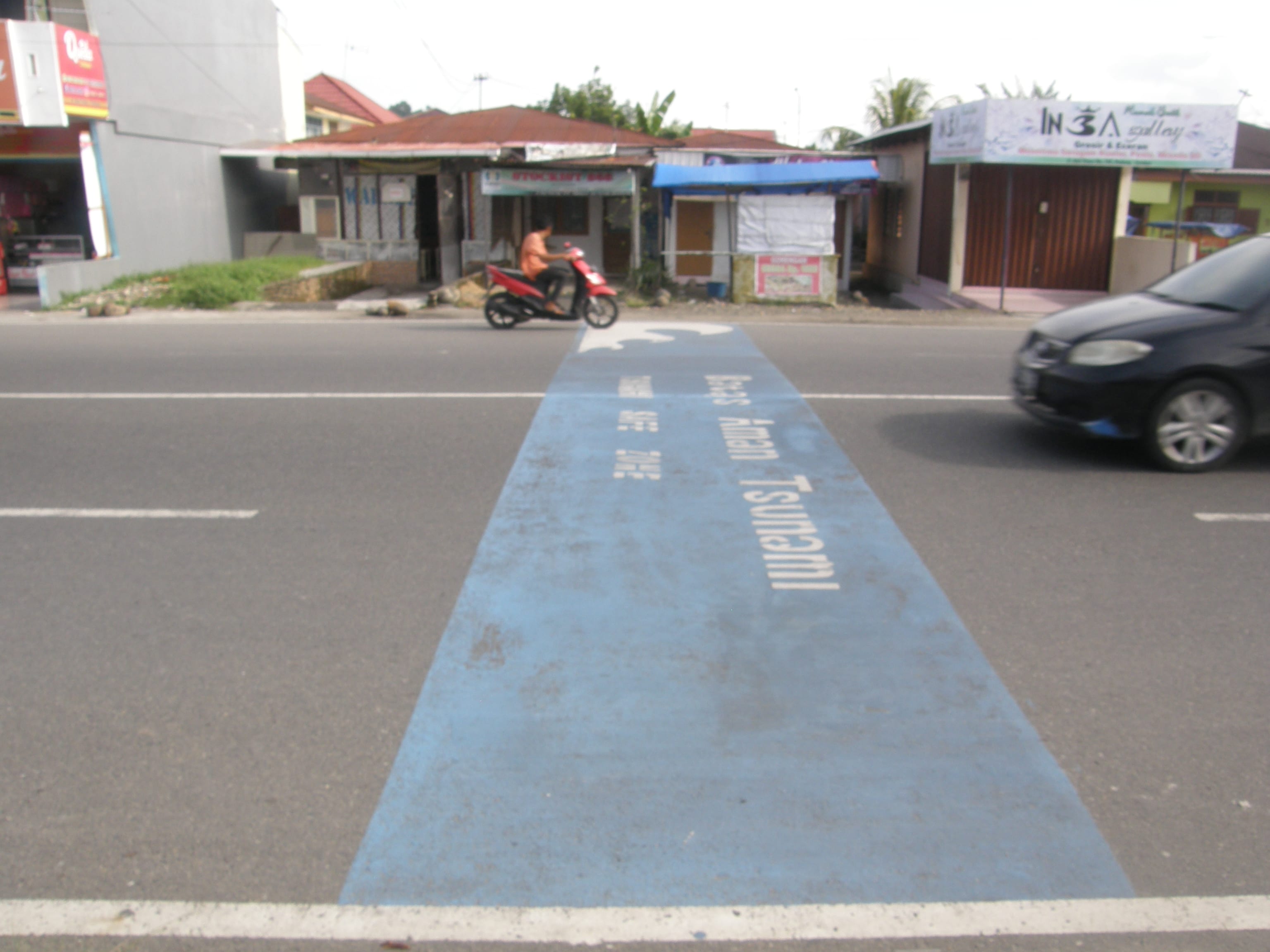
After Padang, we made our way south to Pesisir Selatan where the BPBD has experienced a number of staff changes over the recent past. Pesisir Selatan has limited resources but it has a team and Bupati leader who are enthusiastic and very supportive of the our DRR philosophy. With further engagement, especially with other stakeholders, the BPBD will hopefully gain some program momentum.
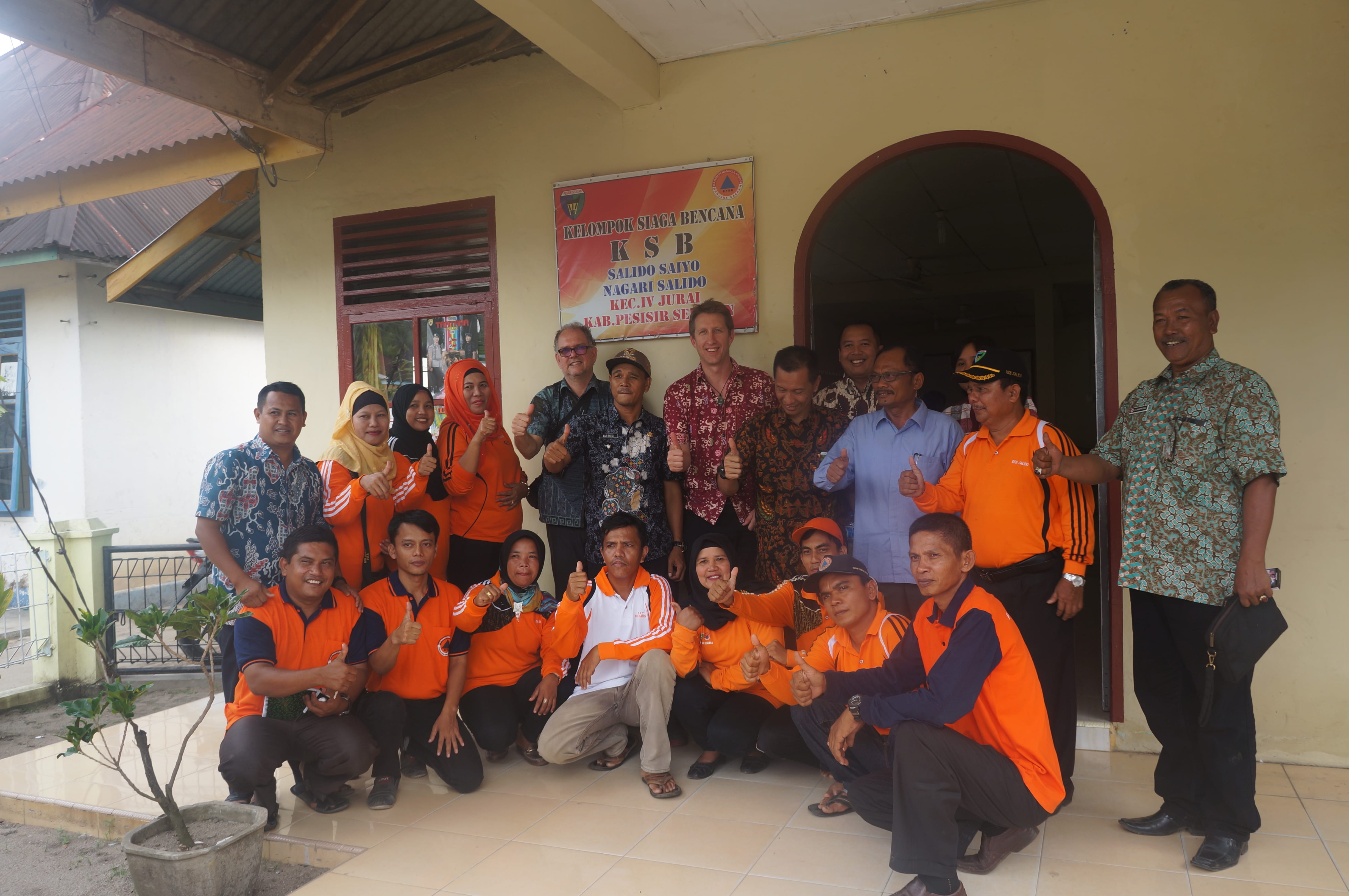
We visited a KSB from Salido Saiyo village – a group that has been active for the last three years. They described their planning and preparedness activities that mainly focussed on tsunami. Meeting with KSB’s provides us with a real insight into the understanding of the locals at the grassroots. It is at this level that the success of the programs supported by BPBD can be seen. This KSB in particular were well aware of the hazards posed in the region, how they could help provide support for government programs, and where they would like further assistance. They were a group that were keen to learn from us about how NZ prepares for disasters and how effective learning in schools permeates through the community. All in all, there is a lot of potential for the successful implementation of DRR programs within Pesisir Selatan despite their lack of resources.
Coaching and Mentoring – Bengkulu
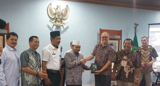
A StIRRRD team has been in Seluma and Bengkulu City in Bengkulu Province, as part of the ongoing implementation of the BPBD-led DRR actions plans, as the project moves from phase 1 (plan development and training) to phase 2 (implementation and monitoring). A small ceremony celebrating the collaboration and support of the districts during phase 1 was held, with a certificate and token of appreciation presented to the district heads. The team also met the parliament of each district to discuss on-going support of the BPBD disaster risk reduction measures.
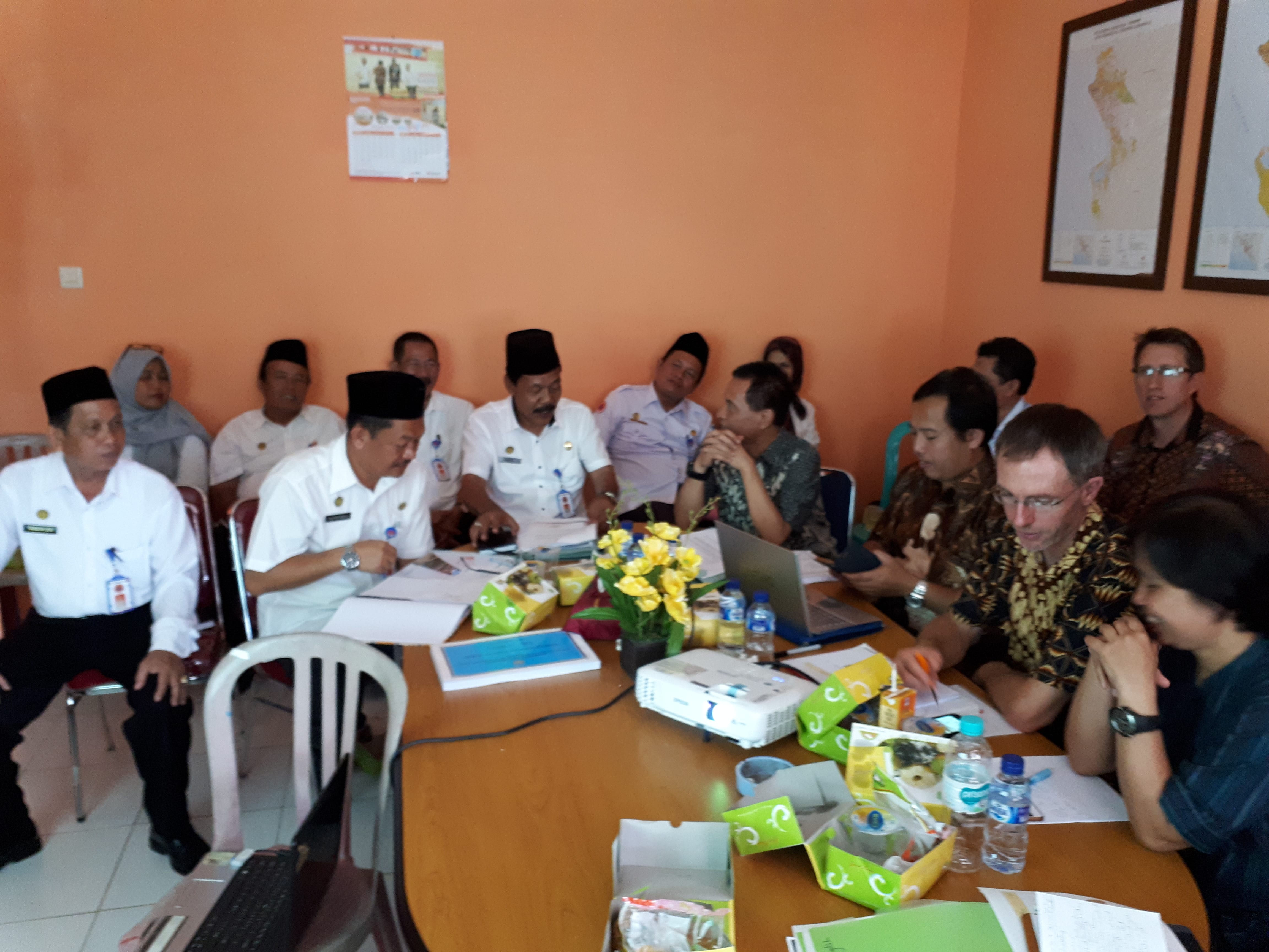
The team met with the BPBD, and other government agencies, in separate meetings, to discuss progress, reaffirm commitment to the Action Plan Initiatives, and discuss implementation options.
In October 2016, Bengkulu City BPBD implemented a tsunami “Blue Line” project and included it in an evacuation simulation for schools. Unfortunately, the contractor used a water-based paint and the line has quickly faded. However, the BPBD are committed and have budget to implement more blue lines along the coast, improve evacuation routes, involve the local communities to raise awareness and upgrade signage.
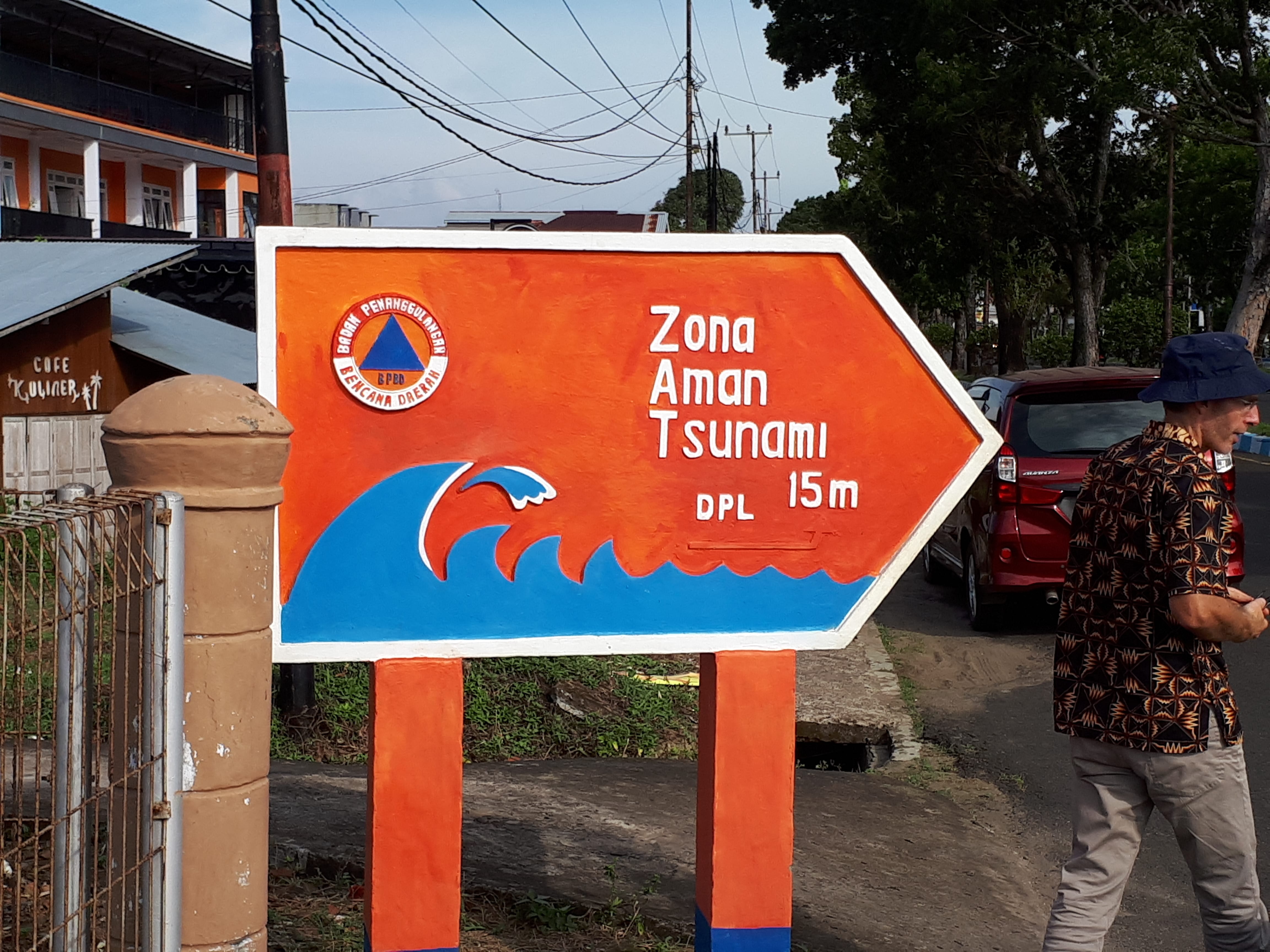
In Seluma the team met with the disaster volunteers of Rawa Indah village, where a vertical tsunami evacuation shelter has been constructed. Despite not yet officially taking control of the shelter, the locals are using it for weddings, mother’s groups and other social occasions and ceremonies. The community obviously value this structure, and are making some effort to keep it clean and tidy. For minimal cost, it would be possible to make this structure more suitable for community use. This part of the Seluma coastline is a flat broad plain, and the villages are susceptible to flooding, tsunami and storm surge events. The evacuation shelter may therefore also be useful during other disaster events.
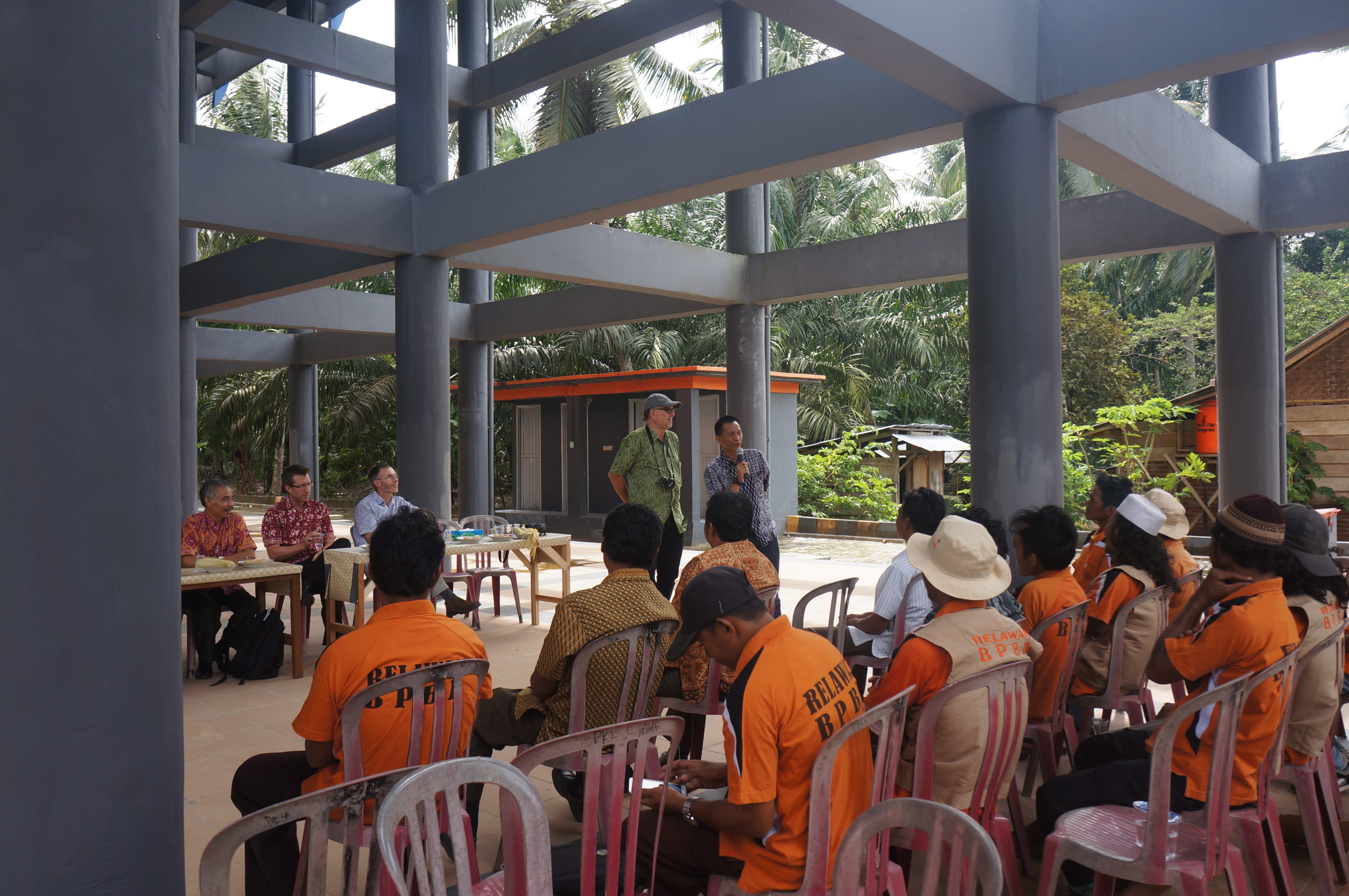
Seluma has limited resources but despite this, it is trying to implement its Action Plan, and will benefit greatly from the coaching and mentoring provided by the StIRRRD team over the next year or so to gain some momentum. In contrast, Kota Bengkulu has gathered momentum with a number of initiatives currently underway, and planned in the current financial year.
It is vital for the sustainability of the program that local universities are involved in providing expert advice as well as student resources as part of their community service. In both Seluma and Bengkulu City, the University of Bengkulu (UNIB), particularly the Disaster Research Centre, is providing this key support role. A number of initiatives are likely to be led by, or involve UNIB, including development of local building clinics, hazard education in schools and tsunami education and socialisation. UNIB will also be conducting geophysical and geotechnical research projects that aim to improve understanding of natural hazards in the region.
Risk Reduction Action Planning in Donggala
The StIRRRD team were back in Donggala this week on our third visit, supporting the local disaster management agency in its final stages of developing an action plan aimed at reducing risk. Many stakeholders joined the discussion and there will be follow-up workshops to fine-tune the details next week.
The plan is an attempt to coordinate risk reduction activities across different local government work units: development planning, public works, health, disaster management, education, agriculture, environmental management, etc. It also involves and is supported by the local university, Tadulako University, and NGOs.
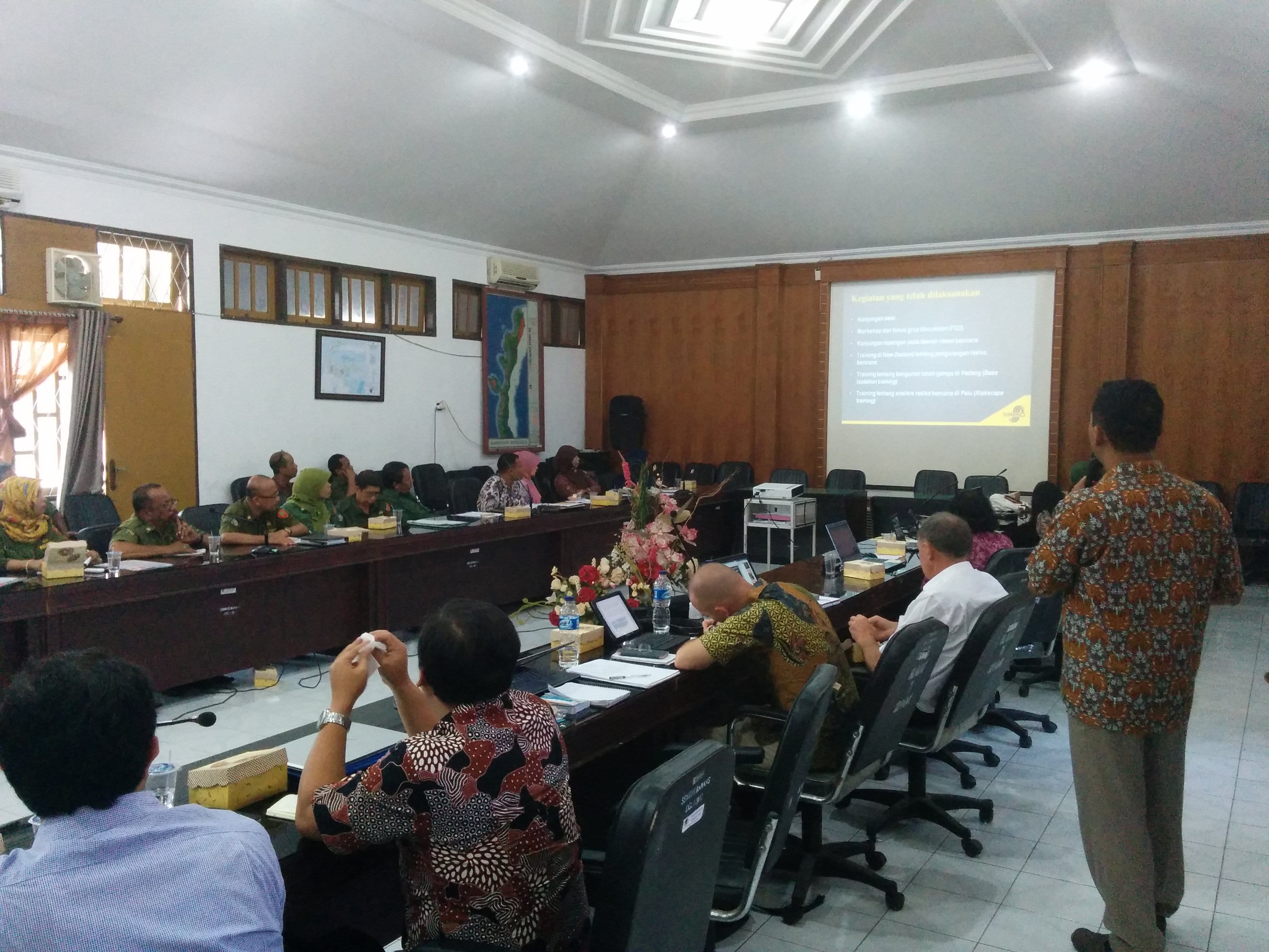
Workshop participants listen to Dr Agung Setianto from Gadjah Mada University.
Workshop participants listen to Dr Agung Setianto from Gadjah Mada University.
The plan was presented to Donggala’s parliament which generally supported the workplan. We hope that greater priority will be given to DRR and a greater budget allocated as a result. A robust debate was had about the role deforestation and aggregate mining were having on increasing risk, particularly increasing the frequency of landslides, flooding and coastal erosion. It was great to see the awareness of these issues and local government debating ways of managing these problems. The proof will be in changes over time, one step at a time.
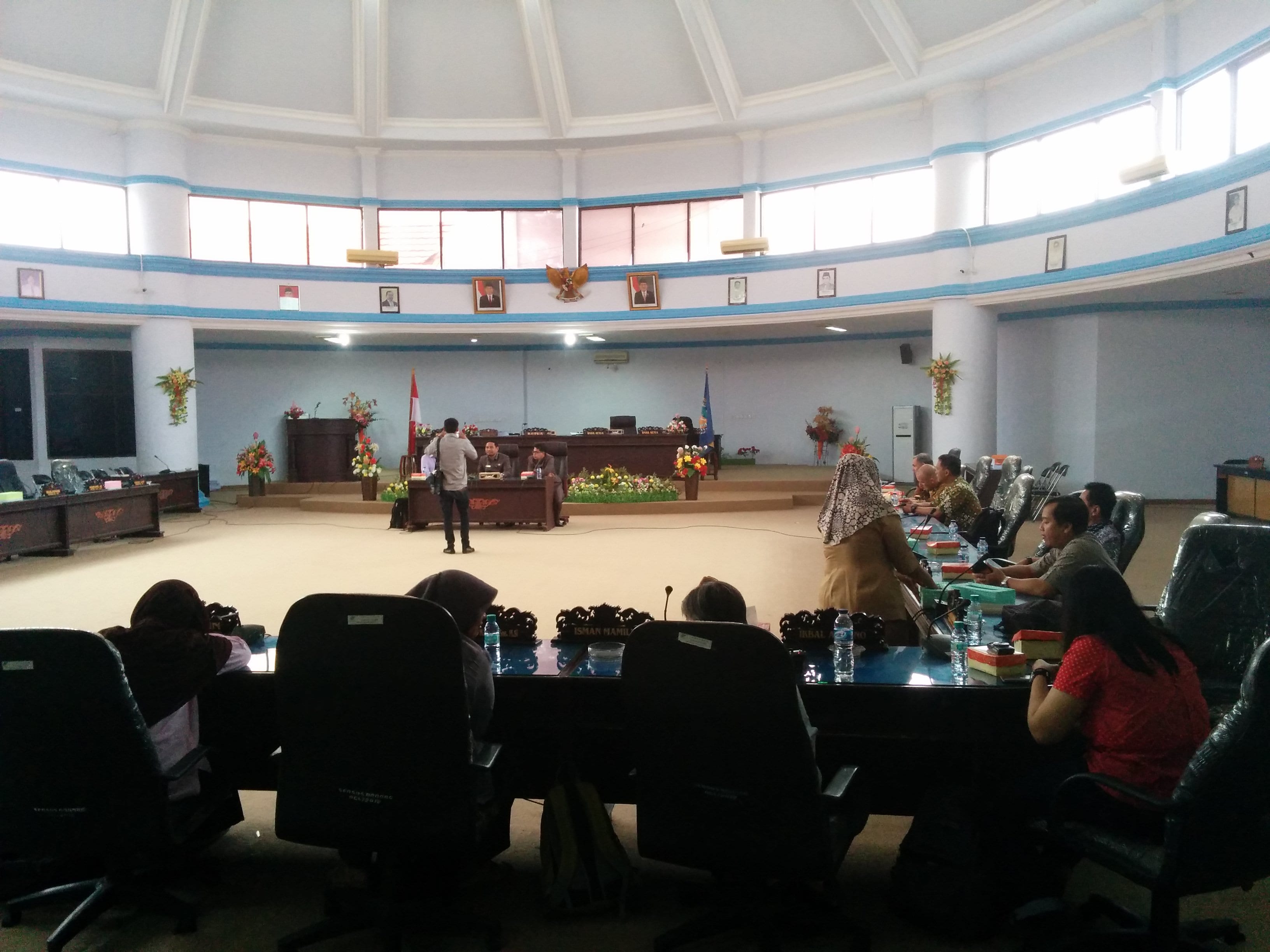
Presenting the Action Plan to Donggala Parliament.
The team also took the opportunity to meet with colleagues from Tadulako University, who are an important stakeholder and who will help local government tackle the DRR challenges in the district. Tadulako are taking initiatives to develop capability in risk modelling and are involving students in capturing building asset data in Palu on tablets in order to better understand the vulnerability of different types of buildings to natural hazards. See an earlier blog on Riskscape training.
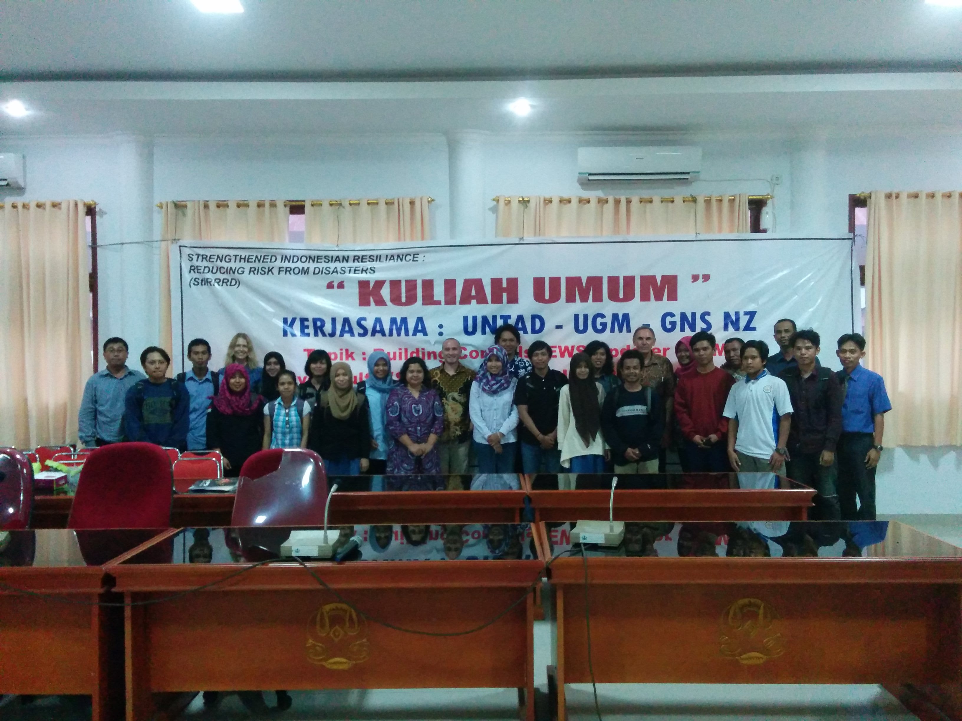
With colleagues from Tadulako University


