Category Archives: Field visits

Vision Matauranga visit to Agam

A recent GNS Science project involved a small team of Maori community leaders visiting the Agam Regency in West Sumatra, Indonesia.
P1200842
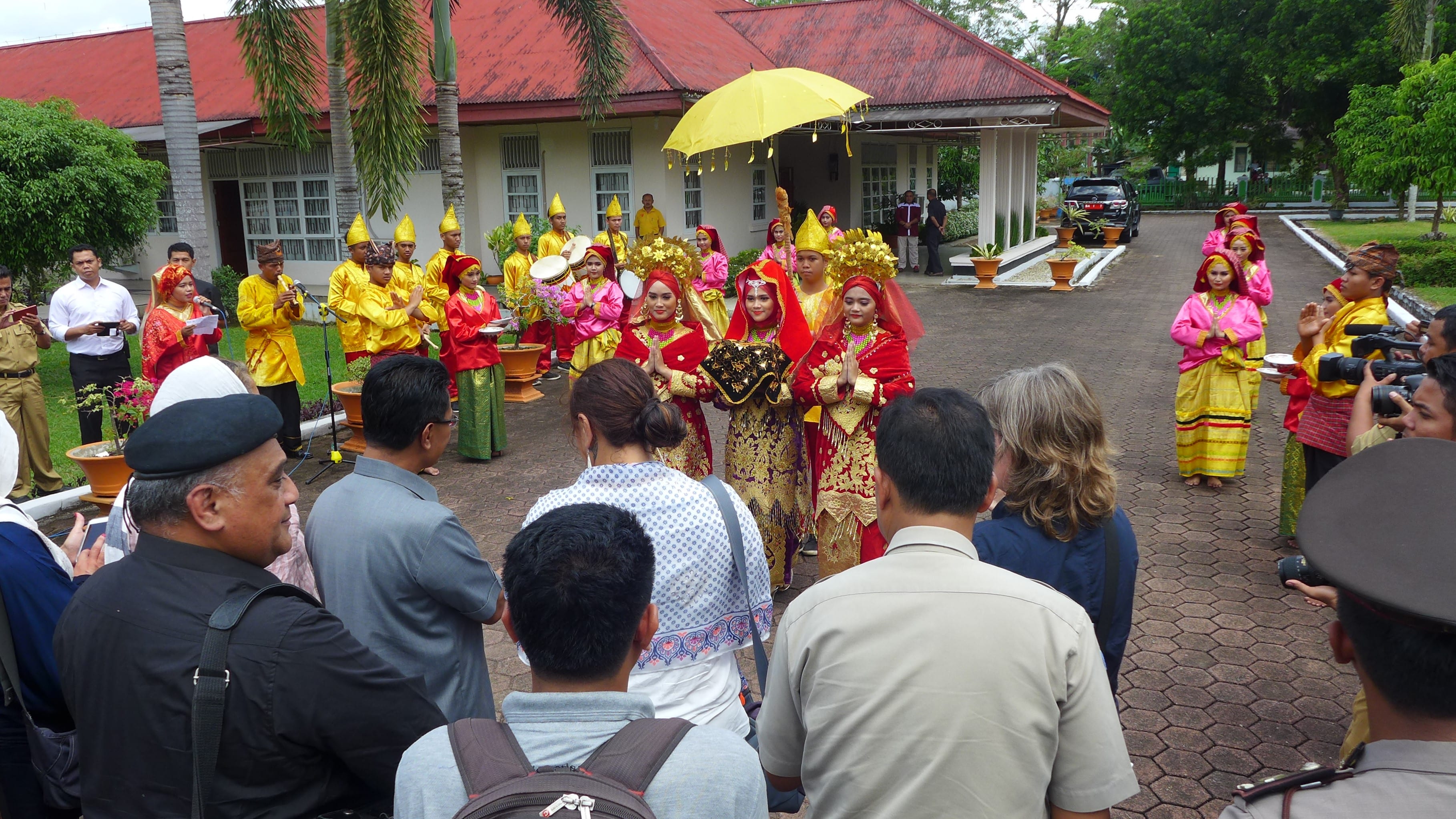
The team are welcomed to Agam Regency, with the pasambahan dance ceremony

The purpose of the journey was to exchange cultural knowledge and experience of natural disasters between representatives of Maori and the local Minangkabau people of Agam . Maori participants included Tui Warmenhoven and Jean Palmer of Ng?ti Porou and Robyn Rauna, Ng?i T?manuhiri all from the Gisborne District, and Joe McLeod of Te Pringa O Te Awaikairangi in Lower Hutt. Accompanying the visitors were Phil Glassey and Julian Thomson from GNS Science, Dr Megan Collins, a musicologist who has extensive knowledge of the local Minangkabau culture indigenous to Agam, along with Drs Esti Anantsari and Arry Retnowanti from University of Gadja Mada (UGM).
P1210008
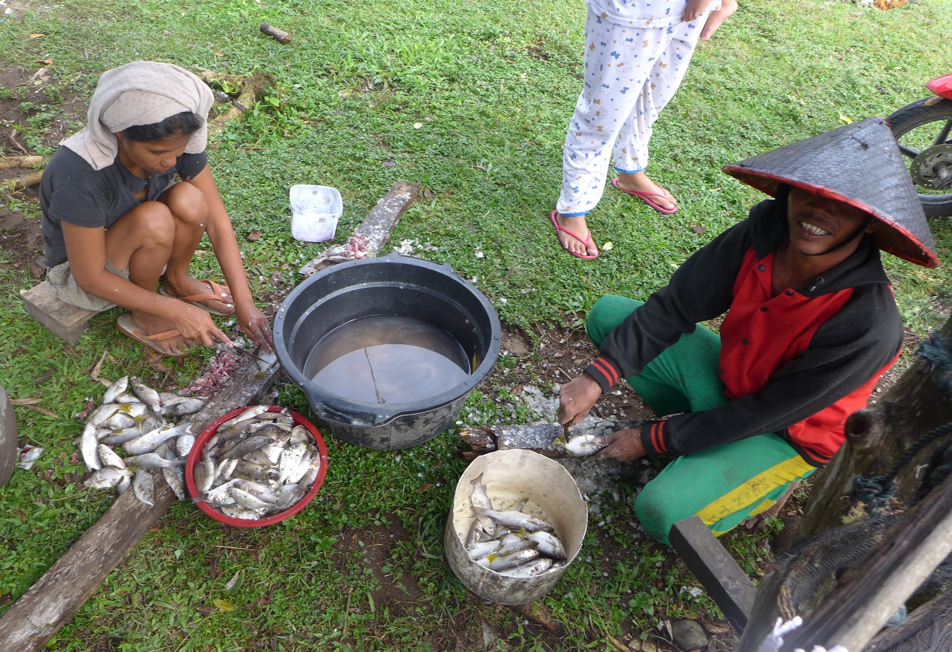
After a traditional ceremonial greeting by the Regent, the first location of our visit was the Tiku community on the Agam coast. The people here depend largely on fishing for their livelihoods. They are also subject to a serious tsunami hazard as the coastline faces a major plate boundary fault.
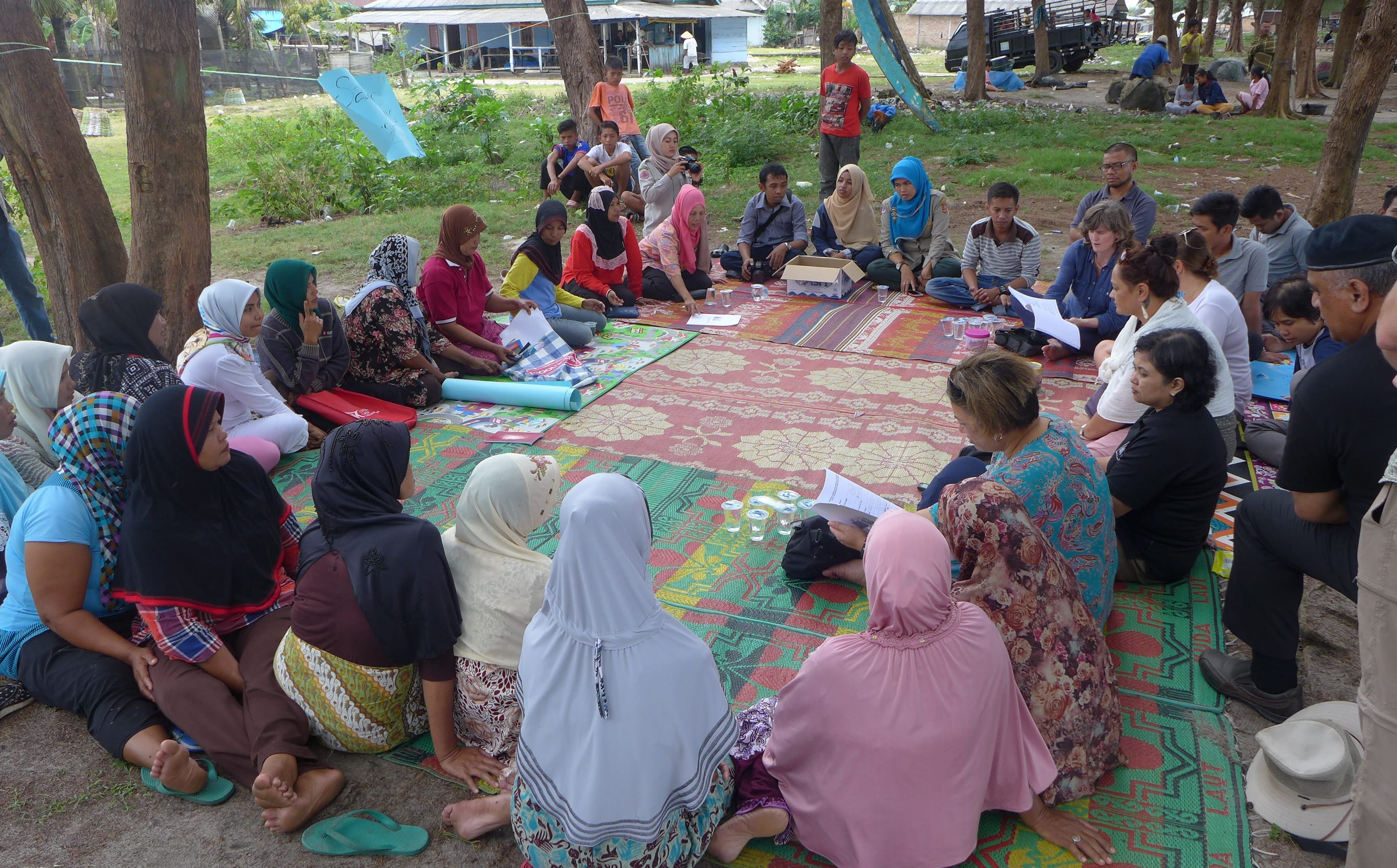
P1210202We were introduced to a group of local women who had taken steps towards self-empowerment and community resilience through micro businesses related to fishing. This had different aspects, including economic, educational and disaster planning elements.
P1210167

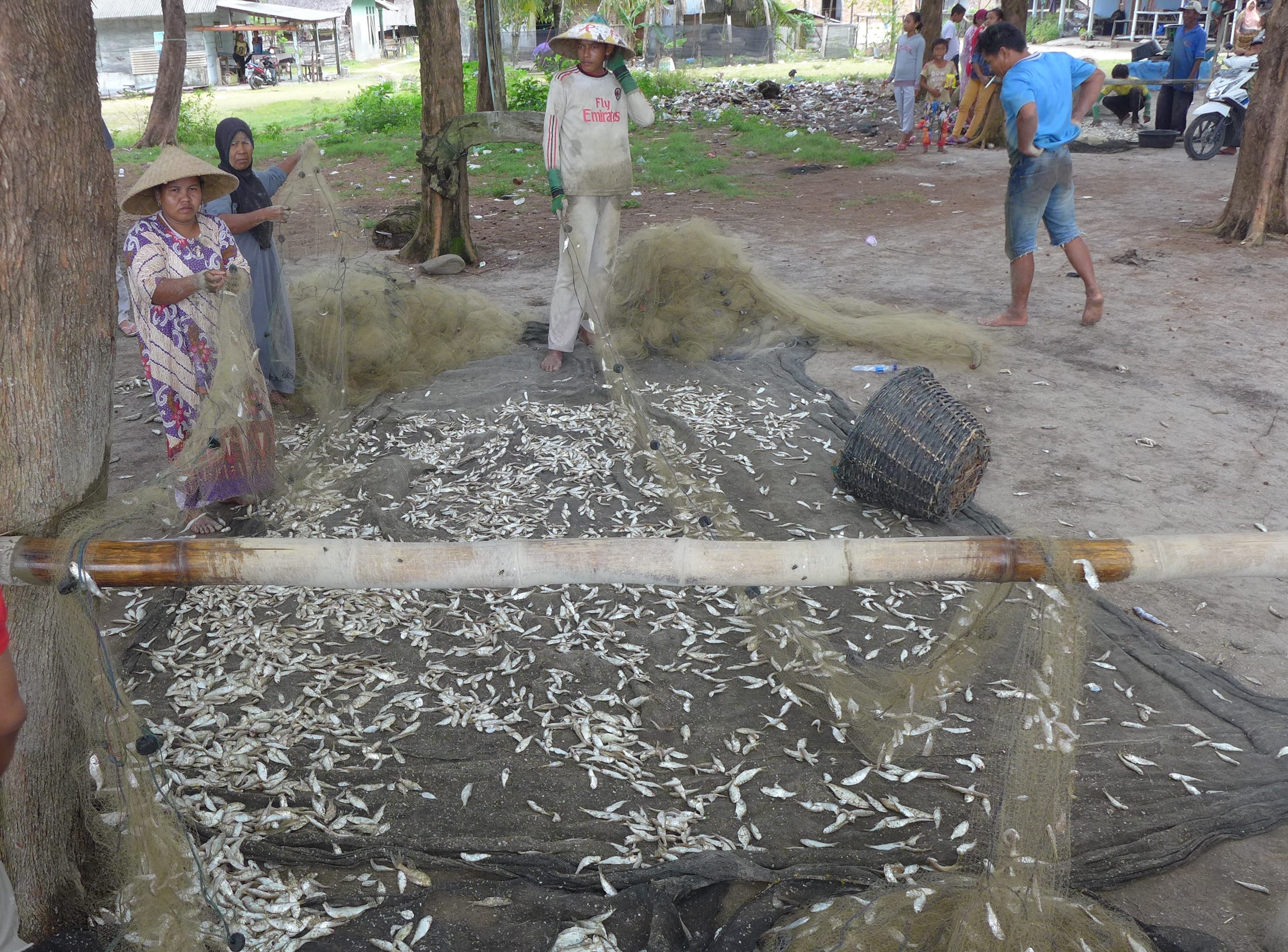
The women showed us how they had developed dried seafood products, which they sell under the label, ‘Beautiful Coral’, that can be stored long term which  added value to the fish that were caught by the men in the community.
P1210242

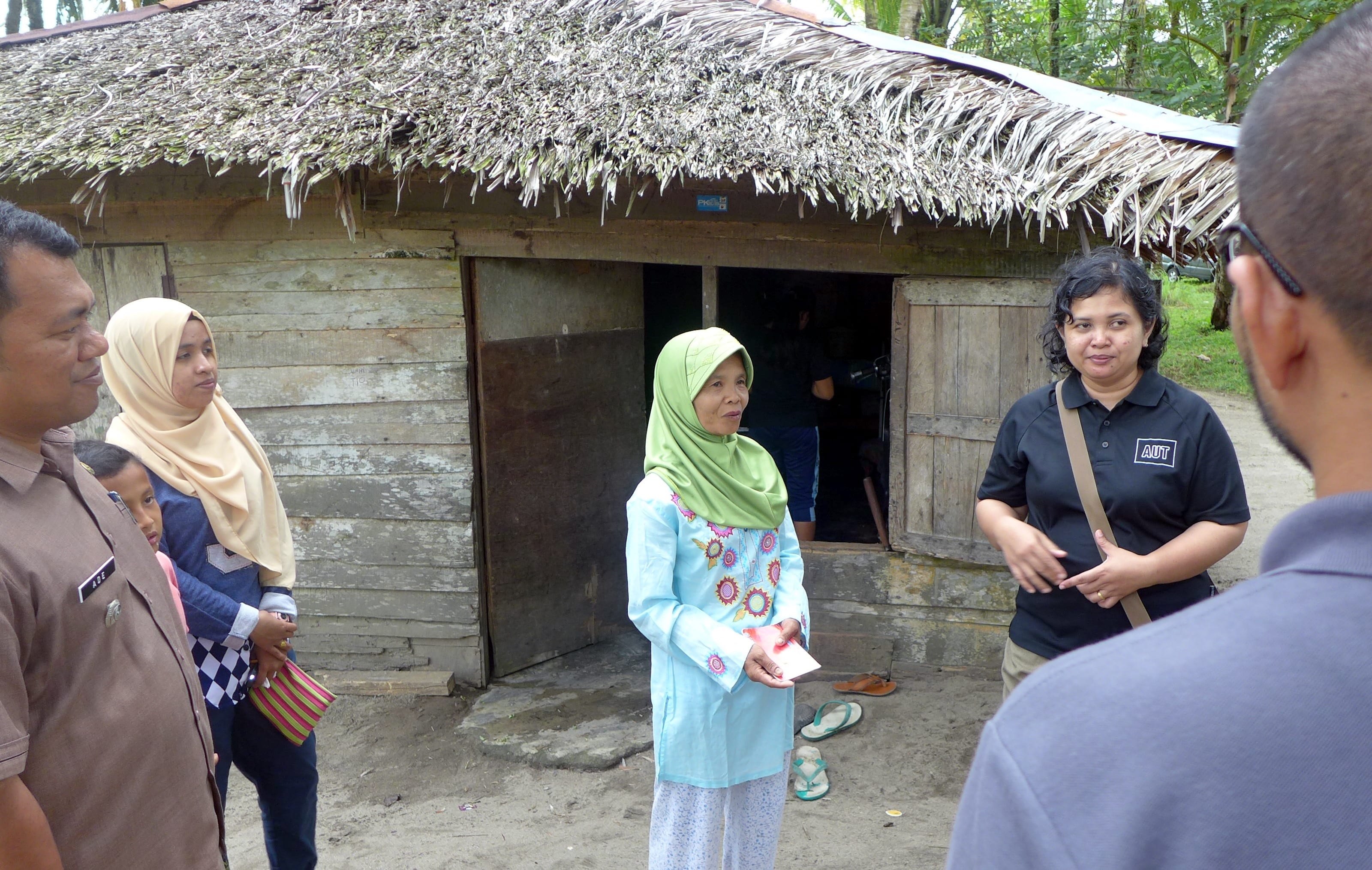
This local lady lived nearby. Although her husband died some years ago, as a couple, they had purchased land together, which she has now been able to develop with the assistance of  Jemari Sakato, a local NGO supported by Oxfam. They gave her some chickens and a couple of goats. Over time she has expanded her livestock and, along with selling coconuts and caring for the neighbours cows, she has become financially independent. She is able to afford micro-insurance that protects her livelihood in case of a natural disaster.
P1210299

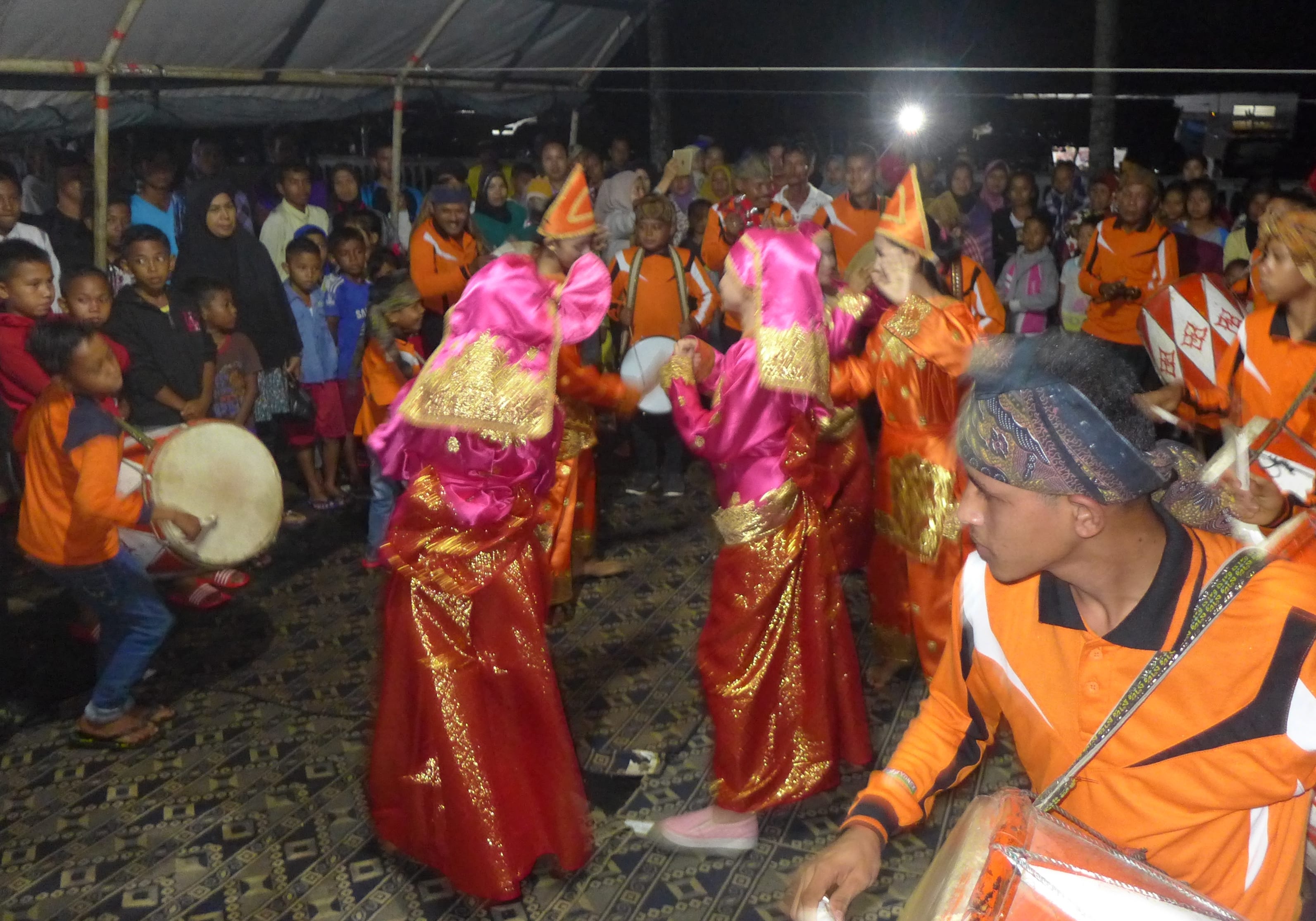
There were many cultural treats for our group during our visit. Here is a performance of the Shi’a Islamic music called Tambuah Tasa (bass and snare drum ensemble), from Bukik Malintang, with dancers from the randai theatre group ‘Santan Batapih’. The drumming  performance was incredibly powerful.
P1210376

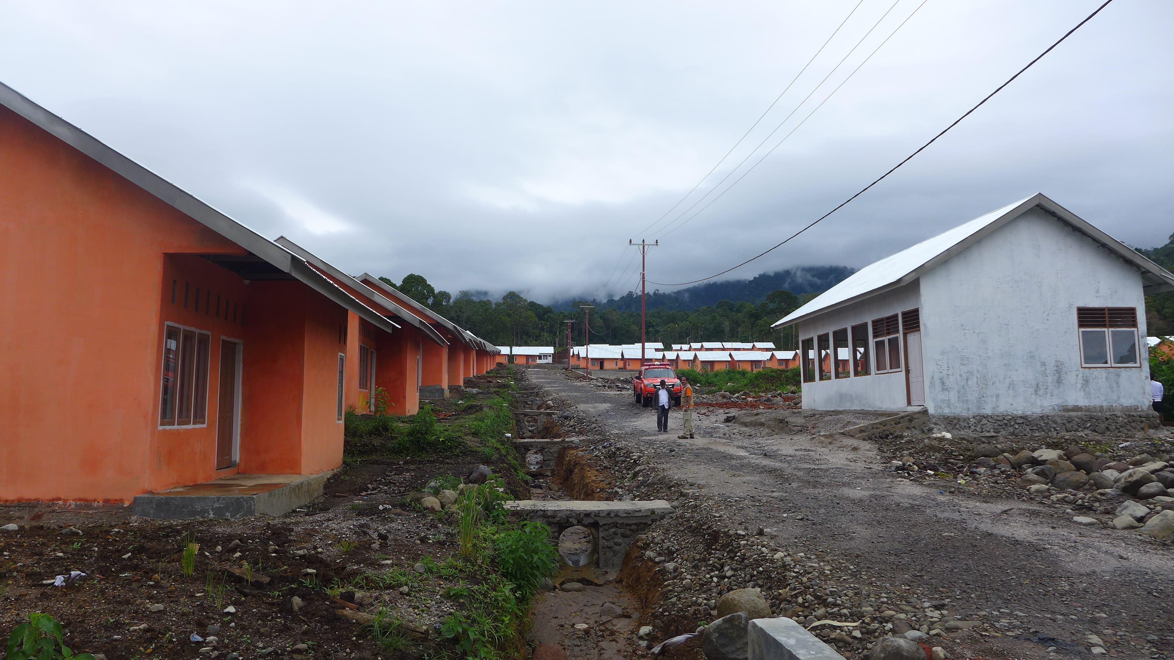
Next we headed inland and stopped at a village that had been designed and built in a Sumatran jungle clearing to house people who had been impacted by a large earthquake in 2009. There were roughly 120 identical houses, along with a mosque and community centre. The village is more or less ready, but yet to be occupied.
P1210545

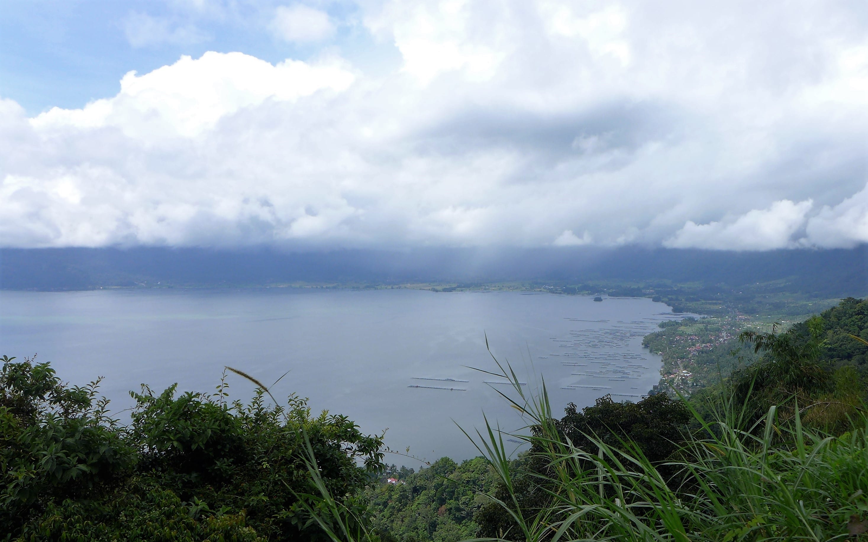
We then travelled on to Lake Maninjau. This is a dormant volcanic crater (caldera).
P1210500

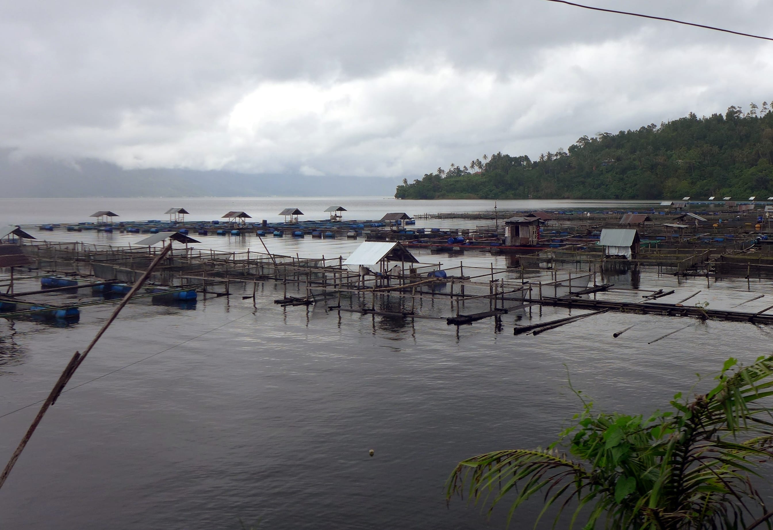
The people living on its shores rely on fishing also. The photo shows the nets used for intensive fish farming.
P1210417

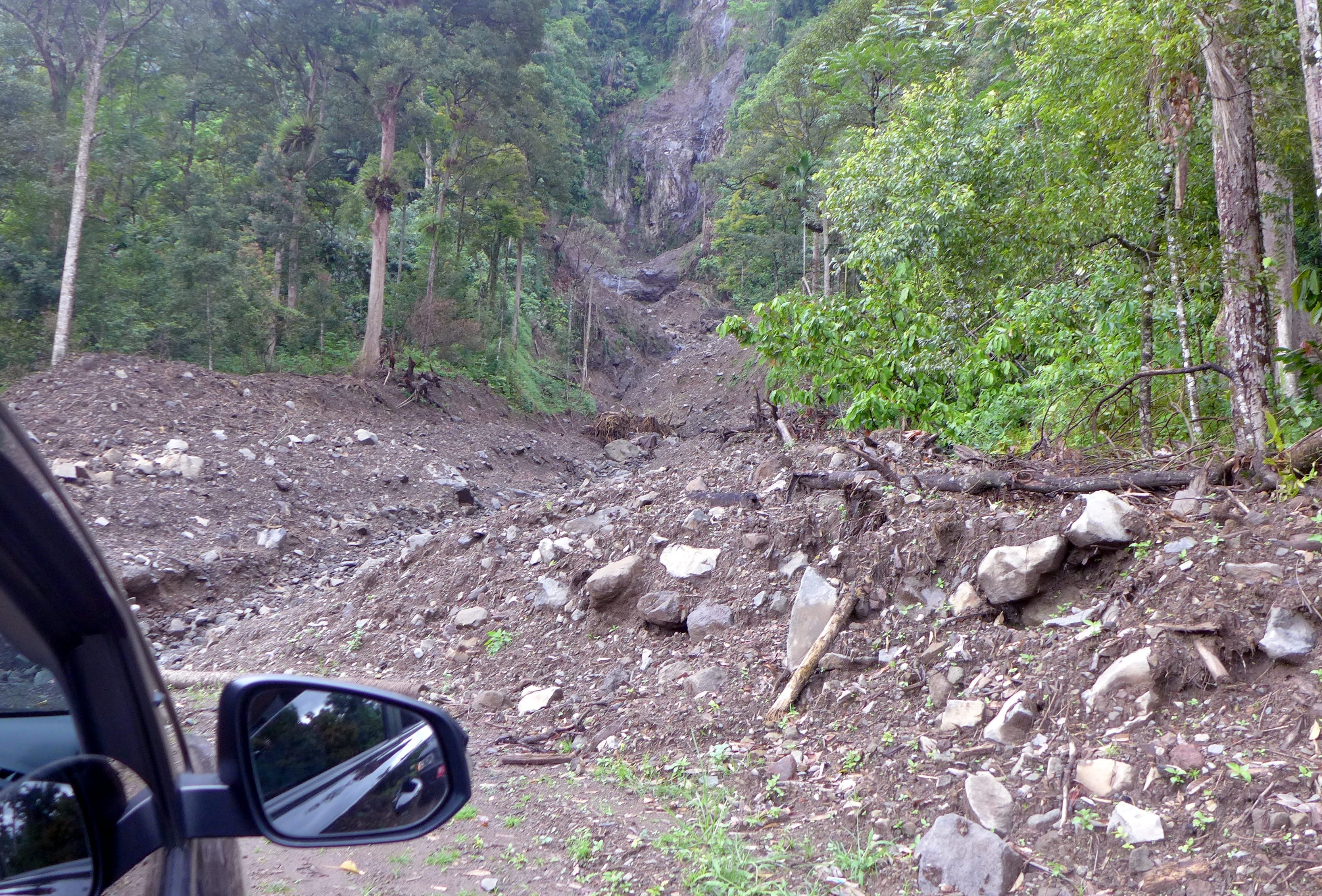
Because the sides of the crater are so steep, they are subject to many landslides that endanger the locals. This is one that we drove across and must have been very recent. The road had not yet been properly repaired.
P1210422

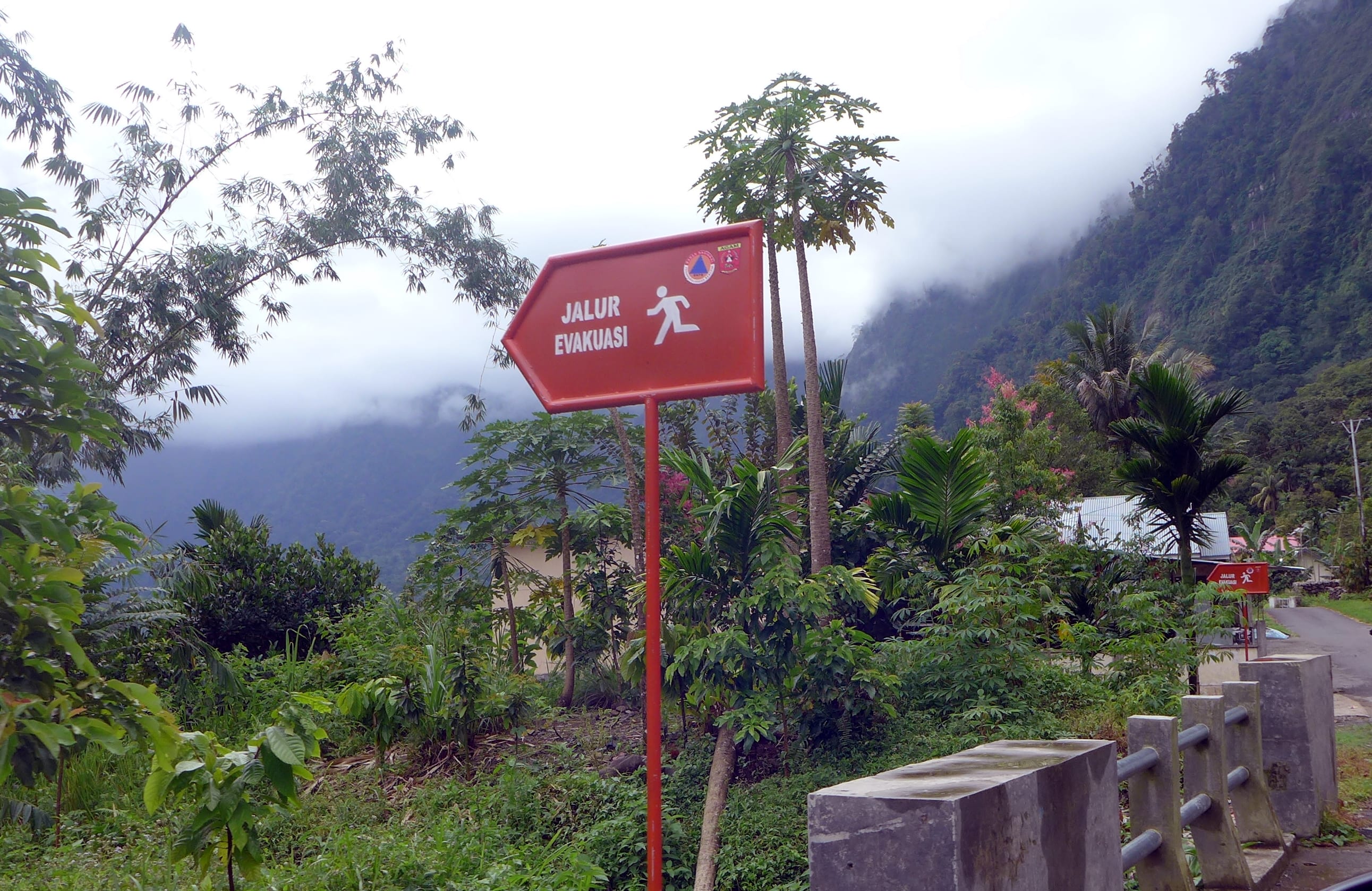
These signs indicate evacuation routes down to the lake shore in case of an emergency.
P1210678

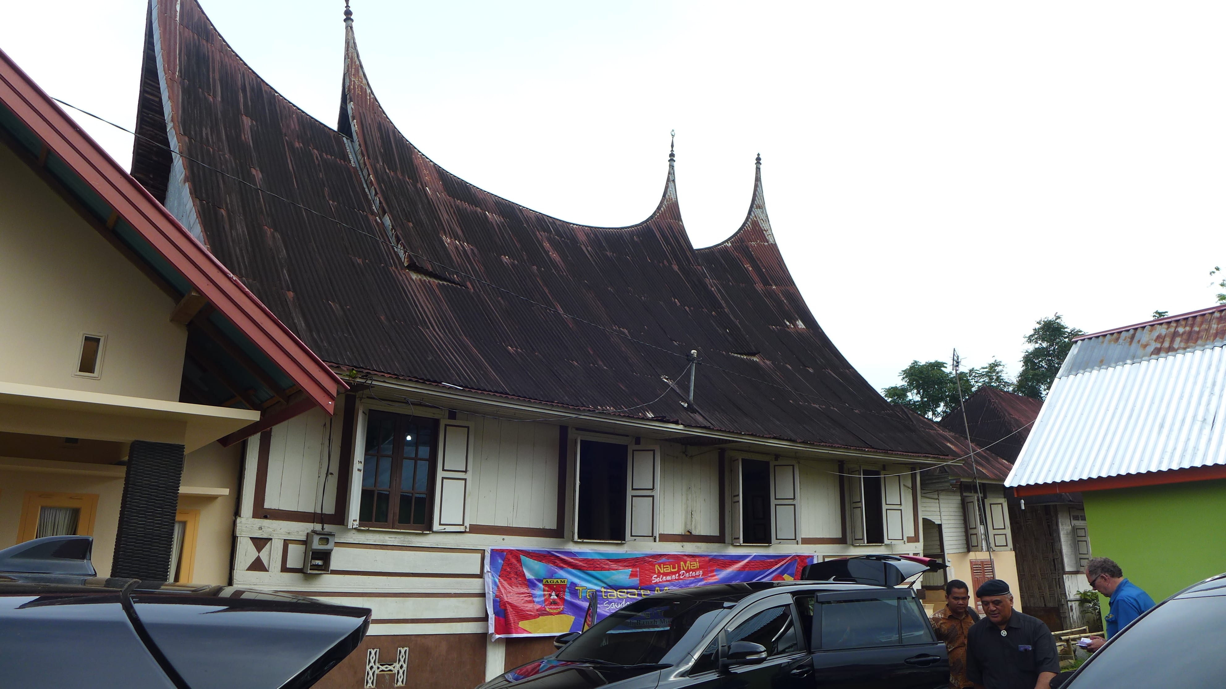
From the lake we made our way to to Canduang and a traditional house called a Rumah Gadang, where we had been invited to stay the night. The traditional architecture of the roof is typical of the Padang area. The points represent buffalo horns from a legend in which a buffalo saved the local minangkabau people from invasion by the Javanese.
P1210622

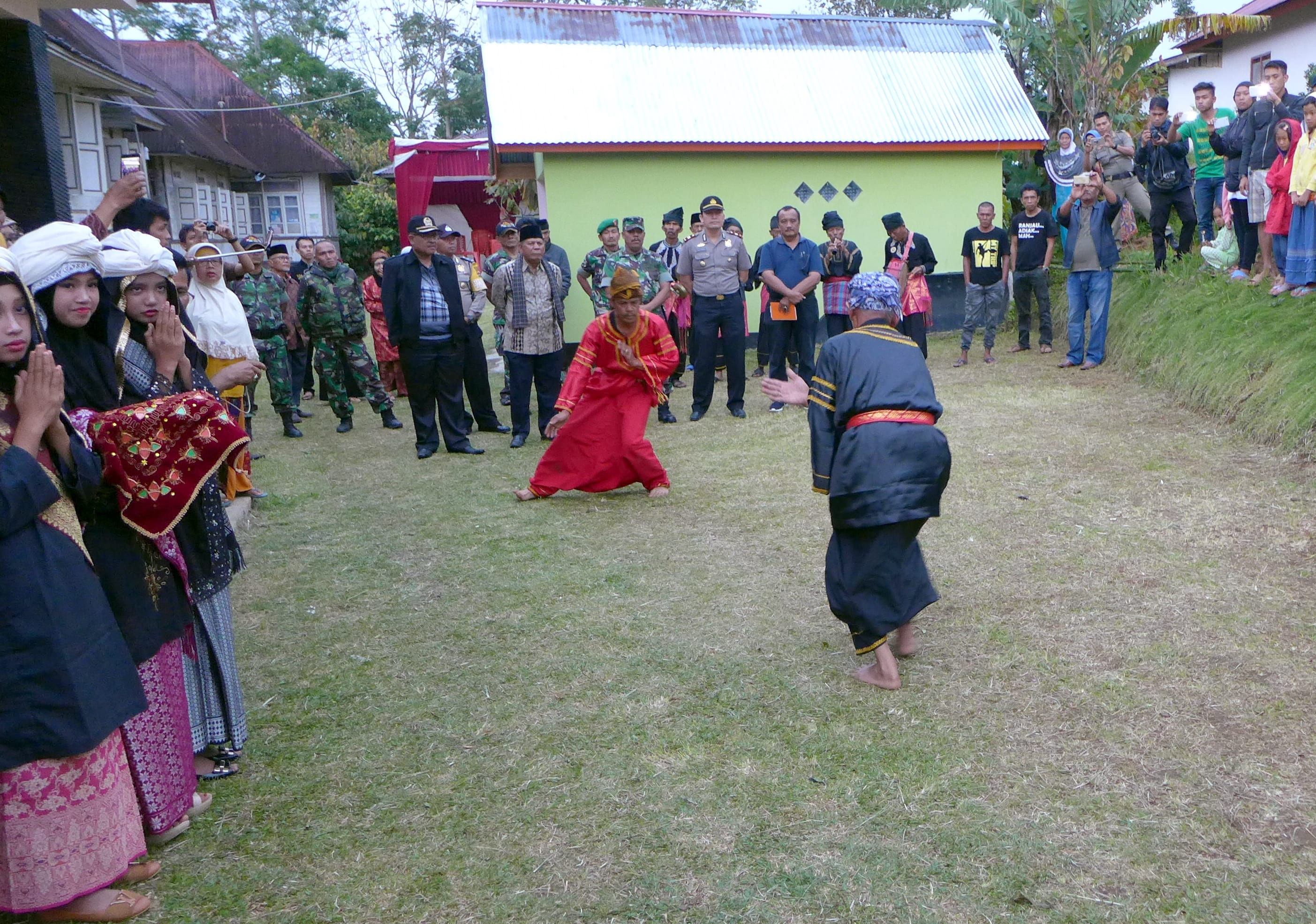
In Canduang  we were again welcomed with by the Pasambahan dance, which this time included silek martial arts, demonstrated by senior masters. The two men were sparring with knives.
OLYMPUS DIGITAL CAMERA

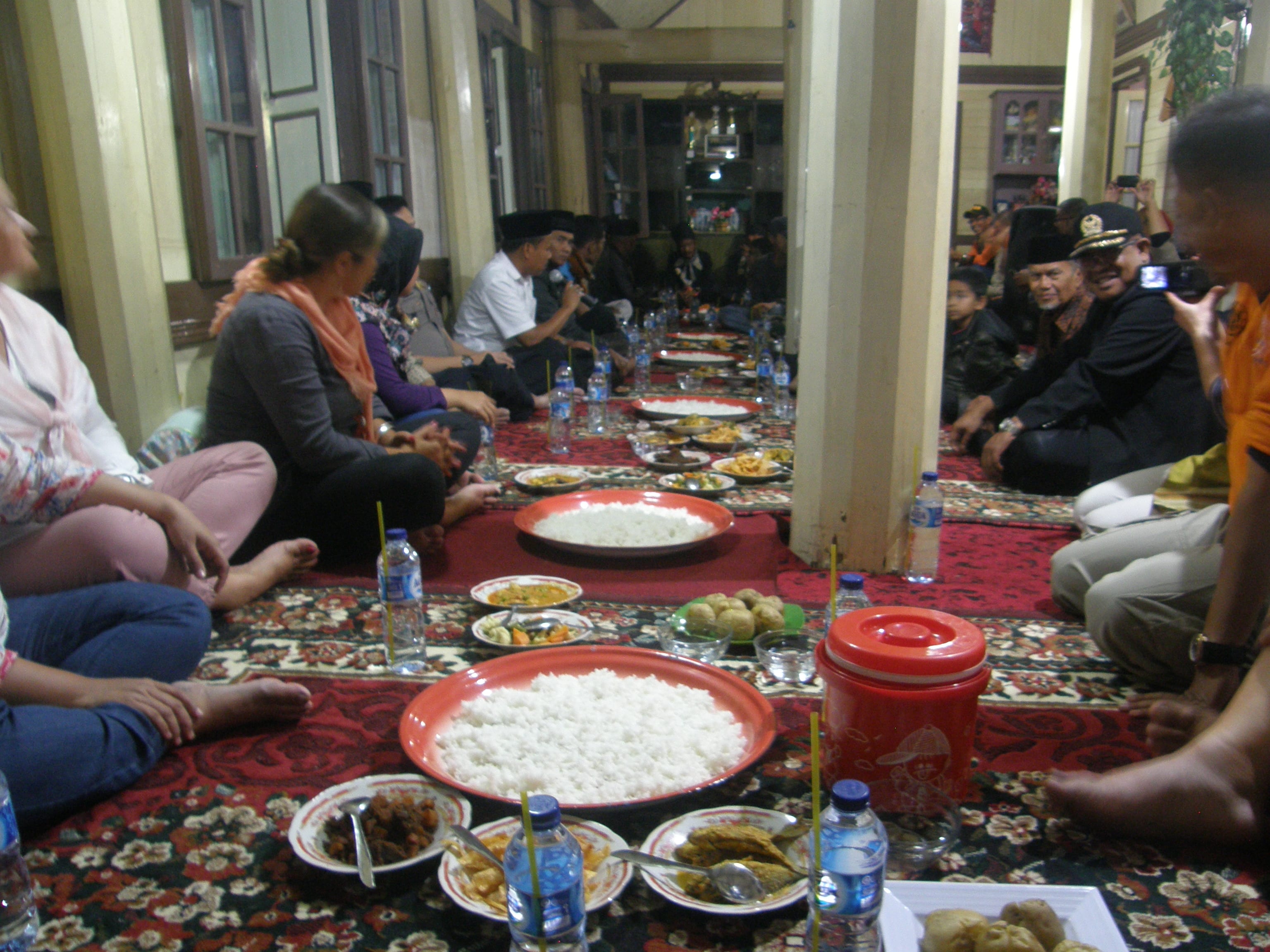
We shared a community meal inside the big house, which belongs to Mrs Zulharty and her extended family.
P1210673

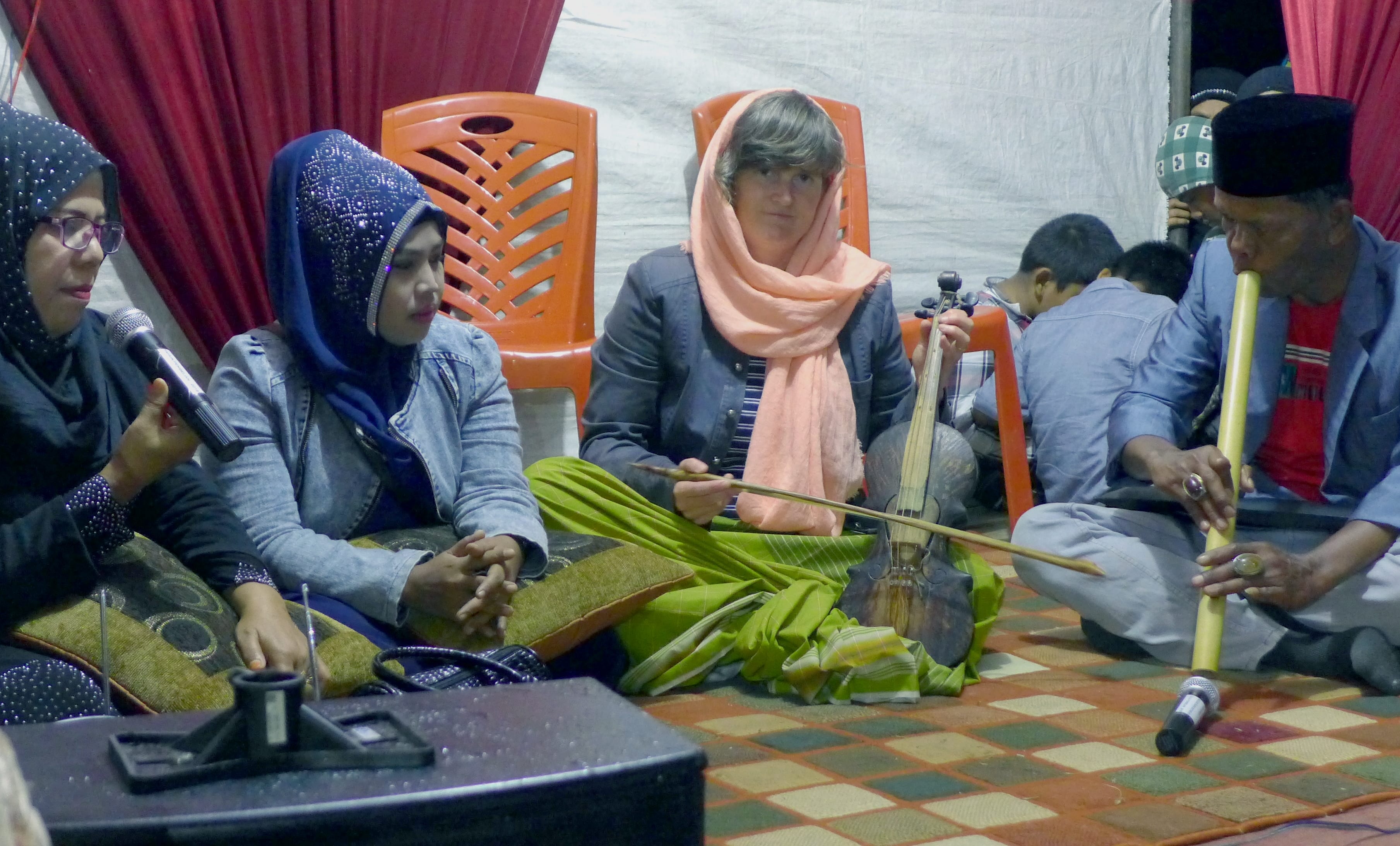
Afterwards, the team where treated to a performance of Saluang jo Dendang (flute and voices). Megan Collins also gave a performance on the rabab Pasisia Selatan (fiddle from the South Coast) singing the opening of a kaba narrative that was much appreciated by the local audience.
P1210633

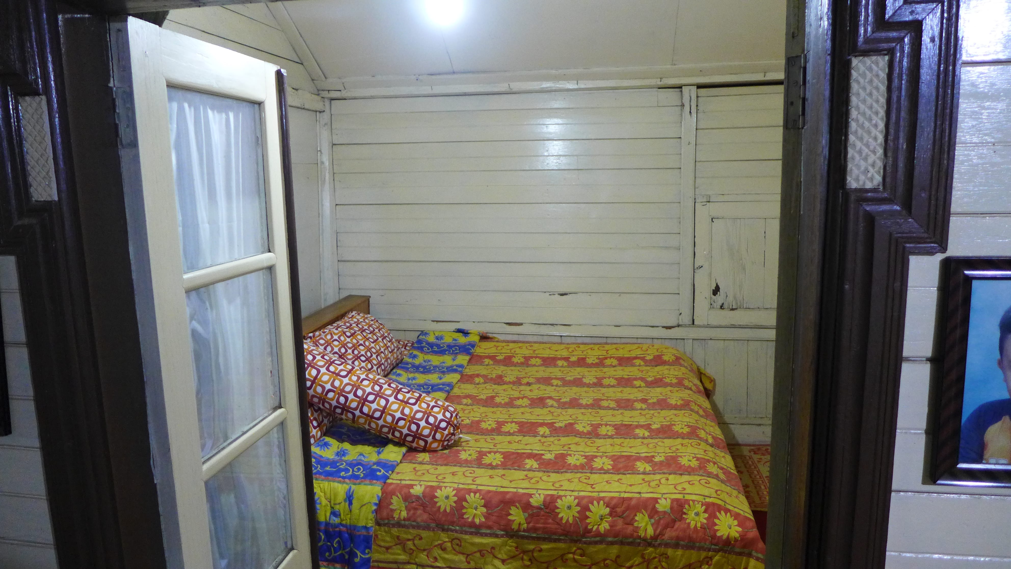
The Rumah Gadang is a meeting space with  several bedrooms at the back. Communities in this area are based on small extended family units that live in each Rumah Gadang, and the family structure is matrilineal. Women have the main authority in the family and the oldest woman in the family owns the house. Her daughters each have a bedroom allocated and when they marry, their husband moves in to the house with them.
P1210697

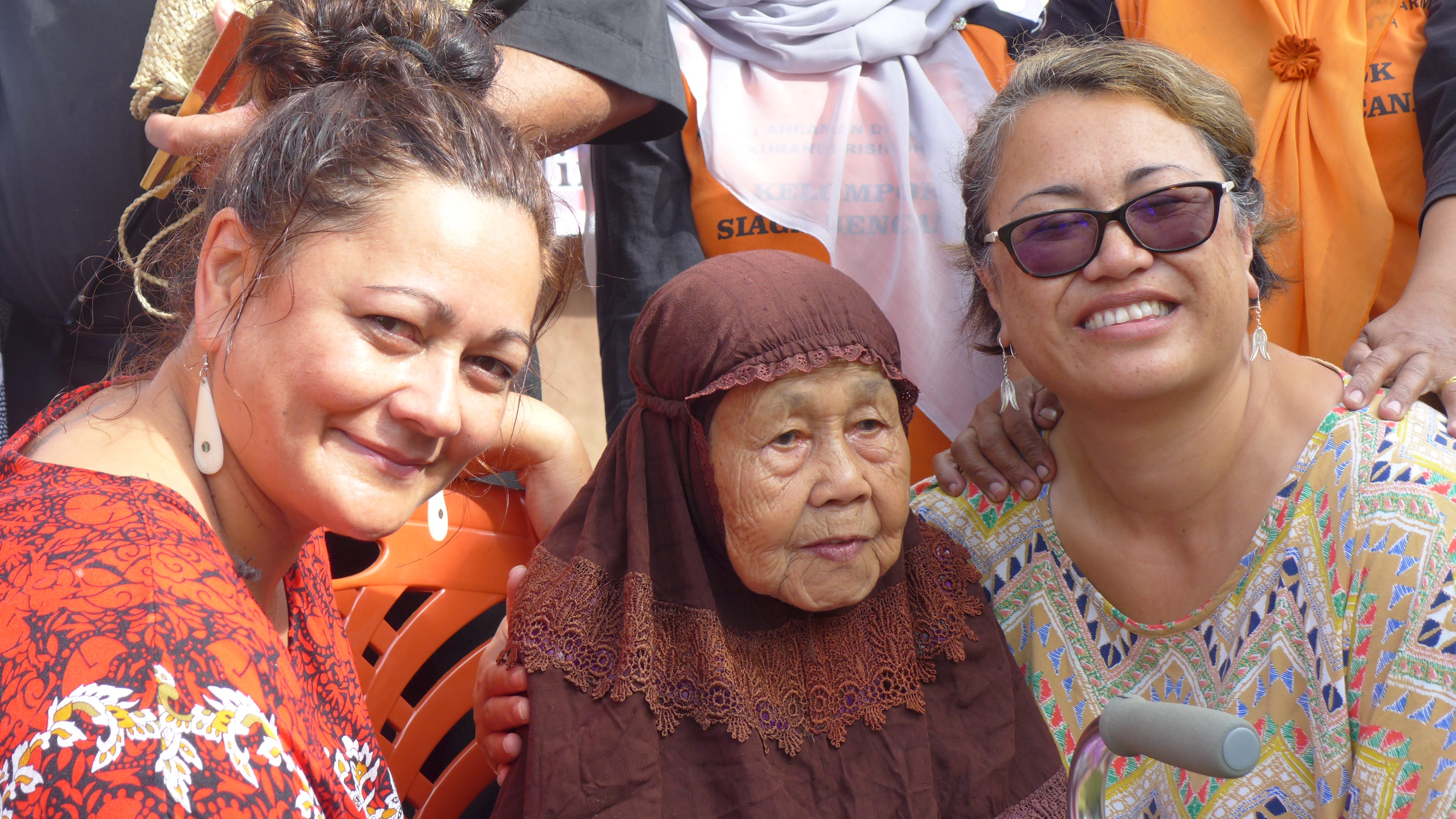
Here Jean and Robyn sit with the matriarch of the household , who is highly respected and is 92 years old.
P1210971

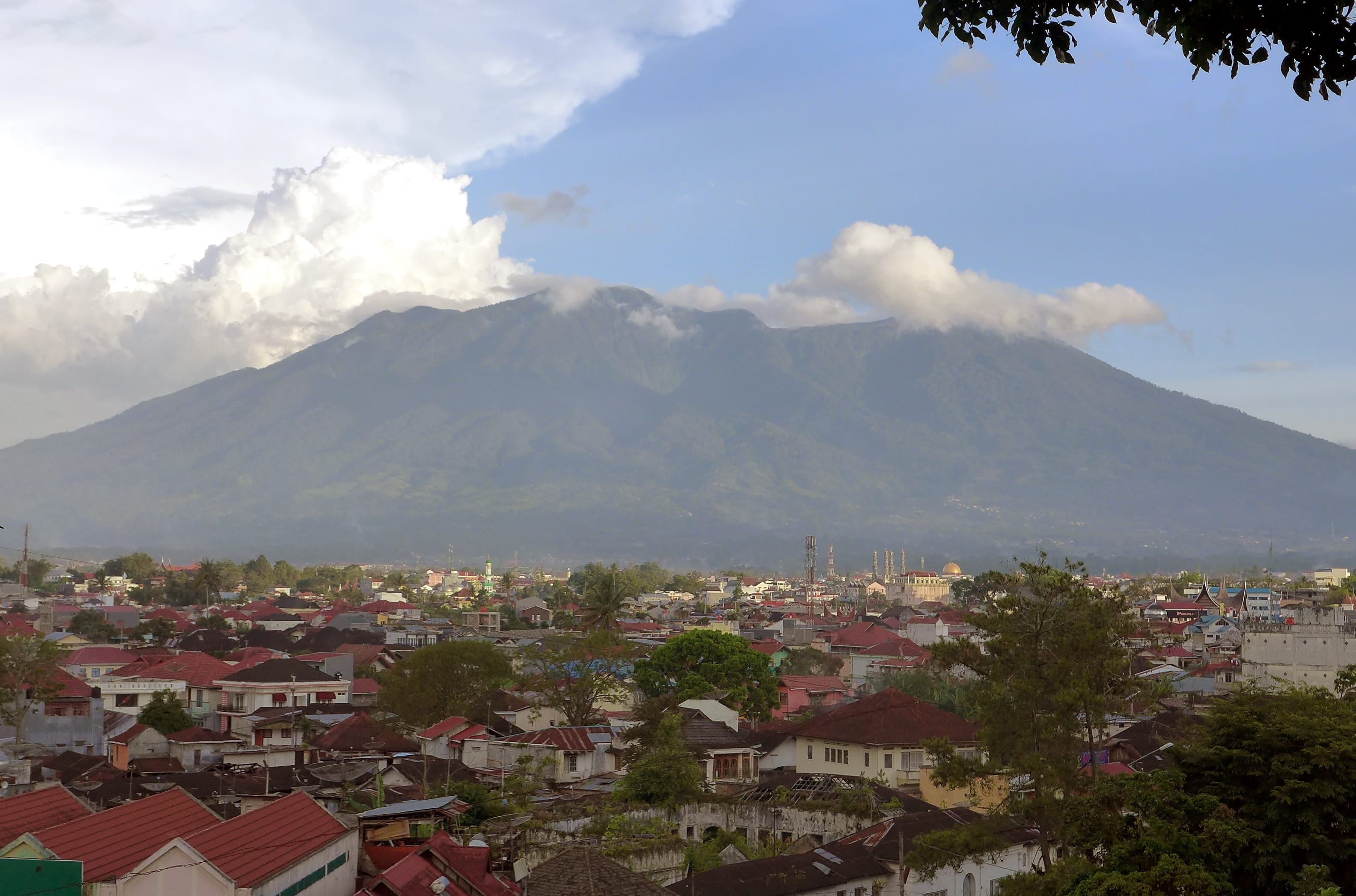
Our next visit was up on to the slopes of Mount Marapi, a volcano that actively threatens surrounding settlements. In this photo it is seen from the town of Bukittinggi.
P1210705

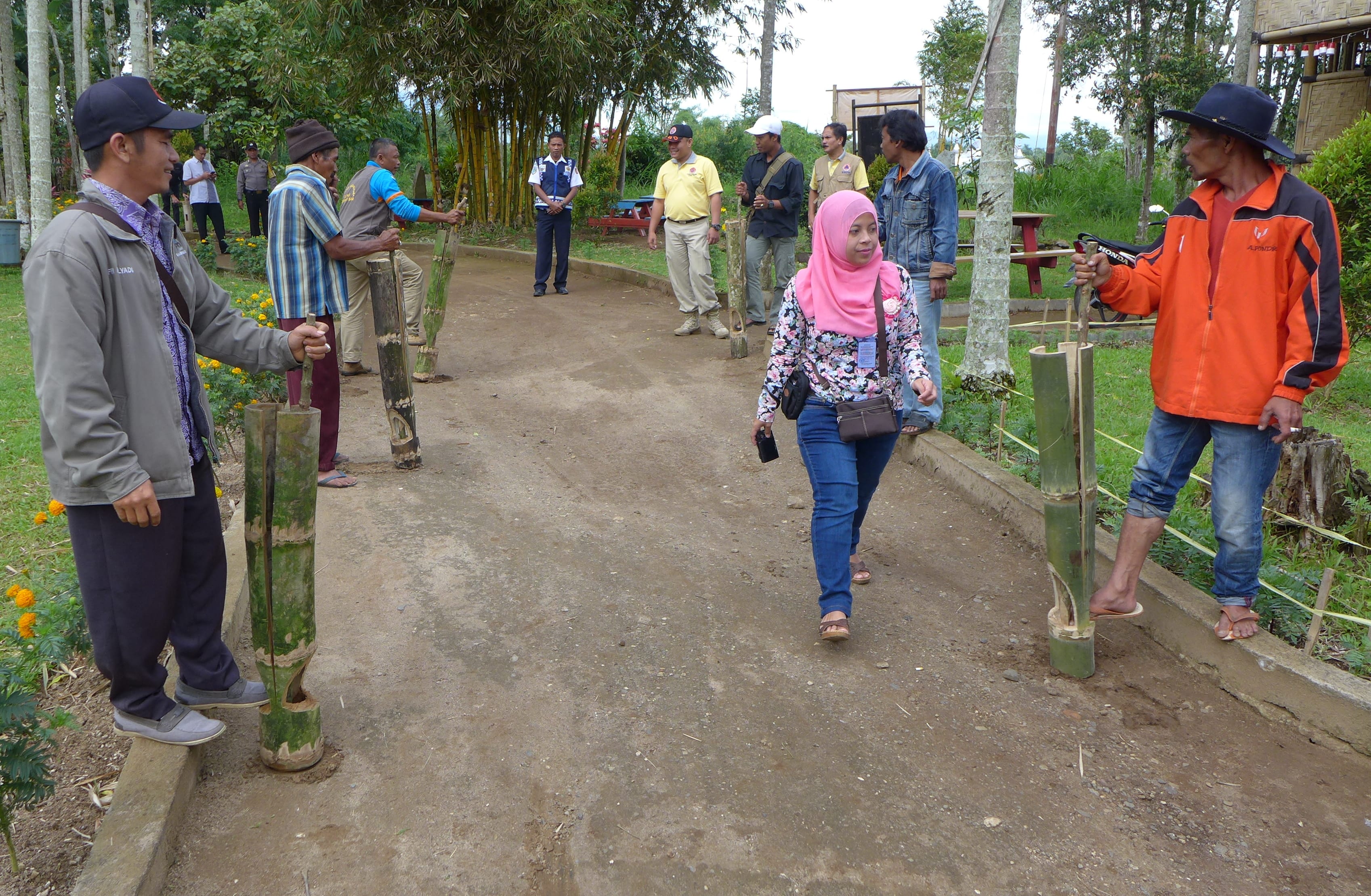
We were welcomed to Lassi village, on Mount Merapi, by the local disaster management group ‘Marapi Alert’ who demonstrated their katentong bamboo ‘clappers’. These make a very loud drumming noise when the handle is pushed back and forth, and are used as an alarm system to relay warnings of volcanic activity from village to village. Cellphones are also used.
P1210732

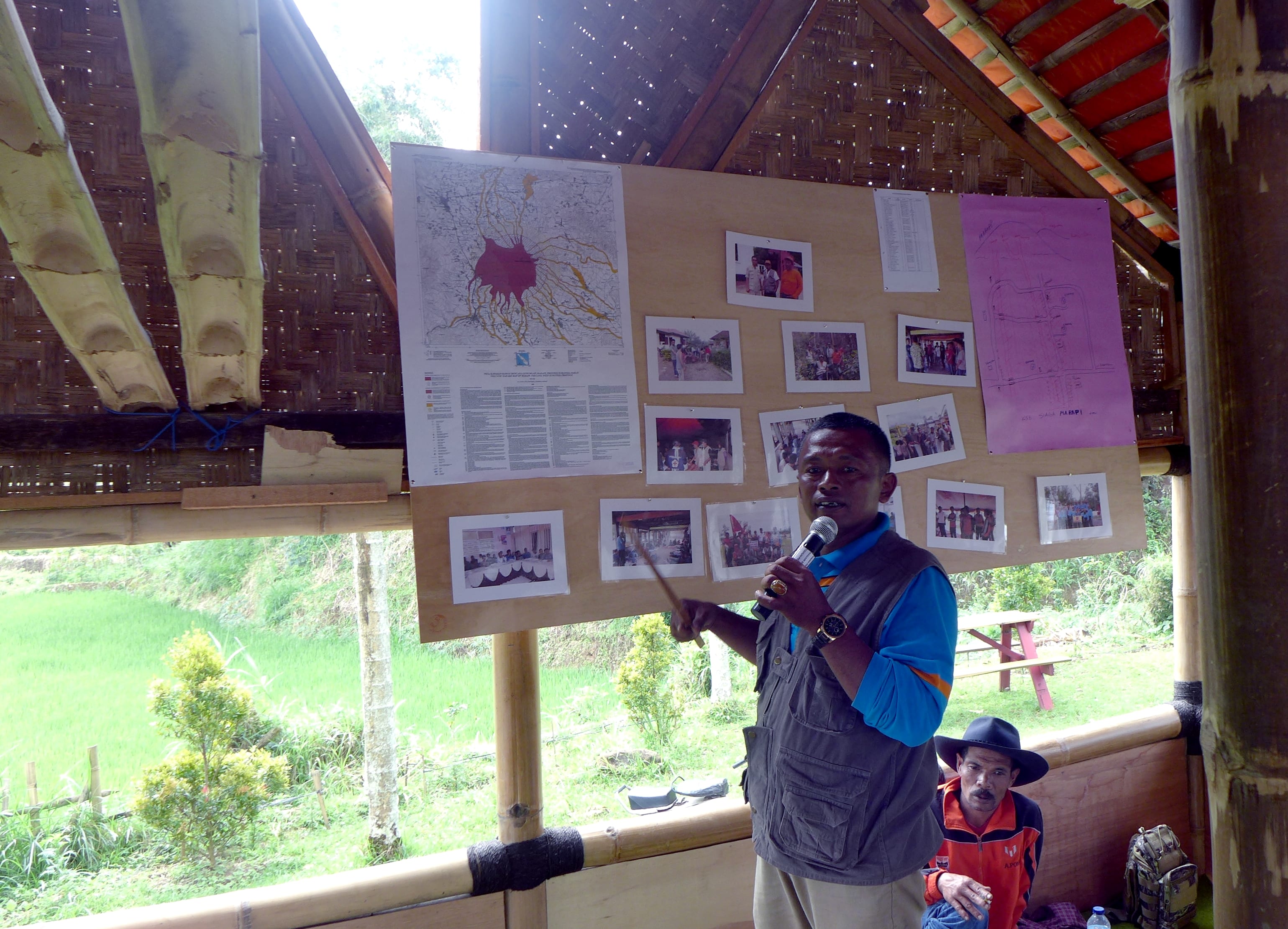
Edi is the local co-ordinator for disaster risk reduction (DRR) activities in Lassi village. Here he explains the local volcanic hazards and about some of the projects that are used to develop local resilience and safety.
P1210782

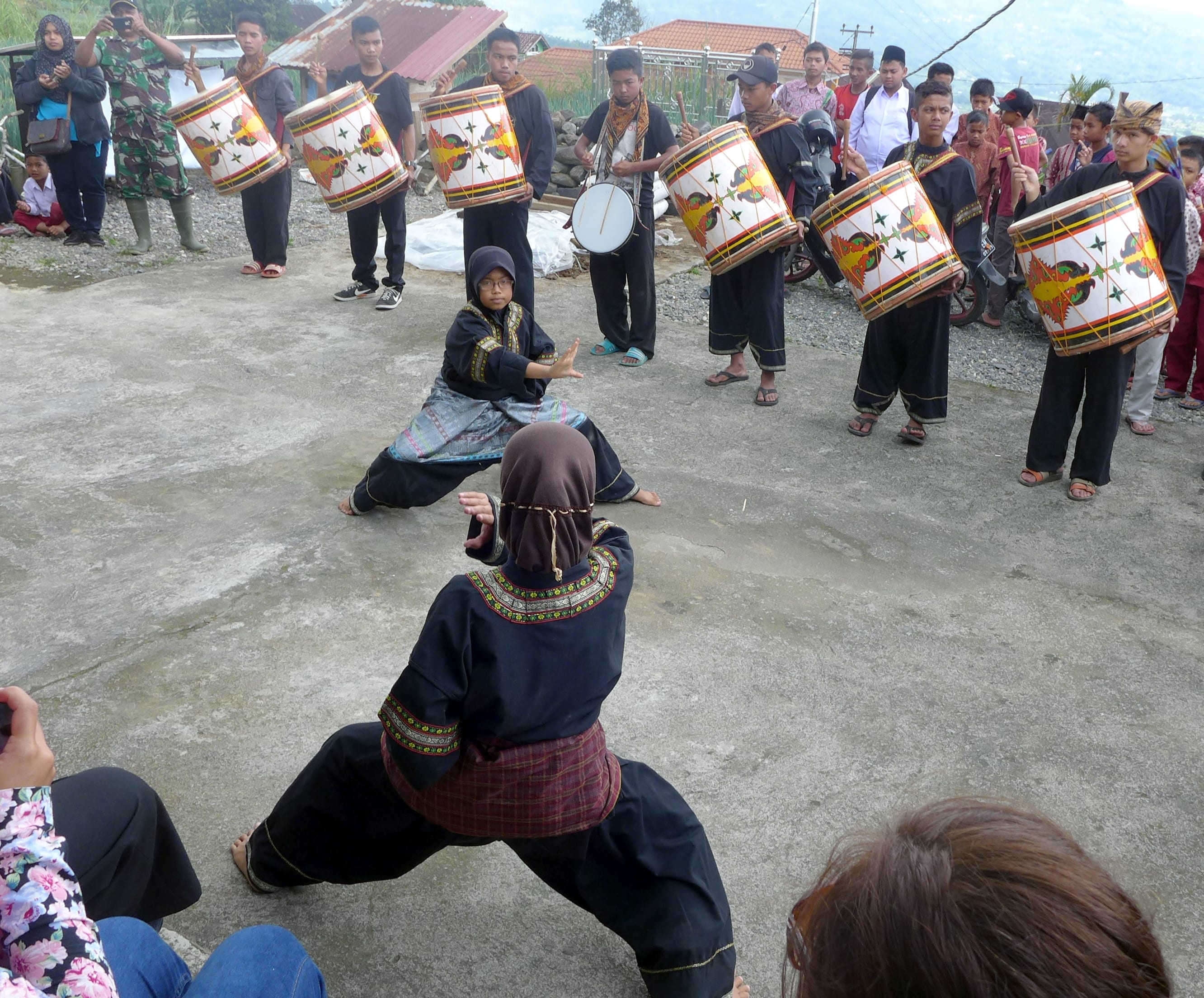
A powerful display of traditional martial arts from two teenage girls accompanied by boys playing the Tambuah Tasa drums at Sungai Pua, Mount Merapi.
P1210843

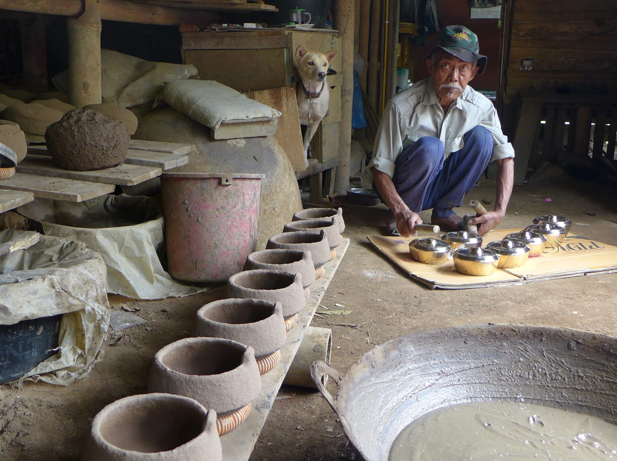
Mr Datuak Mangkato Saripadois a master craftsman of the West Sumatran talempong gongs. His family has been making these classical instruments for nine generations. exports them all over Indonesia and Malaysia.
P1210952

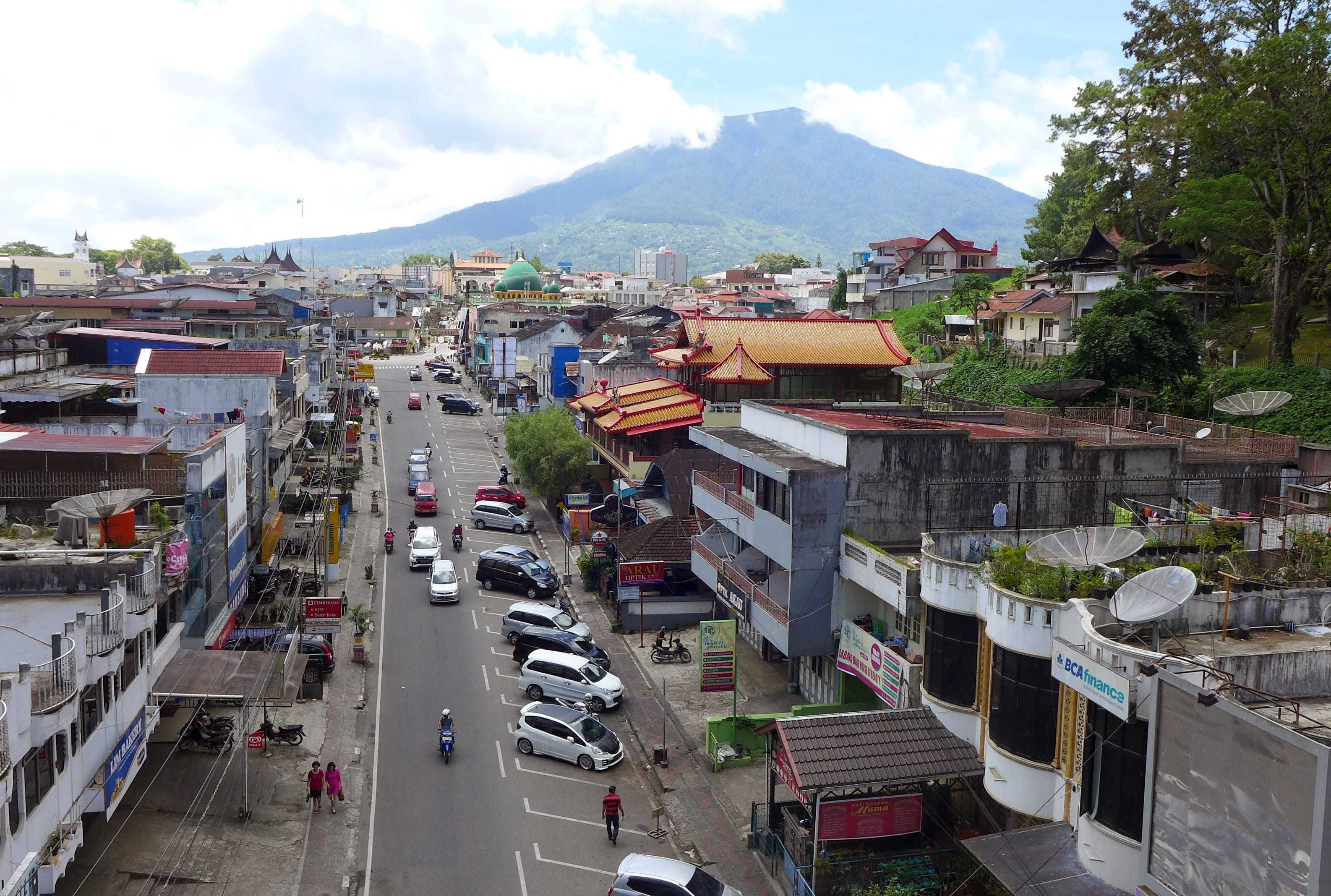
Mount Singgalang is the second large volcano that looms over Bukittinggi.
P1210984

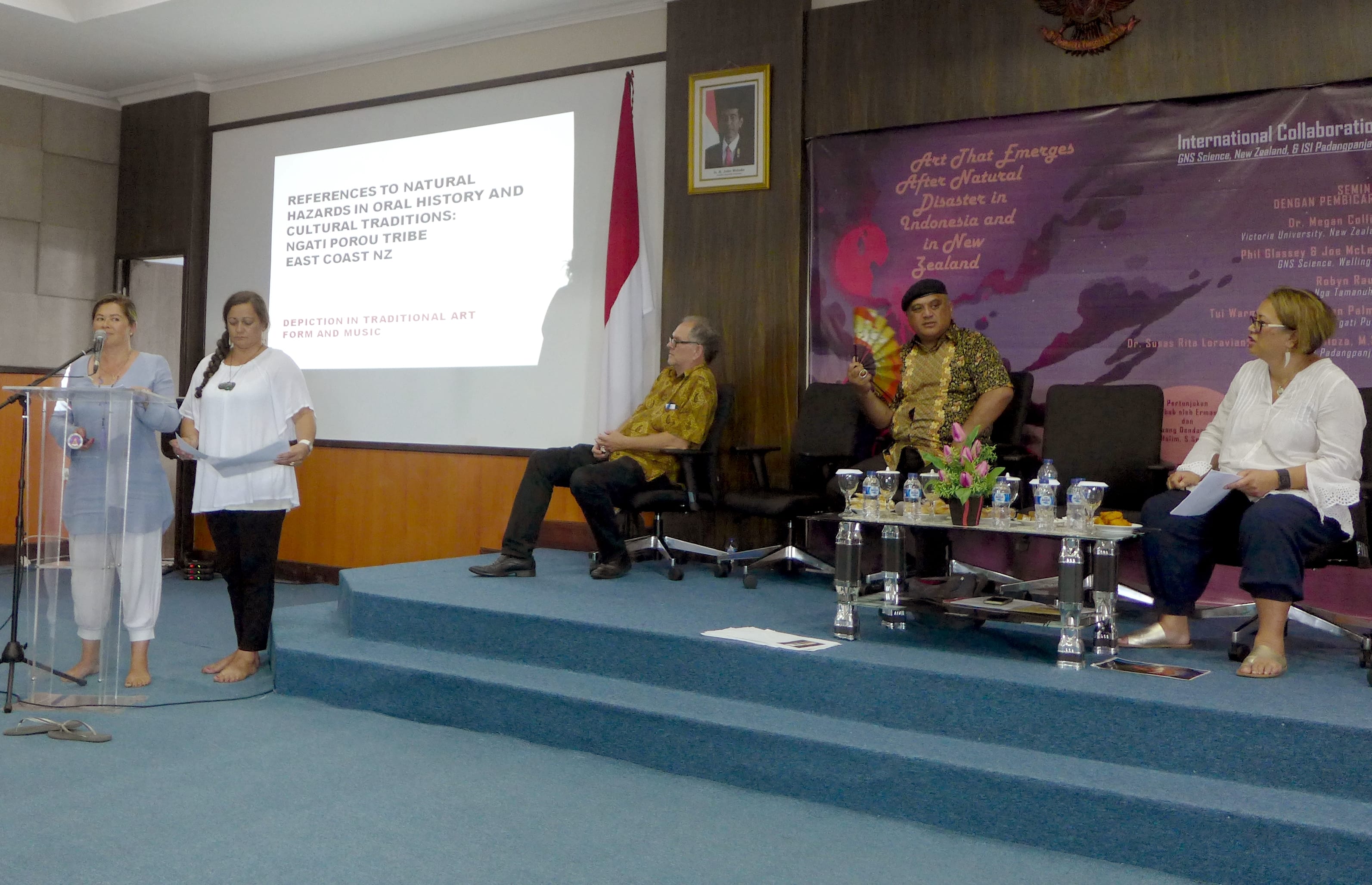
On our final day we visited Institute Seni Indonesia (ISI) Padang Panjang, a Tertiary Arts Institute. We learnt how performers of local music include stories of natural disasters that give information about the particular impacts they had on the lives of people. These stories are even woven into modern pop music and include recent events such as the damaging Padang earthquake of 2009 and flash floods in Kambang in 2011.  Tui Warmenhoven and Jean Palmer give a talk on how knowledge of natural disasters in embedded in Maori traditional stories of the creation of Aotearoa.

Mrs Susasrita Loravianti, Mr Rafiloza from ISI and Megan Collins gave talks about West Sumatran music and dance, indigenous knowledge and disasters.
P1210993

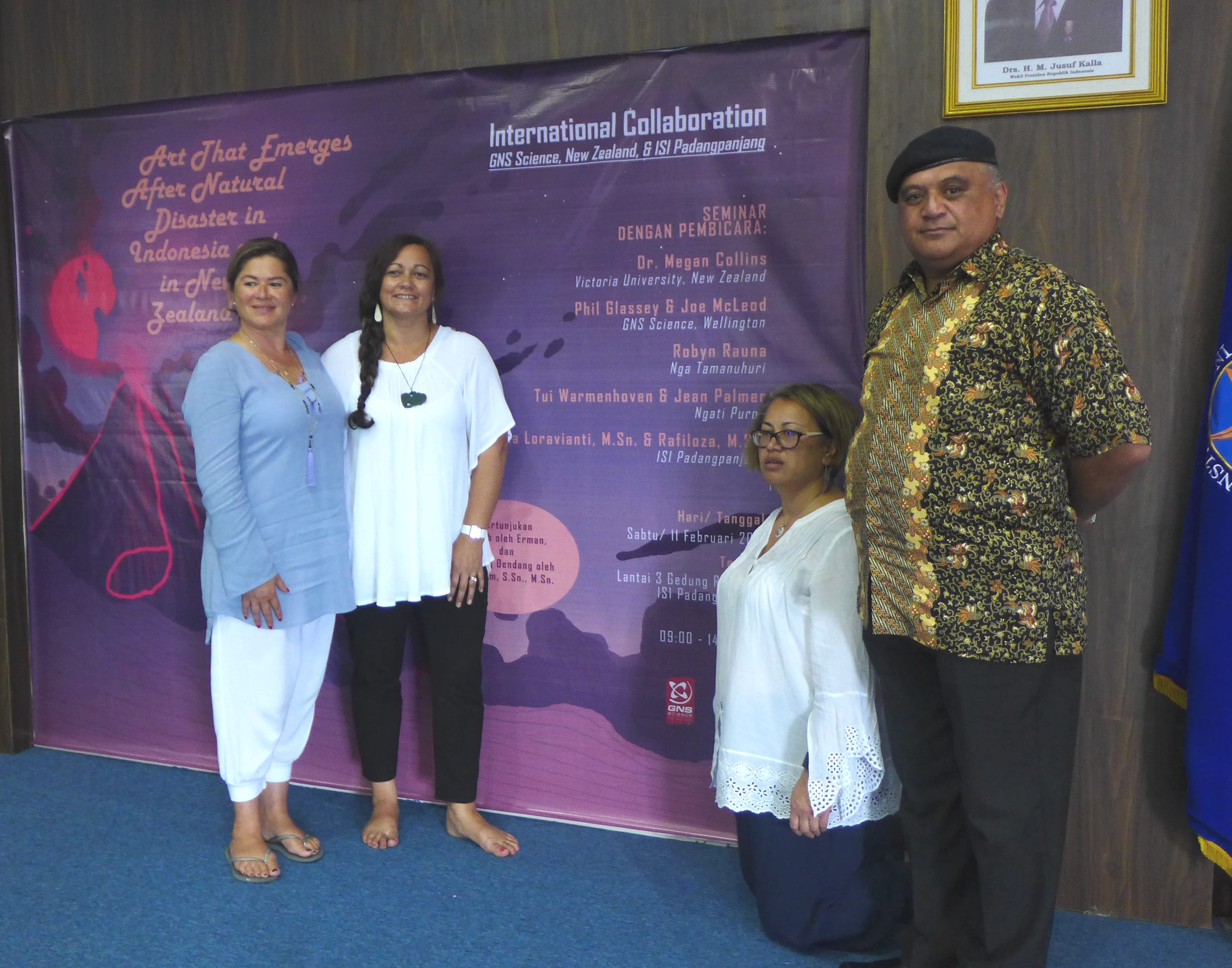
In this photo L to R: Tui Warmenhoven, Jean Palmer, Robyn Rauna and Joe McLeod
 

P1220021

Tsunami Risk Reduction activities a highlight for Comparative Study Tour participants

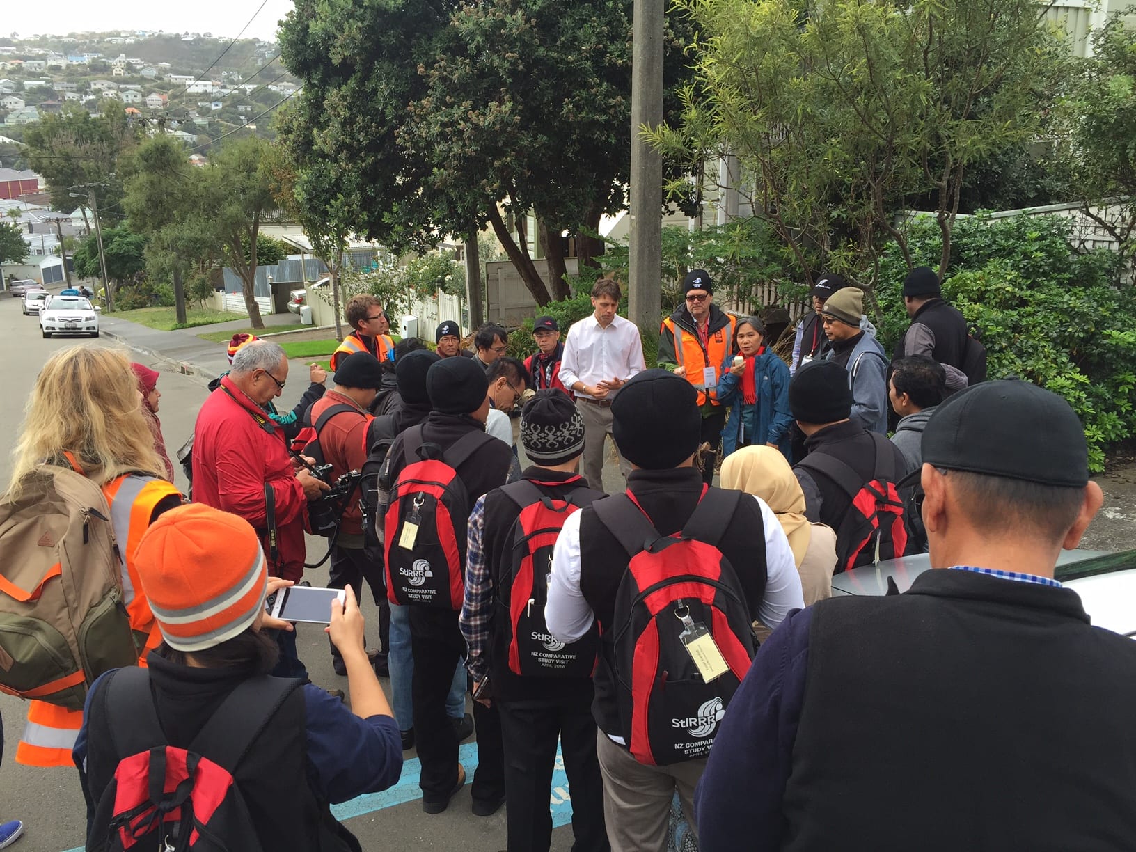
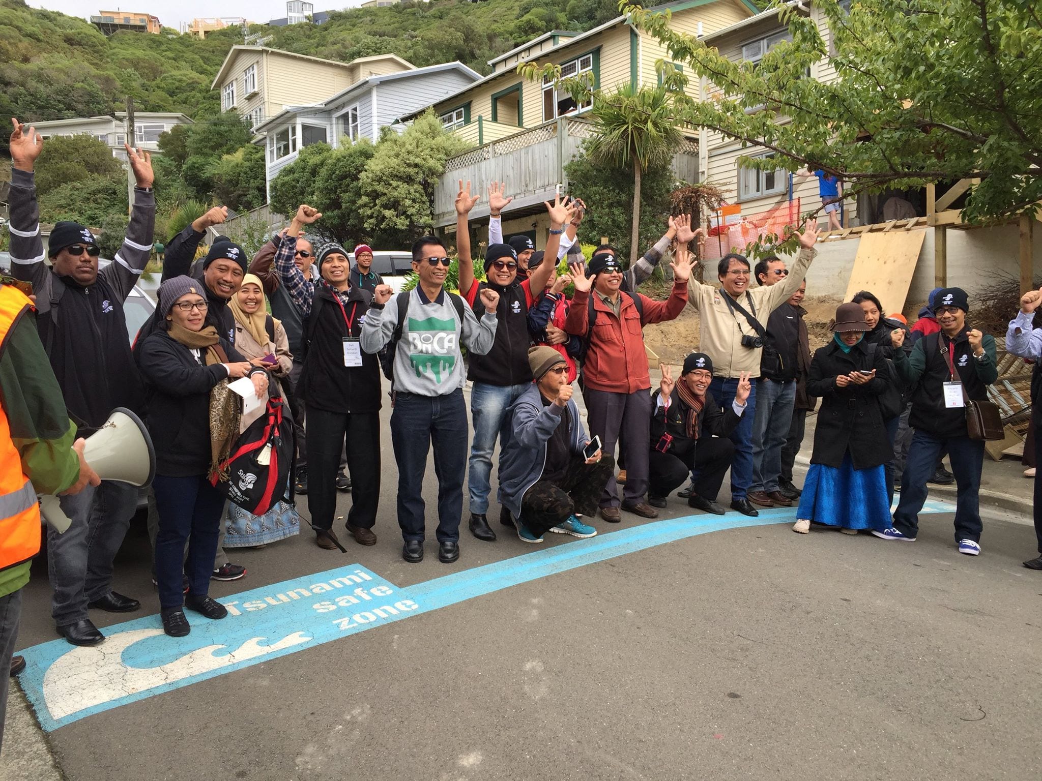
On 8 April 2016, participants of the second StIRRRD comparative study tour learnt about tsunami risk reduction activities in place in Wellington.  Dan Neely from the regional emergency management office (WREMO) provided insight into the internationally awarding winning blue line initiative.  The initiative is much more than blue paint marking the maximum credible tsunami inundation extent.  It provides a platform for communities to understand their potential tsunami hazards, the associated risks and how they might collectively manage these risks.

Participants visited a street in the Island bay community where the blue line initiative was initially developed.  Dan explained that the project has been effective at raising community awareness on what to do in the event of strong, long earthquake; more than conventional signage mounted on poles.  Also, schools in the blue line areas have conducted evacuation drills with one school fundraising to construct a staircase so children and staff can evacuate quicker and more safely in the event of an earthquake.

12970911_445678162292247_173235114273732604_o
In the tsunami safe zone! StIRRRD comparative study participants learn about the Wellington blue line initiative.

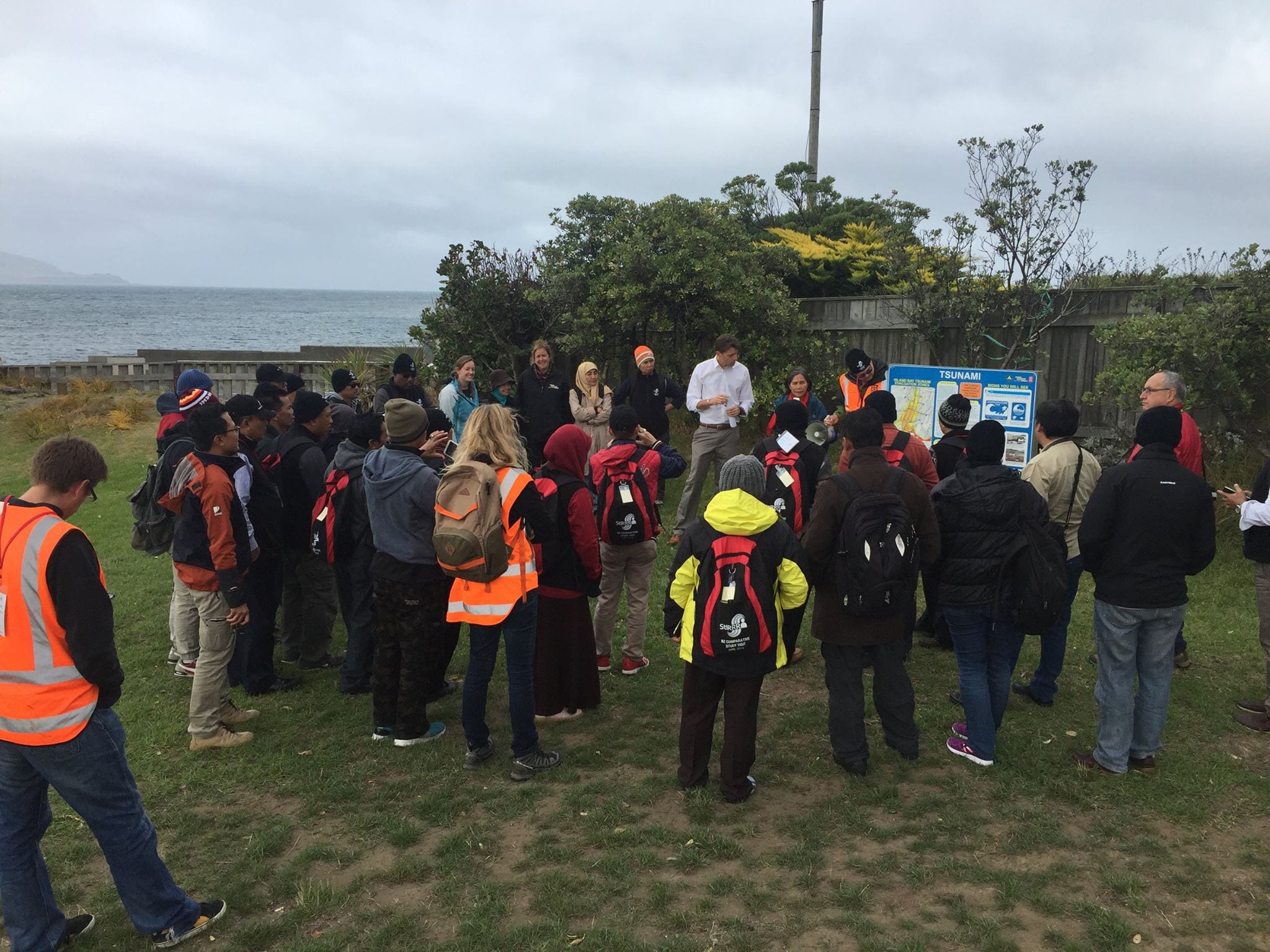
Near the coast in Island Bay, Dan showcased public education messageboards that have been erected in locations where the public gather, such as playgrounds.  These strategically placed boards provide information on evacuation zones, key routes and what to do in the event of an earthquake.

There was substantial discussion from our Indonesian participants and many questions on implementation of the project.  These discussions continued on the following day where participants presented their draft DRR action plans, some of which had been amended to include similar community-led initiatives.

12961398_445678245625572_8979638481421607535_o
Study visit participants are briefed by Dan on Island Bay tsunami risk.

Other StIRRRD districts, including thos from the 2015 comparative study tour, are also considering similar projects.  Pesisir Selatin has been in discussion with StIRRRD team members on how they might apply the blue lines project in their local context.  Support by BNPB, the national disaster agency, the role out of this project would be a first for Indonesia.  Watch this space!

NZ Study Visit 2 report

Seluma – observing hazard and risk issues in the field – by Kate Crowley

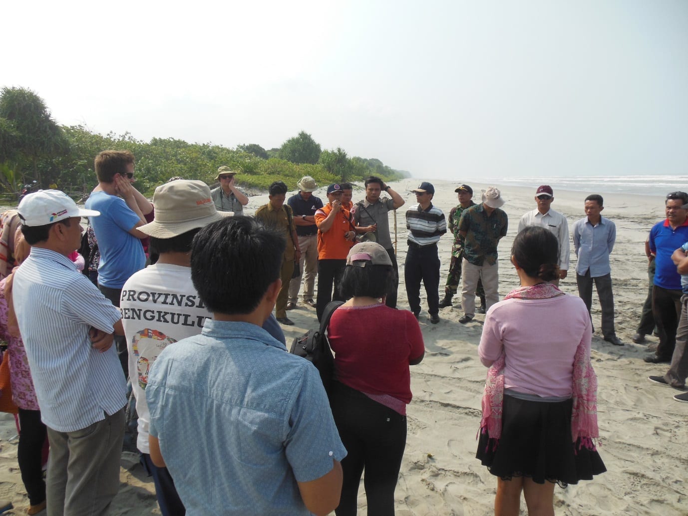
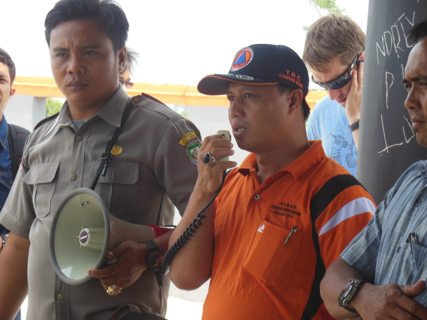
As part of the DRR Action Plan workshop held in Seluma, 25–26 August 2015, we had a half-day field visit organised by the local emergency management office (BPBD). It was an opportunity for them to show some of the hazard and risk issues they face. Our party consisting of local government staff and university researchers, set off from Pasar Tais just after 8 am and travelled towards Pasar Seluma on the coast. Soon the tarmac road ran out and gave way to a rolling dirt track worn to rubble, which took us through a cross section of Indonesian life from the bustling town to the gentle padi fields. But the watery green terraces are slowly being eaten by groves of palm oil. Busy villages line the road, hinting at the thousands of people who live in this area near the coast. Initially hidden by the palms a great expanse of beach opens out. Here, we are provided an informative presentation by the head of the Preparedness section of the BPBD, Aziman. He describes how they have recently mapped the tsunami hazard in this region and will be using this map in risk reduction planning going forwards.

BEACH

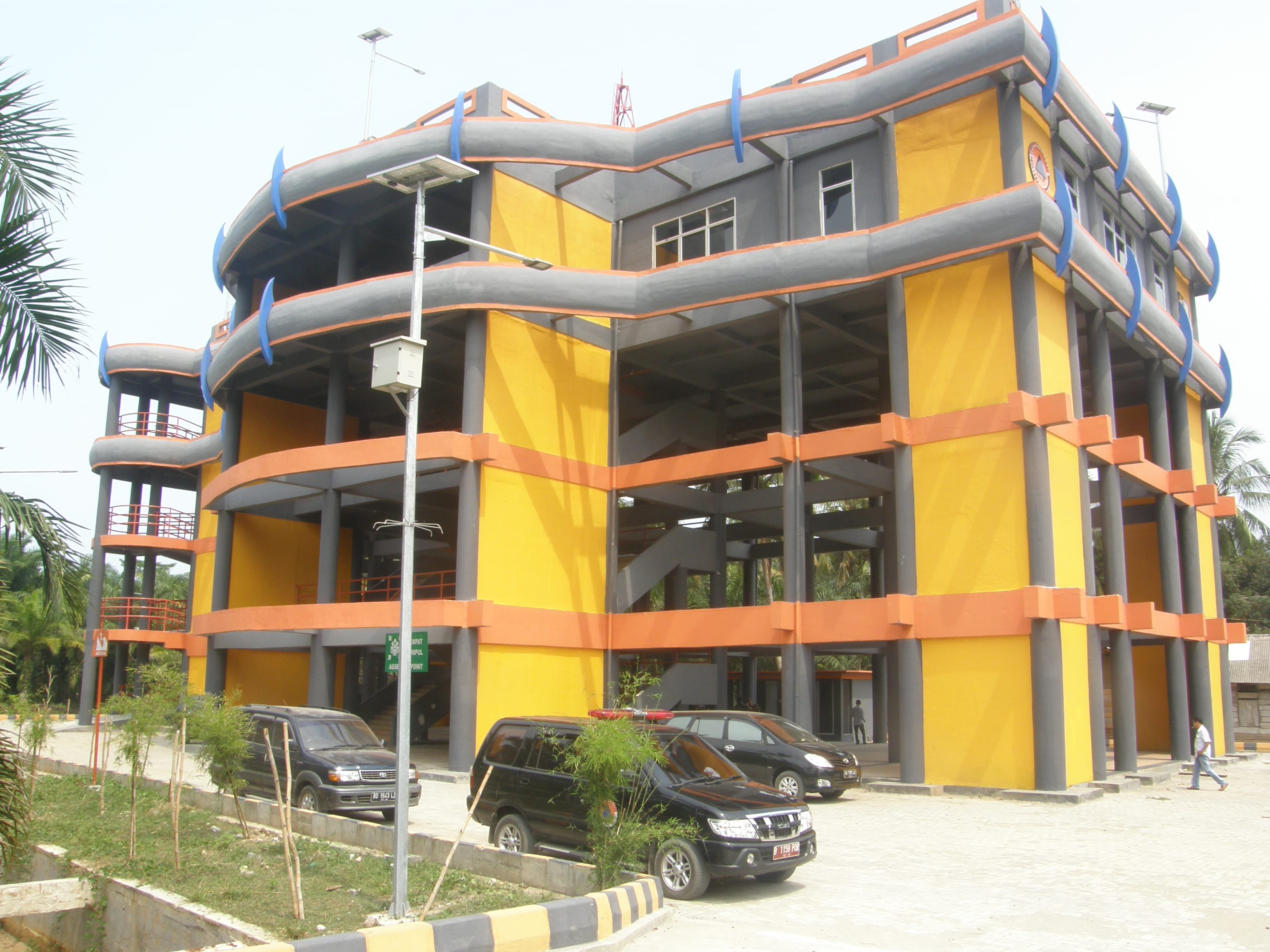
He expresses his concerns that although the national government have built a tsunami shelter, it can hold only 3,000 people. There are many villages that line the 70 km of exposed coast of Seluma and he estimates that they would need 10 tsunami shelters to sufficient provide a safe refuge for them all. The drive from Pasar Tais to the beach is across broad flat coastal plain, which makes tsunami evacuation challenging. Vertical evacuation is a sensible option, but the lack of multi-storey buildings means that purpose built structures, although expensive, are the only option.

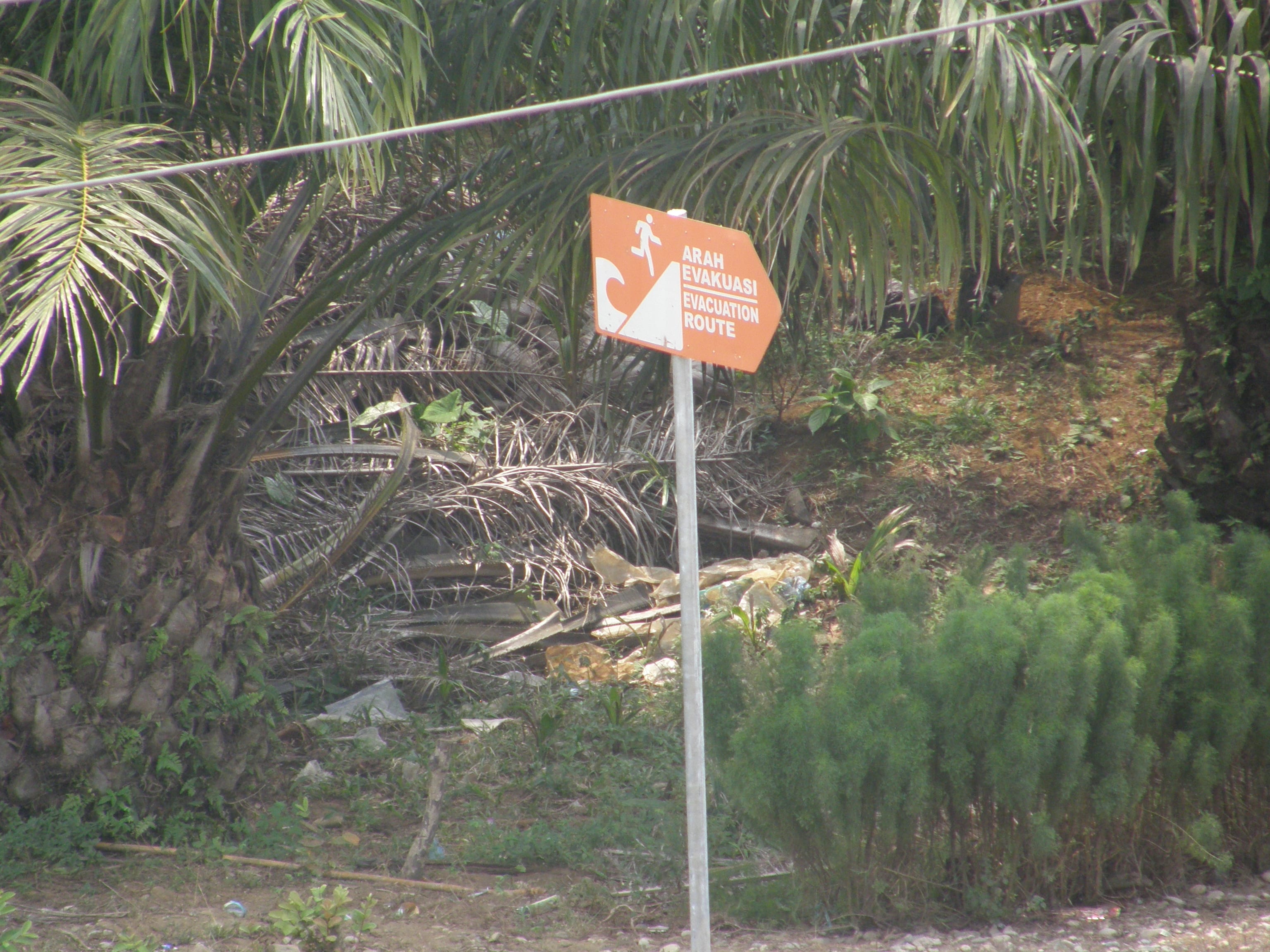
Following a ‘bread crumb’ trail of tsunami evacuation signs our dusty convoy travelled on to the purpose built tsunami shelter.

OLYMPUS DIGITAL CAMERA

Exploring this large structure it becomes clear that it is purpose built. It is a solid, open structure and a ramp and broad stairs enable those who are frail, young or disabled to access the higher floors. Toilets are provided on the third floor and solar panels are in place to provide lighting at night. This is an impressive undertaking, following a national standard and is very similar to the one observed in Kota Bengkulu.

OLYMPUS DIGITAL CAMERA

However, the local emergency managers are still waiting for an official handover of the building from the national government before they can start using the building and implementing their community awareness plans. The building could be used as a local community centre, a market, or even a school and this would enable the community to become familiar with the structure and put it to good use.

Click the links here for a videos of a similar shelter in Kota Bengkulu, under construction and finished.

The aim of this second phase is to support the local community to be resilient, enabling them to identify the warning signs of a tsunami and know where to go and when. This outreach is aligned with support for their livelihoods under the “Resilient Village” government program.  It is a holistic approach that aims to improve the lives of those living in the area now and in the future.

SHELTER TALK

Tsunami is not the only hazard that impacts this area. The workshop participants have also identified floods, earthquakes and landslides. Participants noted that they are used to the frequent small earthquakes that shake the surrounding countryside, and they rank earthquakes as the biggest threat. The fear of ‘the large one’ is real.

Our final stop demonstrates the power of a frequent and rapid onset hazard – flooding. We visit a small village that last month woke to find devastation on their door step. Overnight heavy rainfall upstream, in the “dry” season, caused the near-by wide and shallow river to swell and overtop its banks. Flood waters up to 4 m in depth swept through the palm oil plantation and three villages were flooded. Despite the flood occurring rapidly, over only 2 hours, no one was hurt but many lost their belongings.

The field trip provided an insight into this districts progress towards resilience. Just like the road we travelled together today, the path of disaster risk reduction is at times rough and slow but the journey is always worth it.

StIRRRD New Zealand Comparative Study Field Trip: Wellington-Taupo-Rotorua 13-14th June 2015

The Comparative Study Programme finished with a two day field trip from Wellington to the central North Island exploring landslide and volcanic hazards, monitoring and early warning systems. Mike Page and Brenda Rosser from GNS led the field trip with assistance from Nico, Phaedra and Noel.  We left Wellington in glorious sunshine which unfortunately did not continue as we drove north. Continue reading StIRRRD New Zealand Comparative Study Field Trip: Wellington-Taupo-Rotorua 13-14th June 2015

Tsunami Vertical Evacuation Building

P1030977Near Bengkulu, in Sumatra (see map), we visited a massive concrete construction in the process of being built. It is located in a heavily populated flat area about a kilometre from the coast. This is going to be the local  safe haven for people  to escape to when a tsunami threatens. It is a huge structure (see video) that towers above the surrounding sprawl of single story buildings.

Continue reading Tsunami Vertical Evacuation Building

Earthquake recovery in Gol village Lombok

Earthquake damage, Gol

During our visit to North Lombok, we went on a field visit to a small ‘sub village’ called Gol, near Medana in the Tanjung sub  district.

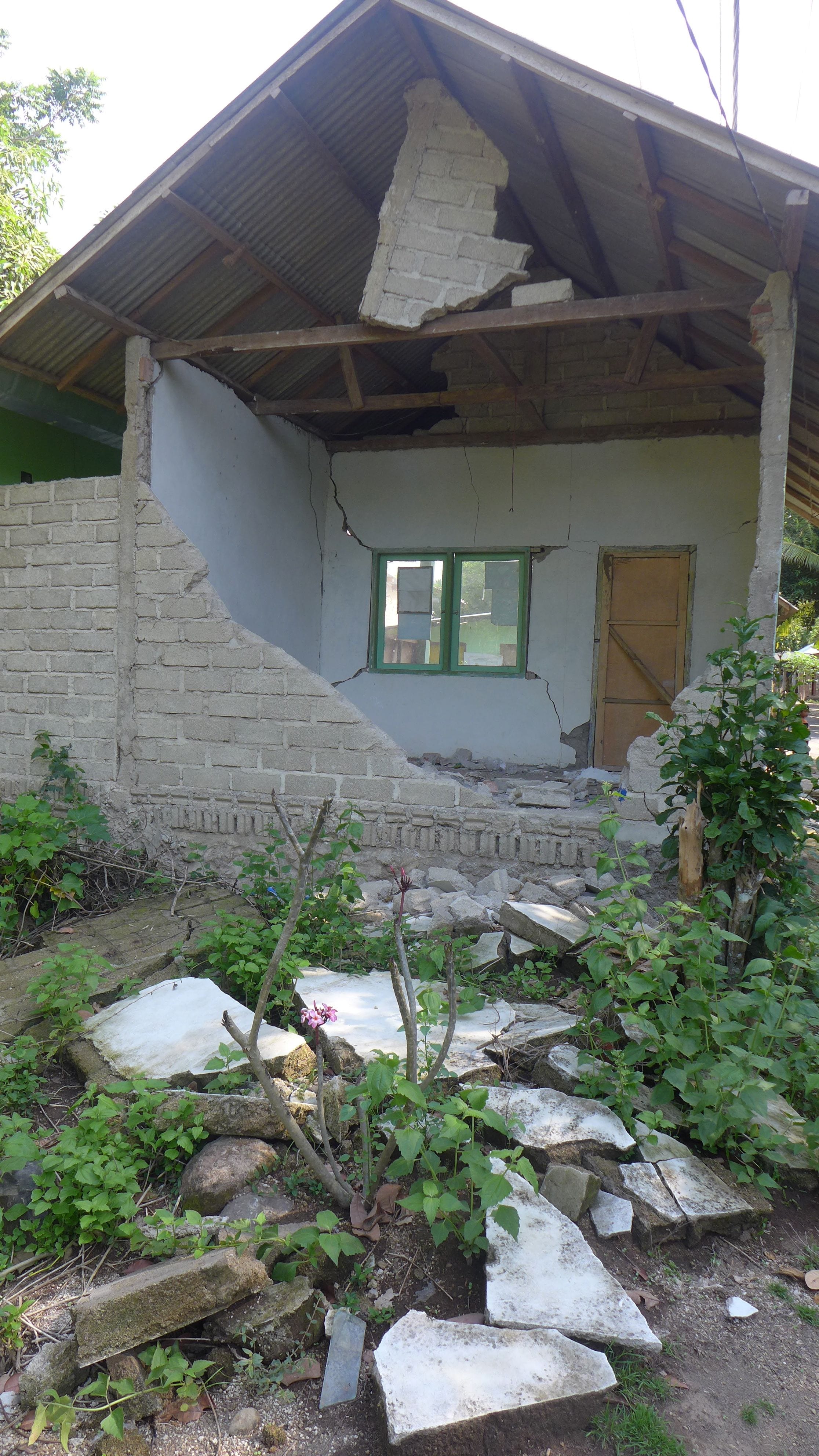
About a year ago, Gol village suffered badly during a relatively small (M5.1) earthquake. 160 houses were completely destroyed by the ground shaking, which was described as mostly a single jolt that was all over in about 5 seconds. A total of about 6000 other houses were destroyed in the surrounding district.

Continue reading Earthquake recovery in Gol village Lombok