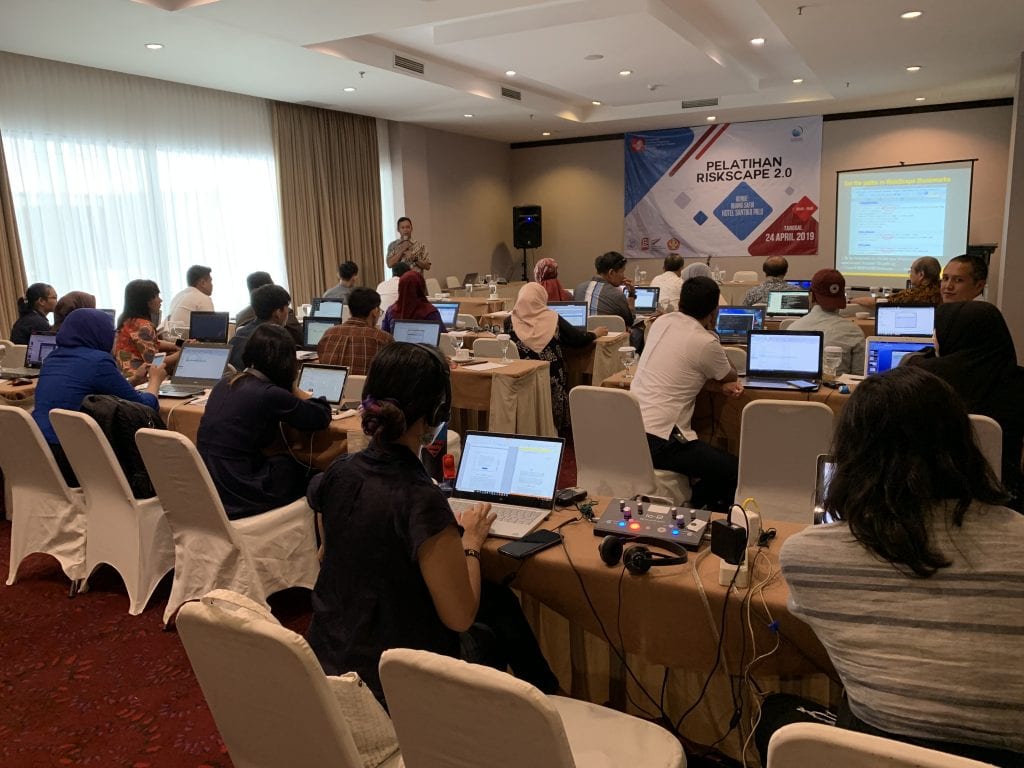
RiskScape 2.0 made its international debut at a workshop preceding the International Conference on Urban Disaster Resilience in Palu, Sulawesi, on 24 April 2019. RiskScape is an impact and loss modelling tool that performs complex calculations quickly and simply, providing outputs that assist in decision-making.
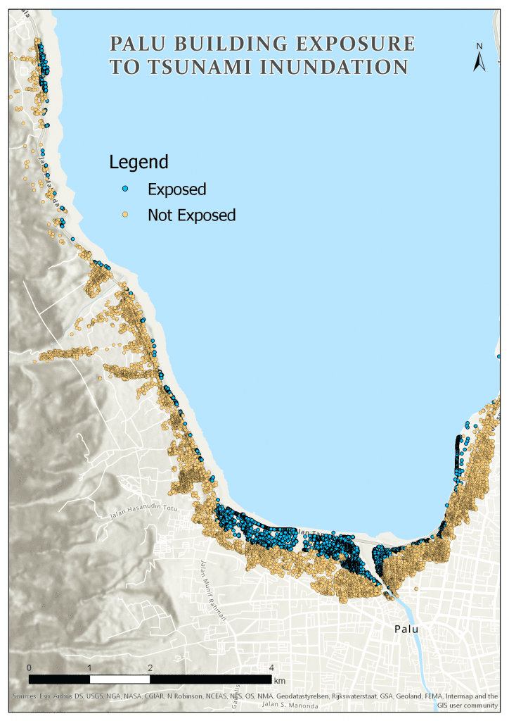
The workshop was a full-day event, covering the concepts of risk and impact modelling, the evolution of RiskScape from version 1 to 2, and using RiskScape 2.0 to assess building impacts from a tsunami affecting the coastal areas of Palu. The tsunami hazard modelling used was an approximation of the inundation extent of the 28 September 2018 tsunami, which devastated the coastal areas of Palu and Donggala. Approximately 30 participants from diverse backgrounds, including the Universitas Tadulako, Universitas Gadjah Mada and Palu City local government, attended the workshop.

Depending on user preferences, the RiskScape software was provided in two languages: English and Bahasa Indonesia. Participants came prepared with their own laptops. The current version of RiskScape is a command line interface, which requires users to type in commands rather than interact with a graphical user interface (planned for development later this year). Despite the learning curve, participants were able to successfully run the software and visualise the results using GIS software.

The workshop was not only the first time RiskScape 2.0 had been used outside New Zealand, but the first time it had been demonstrated and used beyond the research and development teams. Participants were highly engaged throughout the day, and there was significant interest in how the software could assist with decision-making. The case study of tsunami inundation in Palu served as a useful example of the applicability of the tool to the local context.

