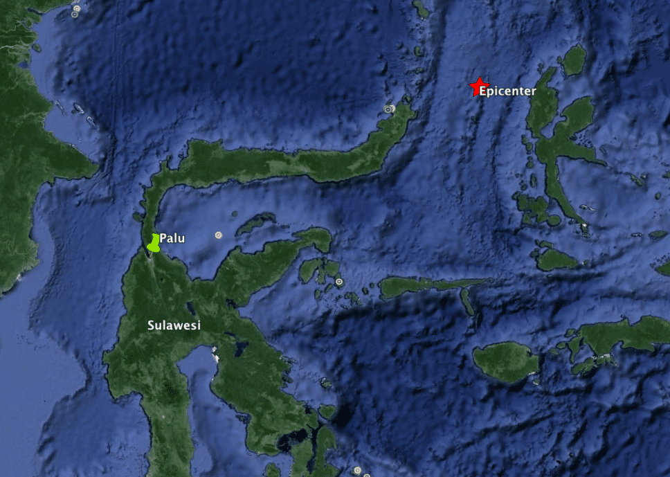
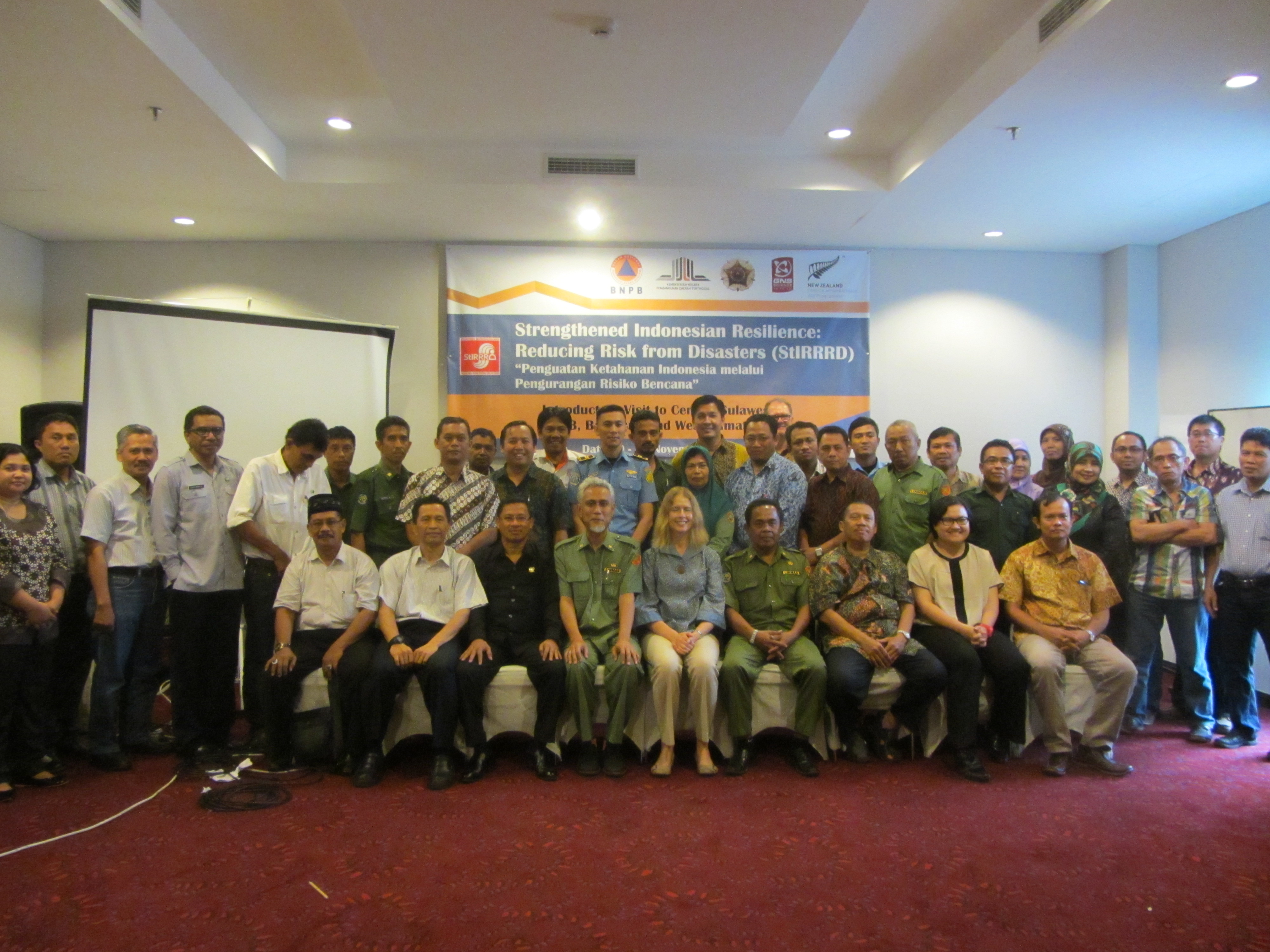
For some, it wasn’t easy to get to Palu for the Risk Modelling training conducted in Palu 19 – 23 October 2015. Smoke from wild fires closed Palu Airport, and a few participants, and some of the training team missed the first day. Contingency planning wasn’t in place for such an event. Perhaps the economic losses and disruption to people from wild fire in Indonesia could be included in the future risk modelling. Tragically, some hikers died in a wild fire in Java on the day before the workshop. Flights were cancelled many times during our week here and we weren’t sure we were going to get flights out.
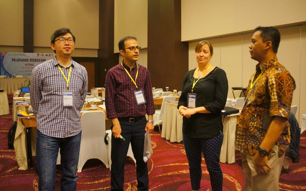
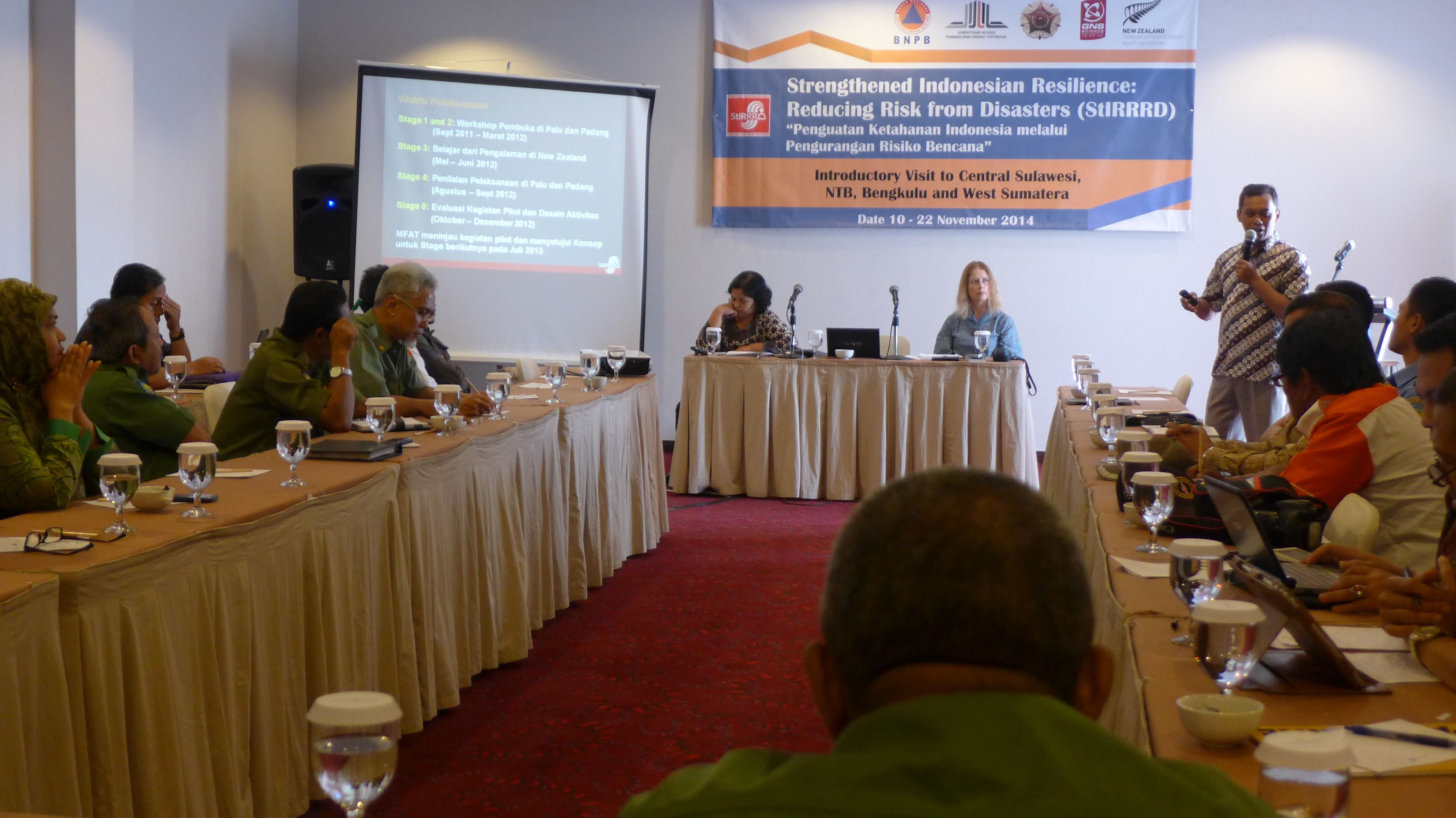
The training was facilitated by members of the RiskScape team Kate Crowley (NIWA), Sheng-Lin Lin and Mostafa Nayyerloo (GNS Science) along with members of the StIRRRD team from UGM ( Agung Setianto, Iman Satyarno, Wahyu Wilopo). Gumbert Maylda Pratarma from UGM provided able logistic support.
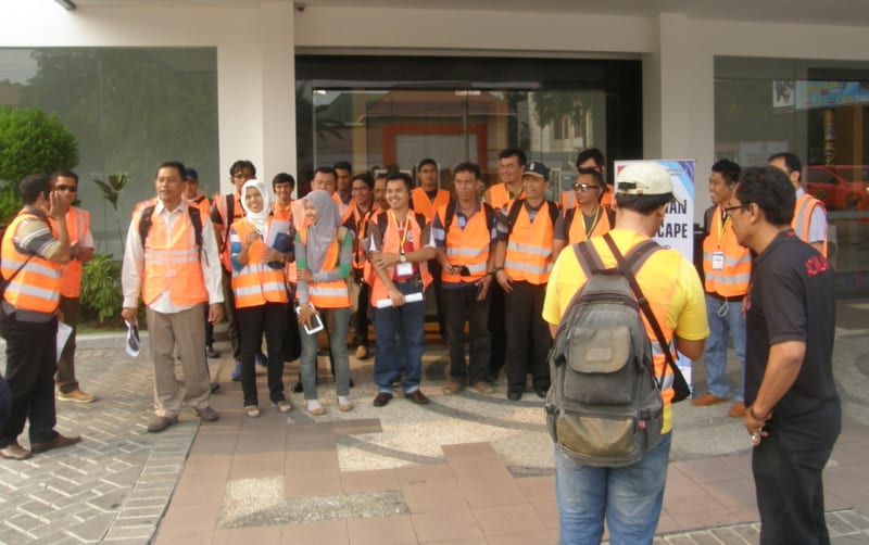
About 40 participants attended the training coming from the 4 universities that are part of StIRRRD project; Tadulako University (UNTAD), Andalas University (UNAND), Mataram University (UNRAM), and Bengkulu University (UNIB), and from the Emergency Management, Planning, and Public Works offices of Palu, Donggala, and Morowali, Padang, Agam, Kota Bengkulu and Mataram.
The training started with the fundamentals of Risk – Hazards, the exposed Assets (buildings, infrastructure and people) and the interaction between the assets and population and the hazards, known as the Vulnerability. RiskScape is the tool that combines these to calculate the impacts of hazard events in terms of damage and casualties, and the trainees were given a quick look at how the tool works.
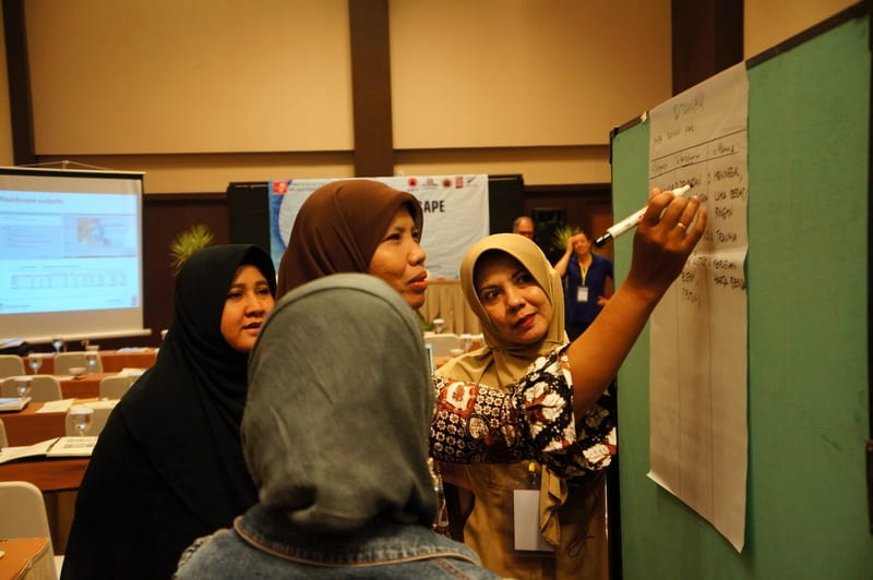
To reinforce risk fundamentals, group exercises were used to discuss how risk modelling could support DRR activities in their districts and to list the possible impacts of hazards on the exposed assets.
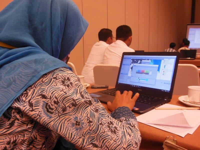
For the more technical minded, a look under the hood of RiskScape enabled them to see how hazard layers and vulnerability functions can be loaded into the tool. Concurrently, the remainder discussed the development of hazard values and the basics of developing measures of vulnerability.
This led into a discussion about the asset information required, including building and infrastructure attributes and typology, as well as population data, and involved a demonstration of the RiACT tool (Real Time Asset Collection Tool), to be used the next day in the field exercise. Being in Palu, Tadulako University had helped with organising the training, and had gathered significant asset data prior to the workshop using paper forms, the results of this survey presented by Dr Ketut of Tadulako University.
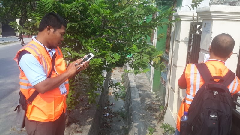
The following morning one half of the group went into the streets of Palu, armed with tablets to collect asset data using the RiACT tool. They collected 75 assets in 2 hours work and downloaded them to a database server.
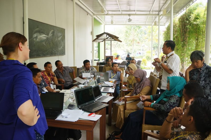
The remaining group worked through RiskScape tutorials and discussed ‘what if’ scenarios. They also came up with questions/scenarios that they might wish to have modelled in RiskScape to assist in Risk Reduction investment, and the data they would need to do so. These scenarios provided the basis of RiskScape Indonesia action plans to be developed later in the training. The groups swapped sessions the following morning.
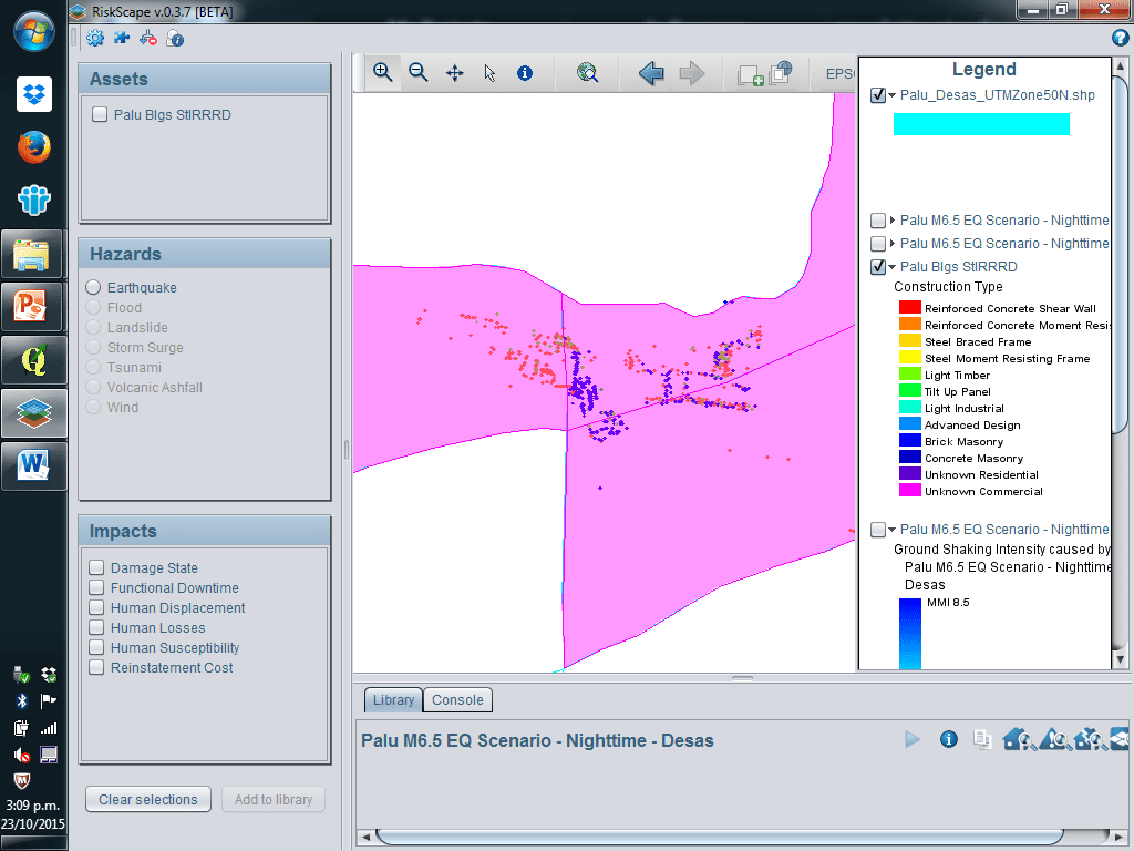
Using the data they had collected, and earthquake hazard scenario and vulnerability functions from New Zealand, a Palu earthquake scenario was modelled using RiskScape.
The final sessions of the workshop were devoted to developing actions to take the training forward to develop and model the scenarios developed through the workshop. These will require collaboration between the district government departments and the universities involved. Tadulako University and Palu indicated they had data and resources and were ready to go, especially with the asset data collection.
Via the network established here, risk modelling in Indonesia can be developed and inform Disaster Risk Reduction decisions and investment.


