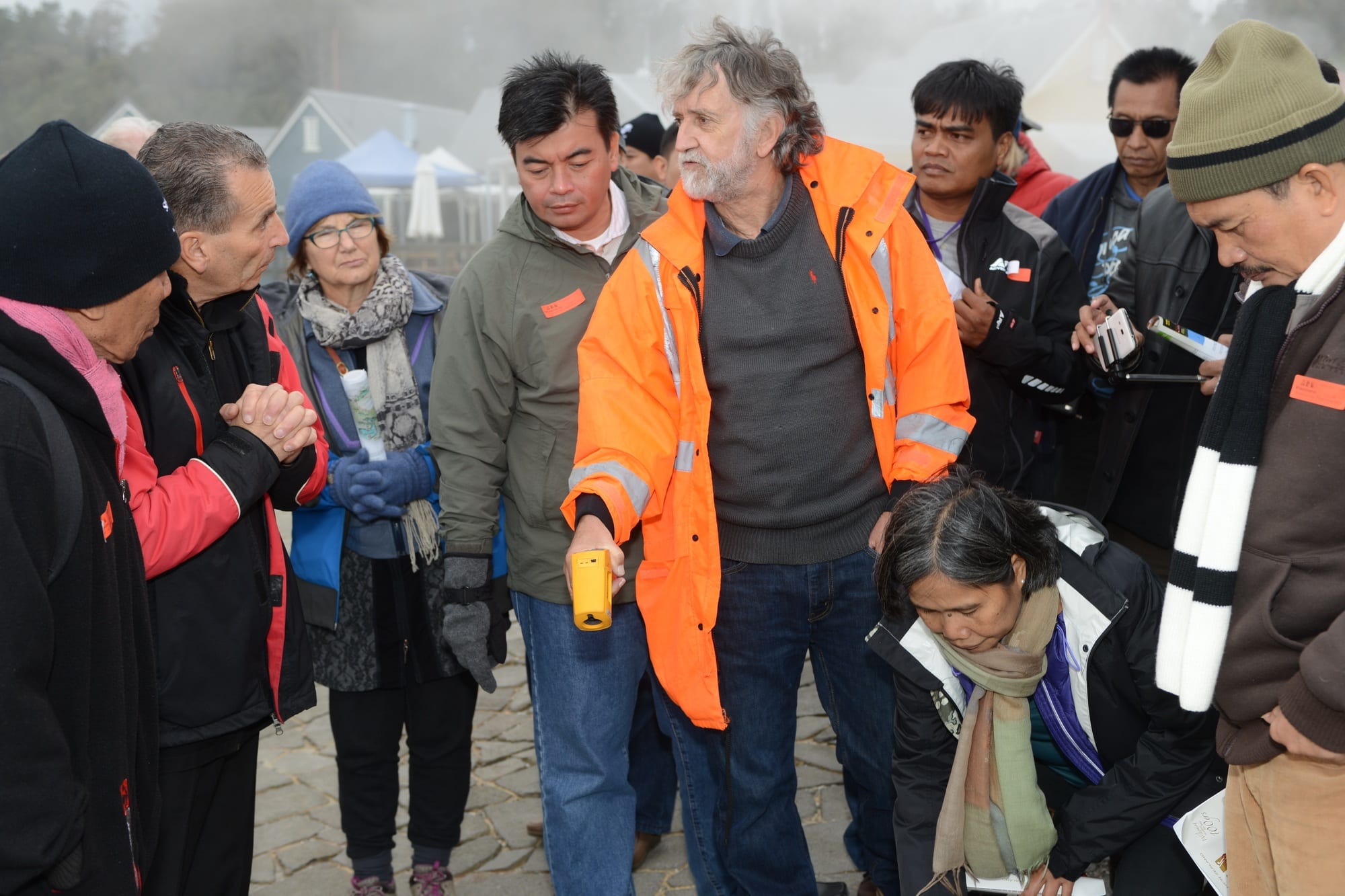
The Comparative Study Programme finished with a two day field trip from Wellington to the central North Island exploring landslide and volcanic hazards, monitoring and early warning systems. Mike Page and Brenda Rosser from GNS led the field trip with assistance from Nico, Phaedra and Noel. We left Wellington in glorious sunshine which unfortunately did not continue as we drove north.
The early stops focused on land stability issues, the steep coastal escarpment between Pukerua Bay and Paekakariki with the road and railway squeezed in between the toe of the slope and the ocean. This coastline has a recent history of landsliding and slope instability problems as well as evidence for several large prehistoric landslides, possibly caused by large earthquakes. Significant damage from flooding and slips occurred along the Kapiti Coast on 3rd October 2003 following a severe rainstorm where >82 mm of rain fell in 4 hours.
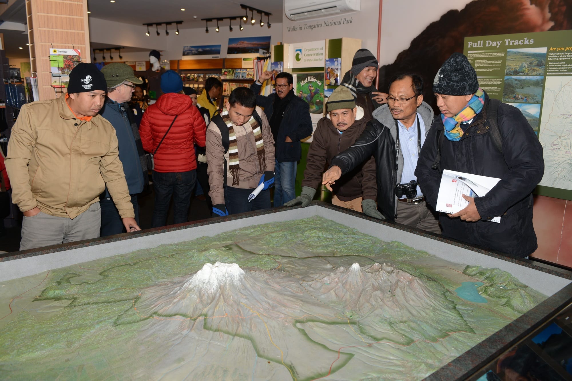
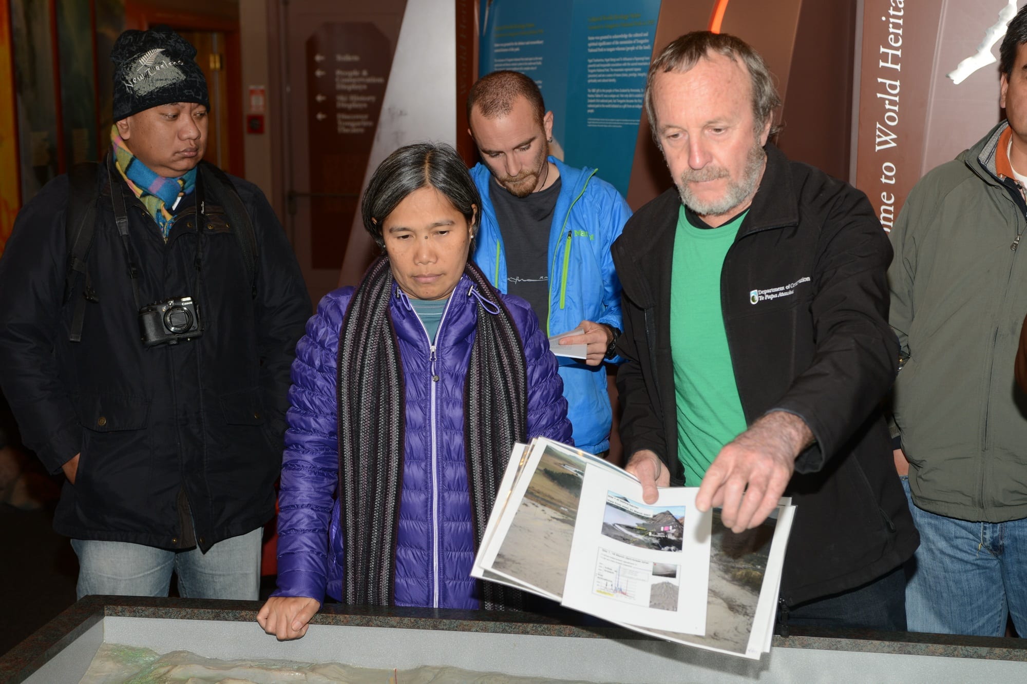
There were no volcanoes to be seen due to the weather, we also didn’t see any snow flakes but they can’t have been much further up the mountain. We had a very interesting stop at the visitor’s centre where Harry Keys from DOC joined us to talk about volcanic hazards and monitoring.
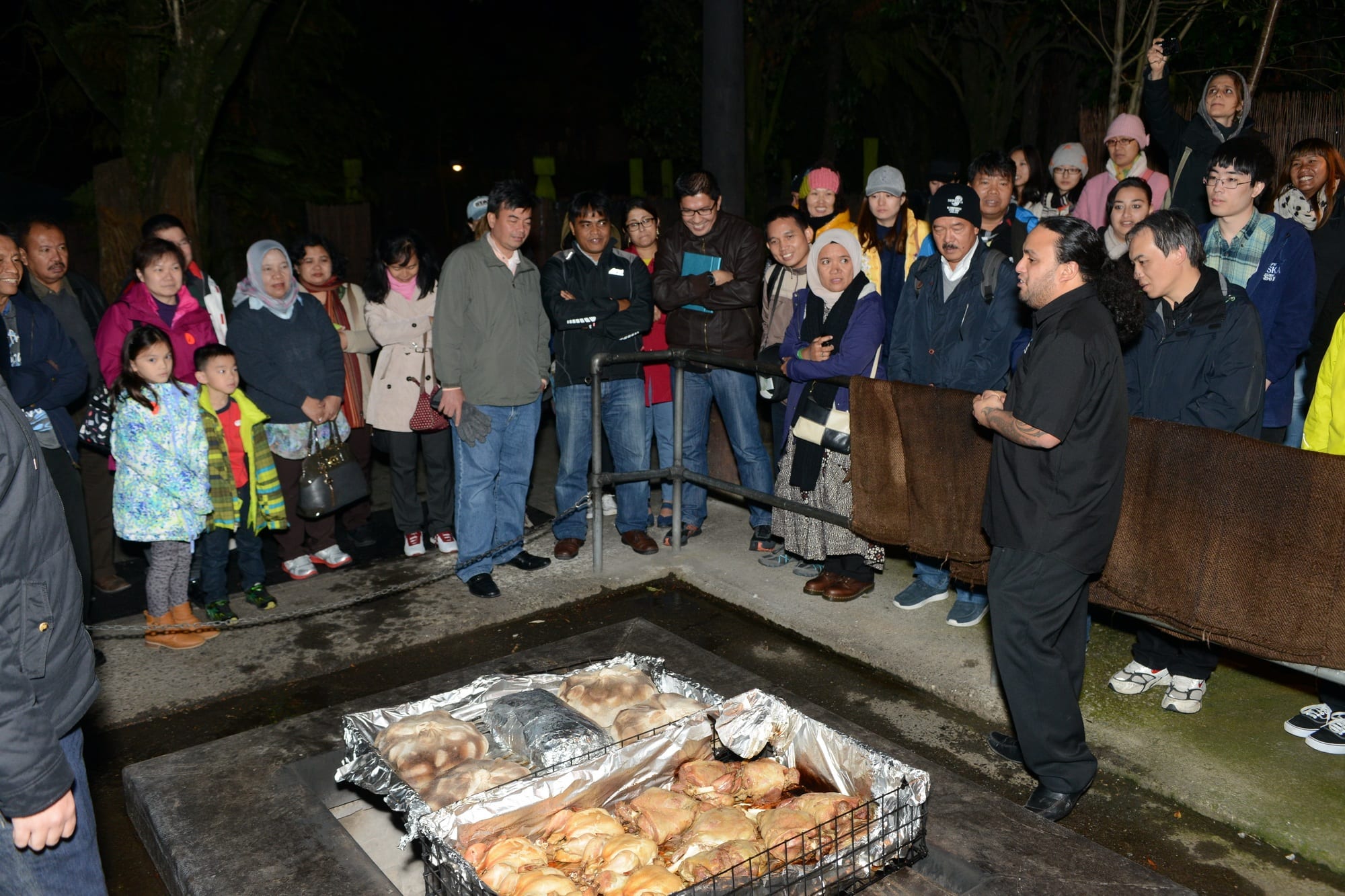
From National Park we travelled to Taupo for the night, the warmth of the hotel was very welcome. Sunday morning dawned cold but clear and sunny giving us good views of Lake Taupo and parts of the volcanoes. The Huka Falls and then Aratiatia Dam were the next two stops, illustrating both the power and energy producing capability of the Waikato River. For the rest of the day we combined geology, Maori culture and tourism. Our visit to the Whakarewarewa Maori Village and Thermal Area was facinating. It was followed by lunch and great views of the region from the gondola. The busy weekend ended with a hangi and cultural show at the Mitai Maori Village
