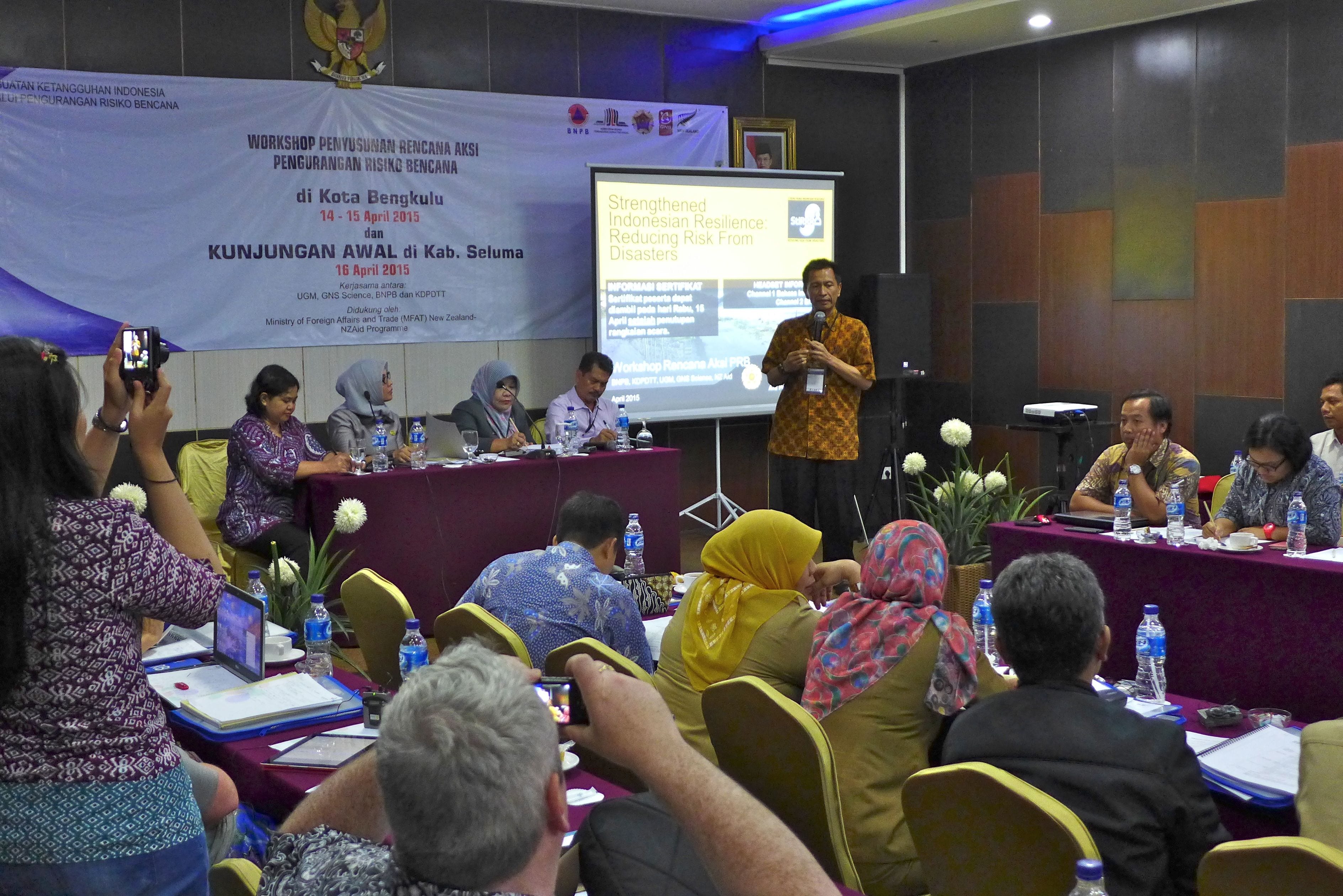
Part of the StIRRRD team spent last week in Kota Bengkuku, Sumatra running an DRR Action Plan Workshop and renewing contacts in the Kota. The aim of this visit was to facilitate the production of a draft DRR action plan for Kota Bengkulu. The draft plan was developed during the course of the workshop by participants from local government, NGOs, Bengkulu University and volunteer organisations.
 The first day was largely taken up with technical presentations including introducing the tectonic setting of western Sumatra, the regional geology, the earthquake and tsunami hazard, using GIS to map hazard and risk, coastal erosion, flooding and landsliding.
We also heard from the head of local government for Kota Bengkulu, who gave us a useful insight into the budgeting process in the Kota. The last session of the day was spent undertaking a Seriousness, Management, Growth analysis of the 4 natural hazards deemed to be Bengkulu’s most serious: earthquakes, tsunami, flooding and landsliding.
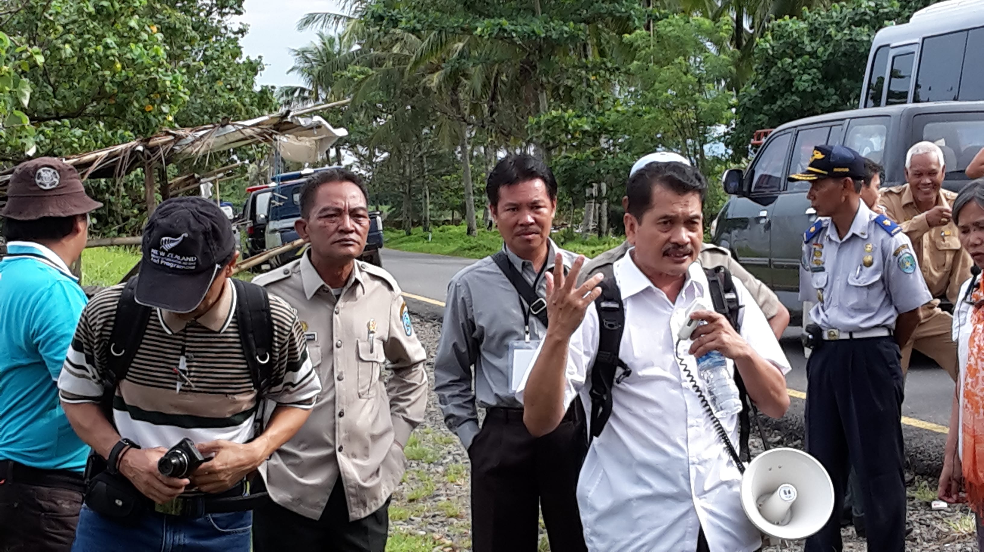
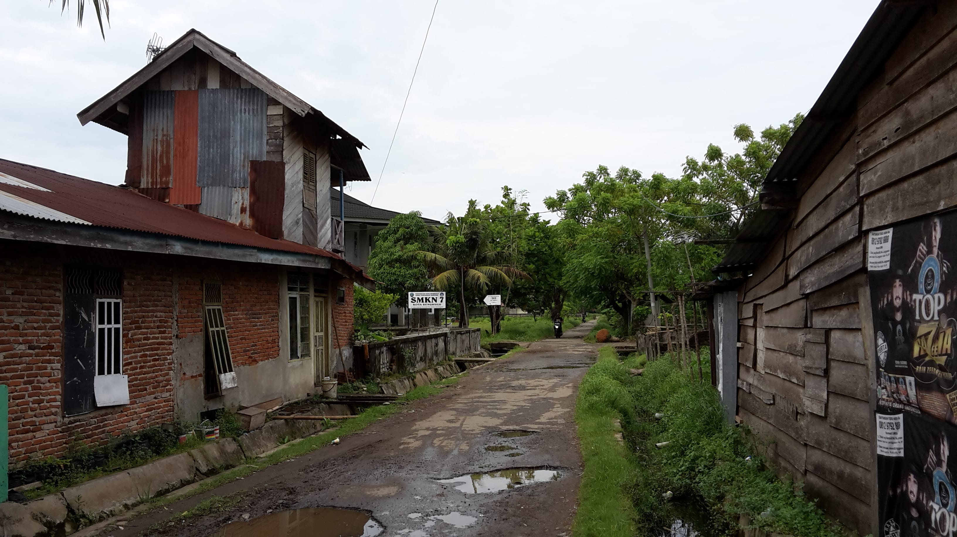
The next morning, we had a short field trip around Bengkulu. We saw an example of coastal protection by a sea wall, flood protection where the road had been raised and flood gates built to protect residents from the flooding that regularly occurs for a few days a year. The houses on the downstream side of the road are much lower than the newer houses and are still at risk from floodwaters. Finally we visited SMKN 7, a region of Kota Bengkulu that was badly affected by shaking and liquefaction during the 2007 earthquake.
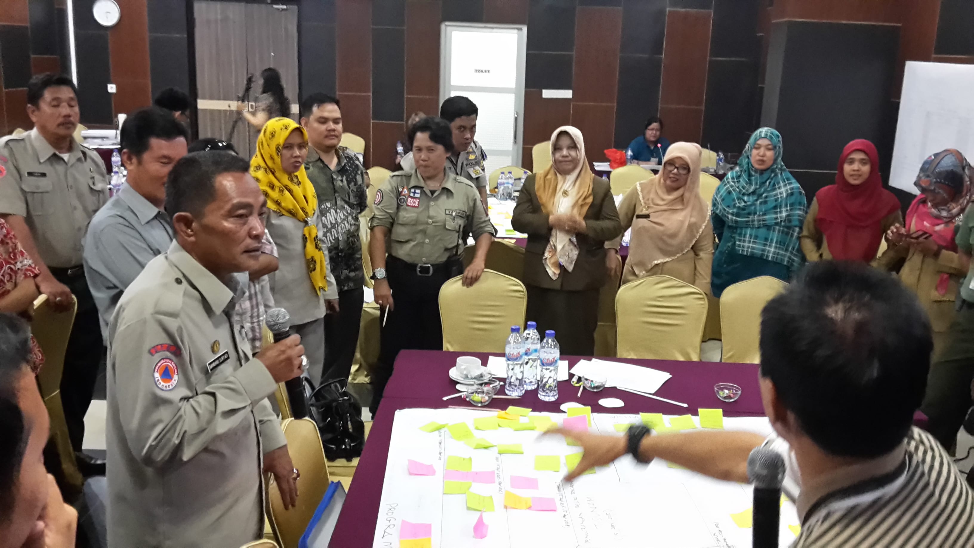
The final afternoon was spent developing the draft Action Plan for DRR in Kota Bengkulu based around the hazards; earthquakes, tsunami, and flooding and landslides. We used a collaborative method which involved all participants and addressed 4 aspects of DRR; human resources, organisations and relationships, activities, and financials. Plans and ideas were placed on a timeline using post-it notes, e.g., activities that can be achieved in 6 months, 1 year, 2 years. For example, under human resources the 6 month plan may be to recruit volunteers and 1 year plan to train those volunteers. Once the chart was filled, the sides debated with each other to refine the plans. The post-it notes could be moved around, sometimes swapped from one aspect to another or combined. Finally a spokesperson presented the chart to the whole room for further debate and refinement. These draft plans will be collated and reviewed by UGM and GNS Science. There will be a session during the New Zealand study tour for review of the draft action plans from the four provinces; Kota Bengkulu, Pesisir Selatan, Donggala and Mataram.
West Sumatra is situated on a fast moving plate boundary and natural hazards are inevitable. What we have been doing in the workshop is a step toward building resilience in the community so that when the earthquake or tsunami occurs, they are prepared and hence casualties, damage to infrastructure, and disruption to their lives are minimised. The goal is to have communities that can absorb the effects of these events.


