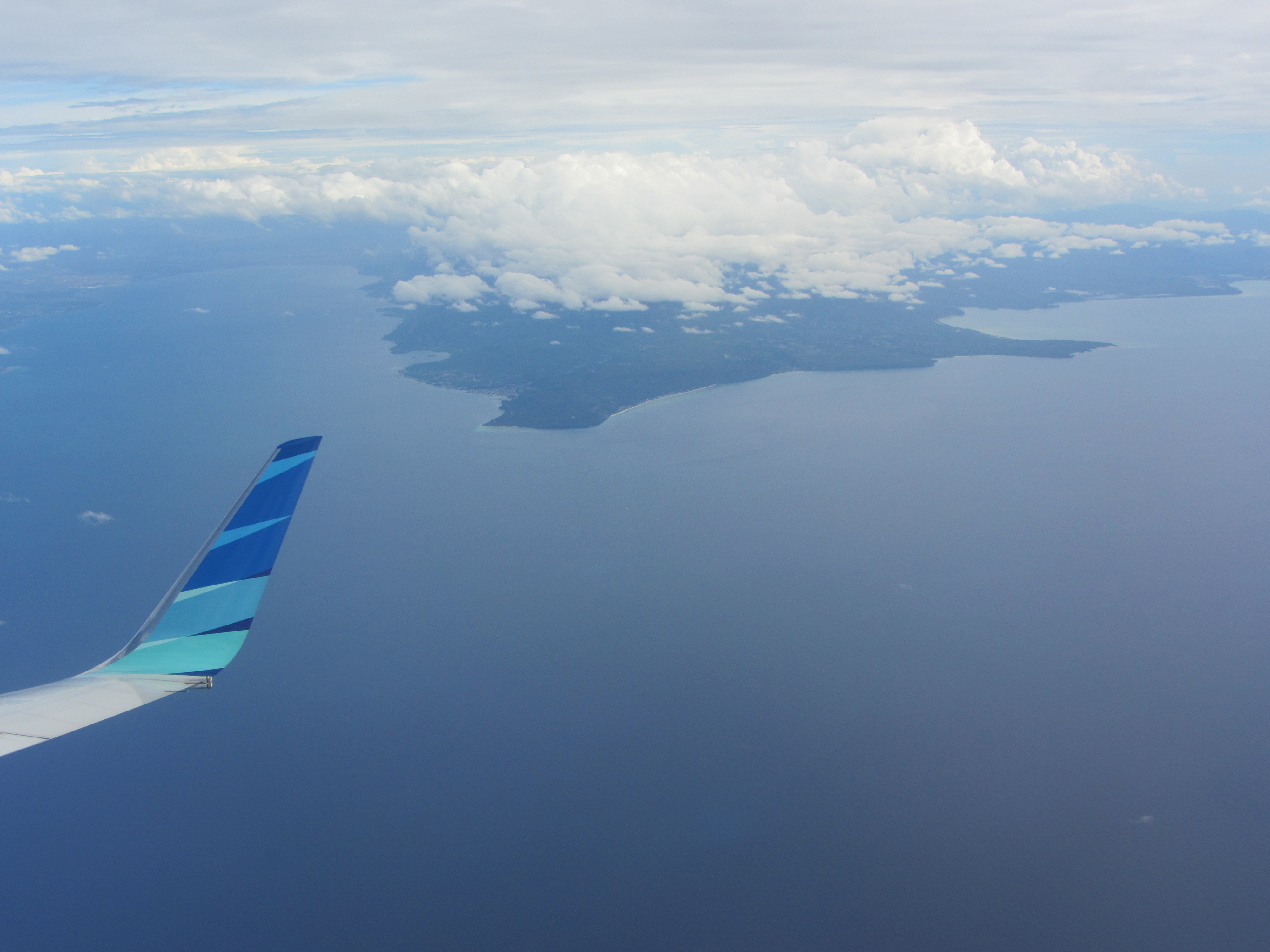
We’re back in Donggala, Central Sulawesi, following on from our introductory visit here in November 2014.

This time we’ve worked with local government staff and NGOs to develop a natural hazard risk reduction action plan for Donggala. To prepare for the action plan we first discussed Donggala’s hazards, risks and current risk reduction practices and discussed a range of risk reduction options. As well as StIRRRD team expertise in earthquake engineering, landslide early warning systems, GIS mapping, social science and risk reduction expertise, we also included in our team river flood and debris flow management expertise from local government in New Zealand (James Flanagan and Michael Goldsmith) and tsnuami expert Gegar Prasetya.


We were able to put some of these learnings into practice when visiting some field locations. The villages of Towale and Salubomba on the west coast of the Donggala peninsula were affected by the 1968 tsunami and today face an increasing number of storm surge events, coastal erosion, sea level rise impacts as well as river flooding from heavy rainfall in upper catchments. In both villages, seawalls had been constructed too far back from the water to offer any practical protection and in Towale the seawall was causing ponding on the landward side. Tsunami and coastal engineering specialists from the StIRRRD team were able to offer advice to the BPBD (emergency management) and village representatives on seawall location and Tadulako University had staff keen to offer assistance in bathymetric survey and seawall design.


Towale has been identified as a candidate for the government’s “Resilient Village” programme and has been working toward a better understanding of its risks and improving its preparedness. As part of our visit we had a good discussion about the importance of mangroves. The village had noticed a gradual decline in fish after the removal of much of their mangrove forest many years ago (for firewood and building materials) and were starting to appreciate the importance of mangroves as protection from coastal hazards such as storm surge. Other field locations included landslides affecting inland roads and river flooding affecting important bridges which connect parts of the village together. The area is also at high risk from damaging earthquakes with the potential for tsunami. Add to that the possibility of a dusting of ash from volcanic centres to the east, and Donggala just about has it all!


